Click to visit the main New York Public Library Homepage
The New York Public Library
Digital Collections
About Digital Collections
Browse
Search only public domain materials
Items
Collections
Divisions
Home
Search
Browse
About
Search only public domain materials
Items
Collections
Divisions
Digital Collections
Using Images
Using Data
Search
Filtered search
Show filters
Hide filters
Show Only Public Domain
topic
x
Real property
Fire insurance
4687
Cities & towns
4685
Landowners
125
Description and travel
111
More
Less
name
Sanborn Map Company
4687
G.W. Bromley & Co
598
Ullitz, Hugo
450
E.B. Hyde & Co
384
Bromley, George Washington
377
More
Less
collection
Atlases of New York City
5999
Atlases of the United States
723
Maps of North America
156
Maps of New York City and State
98
Prospectus of the New Rochelle Co-operative Business League, incorporated under laws of the State of New York, 1905
10
More
Less
place
New York (State)
6691
New York
1268
Brooklyn (New York, N.Y.)
619
Maps
378
Manhattan (New York, N.Y.)
323
More
Less
genre
Maps
6904
Atlases
721
Cadastral maps
256
Indexes
80
Title pages
35
More
Less
publisher
Sanborn Map Company
4687
G.W. Bromley & Co
418
E. Belcher Hyde
267
E. Robinson Co
246
F. W. Beers & Co
148
More
Less
division
Map Division
6949
Milstein Division
29
Schomburg Jean Blackwell Hutson Research and Reference Division
10
type
cartographic
6872
text
134
still image
14
Date Range
to
6,988 results found
Filtering on:
x
Date
: 1877 - 1914
x
Topic
: Real property
Sort by:
Title
Date created
Date digitized
Sequence
Results 1001 - 1050
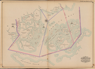
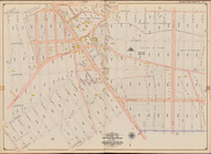
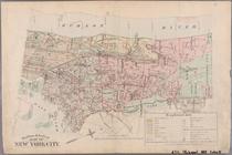
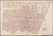
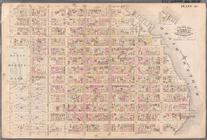
Jamaica Bay and Rockaway Beac…
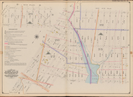
Bounded by Avenue Q, E. 36th …
Plate 20:: [Bounded by E. 74t…
Bounded by E. 52nd St., Avenu…
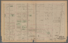
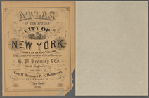
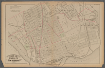
Atlas of the entire city of N…
Plate 16:: [Bounded by W. 62n…
Bounded by W. 12th St., Avenu…
Bounded by Avenue V, Ocean Av…
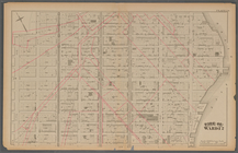
Bounded by Avenue K, E. 53rd …
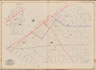
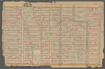
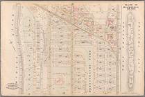
Plate 34:: [Bounded by 156th …
Plate 24:: [Bounded by E. 120…
Bounded by (Fresh Creek) E. 1…
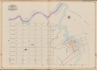
Plate 12:: [Bounded by W. 26t…
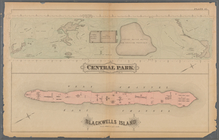
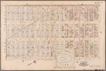
Plate 41:: [Central Park boun…
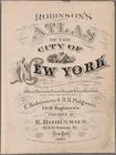
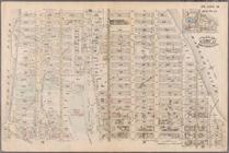
Atlas of the city of New York…
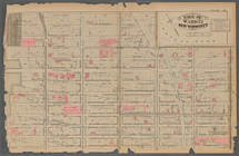
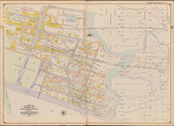
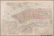
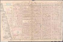
Outline & Index Map of New Yo…
Outline & Index Map of New Yo…
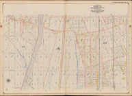
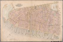
Plate 1: Bounded by Battery P…
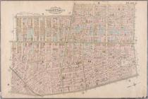
Plate 2: Bounded by West Stre…
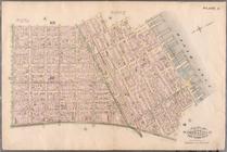
Plate 3: Bounded by West Stre…
Plate 4: West Broadway, Canal…
Plate 5: Bounded by Clinton S…
Plate 6: Bounded by Rutgers S…
Plate 7: Bounded by Avenue A,…
Plate 8: Bounded by Bowery, F…
Plate 9: Bounded by Fourth Av…
Plate 10: Bounded by West Str…
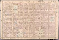
Plate 11: Bounded by W. 27th …
Plate 12: Bounded by W. 27th …
Plate 13: Bounded by W. 40th …
Plate 14: Bounded by W. 40th …
Plate 15: Bounded by W. 52nd …
Plate 16: Bounded by W. 52nd …
Plate 17: Bounded by W. 64th …
Plate 18: Bounded by E. 64th …
Plate 19: Bounded by E. 76th …
Plate 20: Bounded by E. 89th …
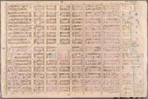
Plate 21: Bounded by E. 102nd…
Plate 22: Bounded by E. 115th…
Plate 23: Bounded by W. 77th …
Plate 24: Bounded by Twelfth …
Plate 25: Bounded by Hudson R…
Plate 26: Bounded by E. 128th…
Plate 27: Bounded by Eighth A…
Plate 28: Bounded by W. 129th…
Plate 29: W. 147th Street, Ex…
Plate 30: Bounded by W. 166th…
Plate 31: Bounded by Harlem R…
Plate 32: Bounded by Harlem R…
Plate 33: E. 144th Street, Ri…
1
2
3
4
5
6
7
8
9
10
…
27
28
Previous
Next
1
2
3
4
5
6
7
8
9
10
…
27
28
Previous
Next