Click to visit the main New York Public Library Homepage
The New York Public Library
Digital Collections
About Digital Collections
Browse
Search only public domain materials
Items
Collections
Divisions
Home
Search
Browse
About
Search only public domain materials
Items
Collections
Divisions
Digital Collections
Using Images
Using Data
Search
Filtered search
Show filters
Hide filters
Show Only Public Domain
topic
Real property
3762
Cities & towns
3128
Fire insurance
3128
Railroads
76
Administrative and political divisions
59
More
Less
name
Sanborn Map Company
3128
Robinson, E. (Elisha)
249
E. Robinson Co
209
Pidgeon, R. H. (Roger H.)
177
F.W. Beers & Co
169
More
Less
collection
Atlases of New York City
3525
Maps of New York City and State
229
Atlases of the United States
227
Maps of North America
6
Series of advertising cards issued by Arbuckle Bros. Coffee Company, each consisting of a map of a United States state or territory with related illustrations
1
place
x
New York (State)
New York
457
Brooklyn (New York, N.Y.)
258
New York (N.Y.)
209
Erie County
148
More
Less
genre
Maps
3969
Atlases
227
Cadastral maps
40
Manuscript maps
14
Title pages
13
More
Less
publisher
Sanborn Map Company
3128
E. Robinson Co
209
F. W. Beers & Co
148
G.M. Hopkins & Co
108
G. W. Bromley & E. Robinson
80
More
Less
division
x
Map Division
type
cartographic
3971
text
18
still image
2
Date Range
to
3,988 results found
Filtering on:
x
Date
: 1878 - 1890
x
Division
: Map Division
x
Place
: New York (State)
x
Rights
: Public Domain
Sort by:
Title
Date created
Date digitized
Sequence
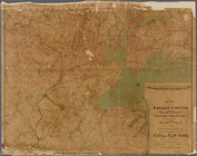
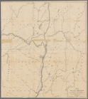
Map of the country thirty thr…
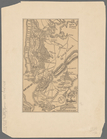
Sketch map of the City of New…
Sketch map of the city of New…
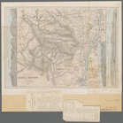
Map of the Hackensack & New Y…
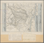
Map showing the present dista…
New map of the great metropol…
m
Taunton new guide map and dir…
m
New map of Kings and Queens c…
m
Robinson's map of New York Ci…
m
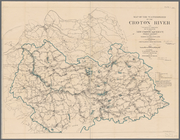
Map of the Passaic and Croton…
m
Watson's new map of New York …
m
Watson's new map of New York …
m
Topographical map of New York…
Map of the boundary line betw…
m
New map of Kings and Queens c…
Position de l'armée Américain…
Map of New York City and of M…
Plan of the Battle of Long Is…
Map of part of the Manor of P…
Battle of Long Island
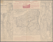
Map showing the only all rail…
m
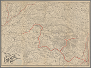
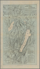
Maps of the picturesque Catsk…
m
Map of the Catskill Mountains
Plate I. Map of the watershed…
m
Map of the Catskill Mountains
A topographical map of a part…
Map of the boundary line betw…
Map of part of Bergen, Passai…
m
Map of the property of the Yo…
Plan of West Point
Plan of the Country Club Land…
m
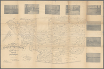
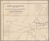
Village of New-Rochelle, New-…
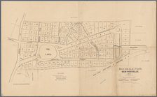
Rochelle Park, New-Rochelle, …
Map of Niagara Falls, suspens…
M[ap of par]t of the property…
Albany Rural Cemetery, 1884: …
New map of the city of Buffalo
Map of the village of Lyon Mo…
1889, Larchmont Harbor, N.Y.:…
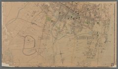
Map of City of Ithaca, N.Y.: …
Map showing the rail roads wi…
Roundabout Richfield Springs …
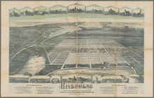
Riverhead, the home resort of…
m
Map of the city of Poughkeeps…
Map of the boundary line betw…
m
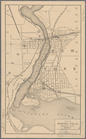
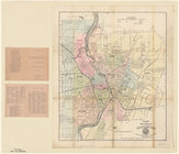
Map of the city of Rochester
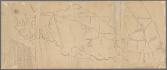
Map of the Manor of Scarsdale
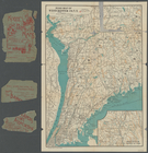
Map of Long Island Sound show…
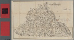
Plan of Orange County, New Yo…
Road map of Westchester Co., …
1
2
3
4
5
6
7
8
9
10
…
15
16
Previous
Next
1
2
3
4
5
6
7
8
9
10
…
15
16
Previous
Next