Click to visit the main New York Public Library Homepage
The New York Public Library
Digital Collections
About Digital Collections
Browse
Search only public domain materials
Items
Collections
Divisions
Home
Search
Browse
About
Search only public domain materials
Items
Collections
Divisions
Digital Collections
Using Images
Using Data
Search
Filtered search
Show filters
Hide filters
Show Only Public Domain
topic
Real property
86
Railroads
9
Administrative and political divisions
3
Ferries
3
Landowners
2
More
Less
name
Pidgeon, R. H. (Roger H.)
85
Robinson, E. (Elisha)
85
E. Robinson Co
84
J.B. Beers & Co
2
Lain and Company
2
More
Less
collection
Atlases of New York City
84
Maps of New York City and State
18
Maps of North America
1
place
x
New York
New York (State)
103
Brooklyn (New York, N.Y.)
52
New York (N.Y.)
51
Bronx (New York, N.Y.)
4
More
Less
genre
x
Maps
Manuscript maps
3
Cadastral maps
2
Index maps
2
Facsimiles
1
More
Less
publisher
E. Robinson Co
84
publisher not identified
3
Gaylord Watson
2
Lain & Co
2
Commission?
1
More
Less
division
Map Division
103
type
cartographic
103
Date Range
to
103 results found
Filtering on:
x
Date
: 1882 - 1886
x
Genre
: Maps
x
Place
: New York
Sort by:
Title
Date created
Date digitized
Sequence
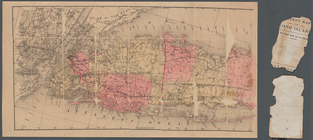
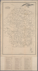
Sketch map of the City of New…
Sketch map of the city of New…
New map of the great metropol…
m
Taunton new guide map and dir…
m
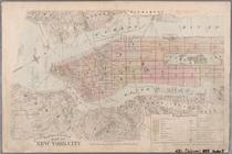
Robinson's map of New York Ci…
m
Watson's new map of New York …
m
New map of Kings and Queens c…
A topographical map of a part…
A plott of ye situations of t…
m
Map of Long Island
Water shed of the Croton River
m
Liquordom in New York City
Blackwell's, Ward's and Randa…
Map of property belonging to …
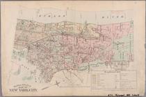
Watson's new map of Brooklyn …
Sectional map of New York, Br…
m
Map and profile of the New Yo…
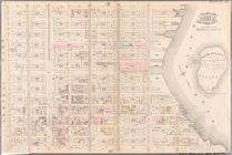
Map of Coney Island and Sheep…
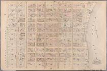
Green-Wood Cemetery, 1886
Outline & Index Map of New Yo…
Outline & Index Map of New Yo…
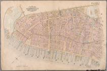
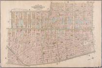
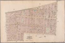
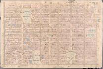
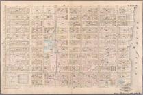
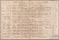
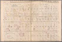
Plate 1: Bounded by Battery P…
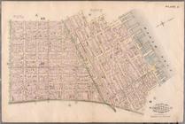
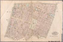
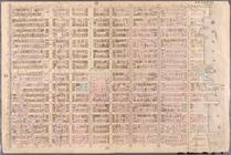
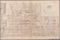
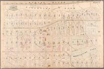
Plate 2: Bounded by West Stre…
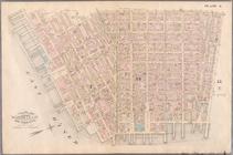
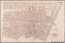
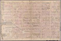
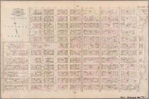
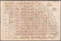
Plate 3: Bounded by West Stre…
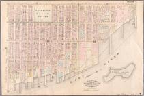
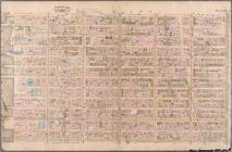
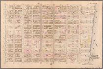
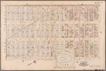
Plate 4: West Broadway, Canal…
Plate 5: Bounded by Clinton S…
Plate 6: Bounded by Rutgers S…
Plate 7: Bounded by Avenue A,…
Plate 8: Bounded by Bowery, F…
Plate 9: Bounded by Fourth Av…
Plate 10: Bounded by West Str…
Plate 11: Bounded by W. 27th …
Plate 12: Bounded by W. 27th …
Plate 13: Bounded by W. 40th …
Plate 14: Bounded by W. 40th …
Plate 15: Bounded by W. 52nd …
Plate 16: Bounded by W. 52nd …
Plate 17: Bounded by W. 64th …
Plate 18: Bounded by E. 64th …
Plate 19: Bounded by E. 76th …
Plate 20: Bounded by E. 89th …
Plate 21: Bounded by E. 102nd…
Plate 22: Bounded by E. 115th…
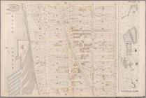
Plate 23: Bounded by W. 77th …
Plate 24: Bounded by Twelfth …
Plate 25: Bounded by Hudson R…
Plate 26: Bounded by E. 128th…
Plate 27: Bounded by Eighth A…
Plate 28: Bounded by W. 129th…
Plate 29: W. 147th Street, Ex…