Click to visit the main New York Public Library Homepage
The New York Public Library
Digital Collections
About Digital Collections
Browse
Search only public domain materials
Items
Collections
Divisions
Home
Search
Browse
About
Search only public domain materials
Items
Collections
Divisions
Digital Collections
Using Images
Using Data
Search
Filtered search
Show filters
Hide filters
Show Only Public Domain
topic
x
Real property
Cities & towns
3086
Fire insurance
3086
Landowners
19
Administrative and political divisions
6
More
Less
name
Sanborn Map Company
3086
E. Robinson Co
87
Pidgeon, R. H. (Roger H.)
87
Robinson, E. (Elisha)
87
Bourquin, F. (Frederick), 1808-
6
More
Less
collection
Atlases of New York City
3173
Maps of North America
26
Maps of New York City and State
7
Atlases of the United States
2
place
New York (State)
3180
New York
89
Brooklyn (New York, N.Y.)
45
New York (N.Y.)
44
Iowa
6
More
Less
genre
Maps
3204
Cadastral maps
26
Manuscript maps
5
Index maps
3
Indexes
2
More
Less
publisher
Sanborn Map Company
3086
E. Robinson Co
87
Published by Warner & Foote
6
publisher not identified
4
D.J. Lake
2
More
Less
division
Map Division
3208
type
cartographic
3205
text
4
Date Range
to
3,208 results found
Filtering on:
x
Date
: 1882 - 1886
x
Topic
: Real property
Sort by:
Title
Date created
Date digitized
Sequence
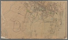
Map of the city of Detroit, 1…
Map of the Cherokee strip, In…
Snyder's real estate map of t…
Map of the city of Sheffield,…
m
Map of Polk County, Iowa : dr…
m
Map of Wright County, Iowa : …
m
Map of Adams County, Iowa : d…
m
Map of Charleston and its vic…
m
Real-estate map of Chicago
Map of St. Joseph, Mo. and vi…
m
Map of Sioux County, Iowa : d…
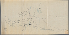
Plan and profile of proposed …
Plan of cottage sites at Magn…
m
Map of Crawford County, Iowa …
Map of Clay County, Florida
Map of Woodbury County, Iowa …
Putnam County Florida
Map of Chattanooga, Tenn.
Map of the city of Jacksonvil…
Map of Sea Isle City, Ludlam …
Map of Wild-Wood Beach: locat…
Map of the village of Lyon Mo…
Map of the city of Waltham, M…
m
Map of the city of Poughkeeps…
Map of the city of Washington…
Oil lands, Prentice Angell & …
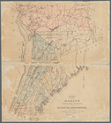
Historical maps of Sanbornton
Historical map of Sanbornton
Map of the manors erected wit…
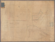
Map of Getty Square, Yonkers:…
A plott of ye situations of t…
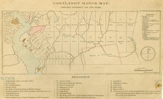
Cortlandt Manor map : prepare…
Map of property belonging to …
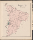
Bardstown, Precinct No.1, Nel…
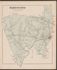
Bardstown, Precinct No. 9, Ne…
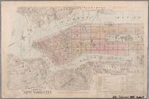
Atlas of the city of New York…
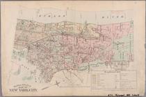
Outline & Index Map of New Yo…
Outline & Index Map of New Yo…
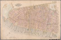
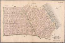
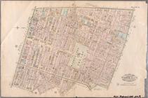
Plate 1: Bounded by Battery P…
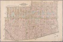
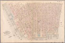
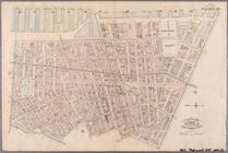
Plate 2: Bounded by West Stre…
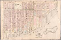
Plate 3: Bounded by West Stre…
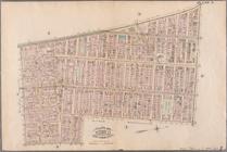
Plate 4: West Broadway, Canal…
Plate 5: Bounded by Clinton S…
Plate 6: Bounded by Rutgers S…
Plate 7: Bounded by Avenue A,…
Plate 8: Bounded by Bowery, F…
Plate 9: Bounded by Fourth Av…
Plate 10: Bounded by West Str…
Plate 11: Bounded by W. 27th …
Plate 12: Bounded by W. 27th …
1
2
3
4
5
6
7
8
9
10
…
12
13
Previous
Next
1
2
3
4
5
6
7
8
9
10
…
12
13
Previous
Next