Click to visit the main New York Public Library Homepage
The New York Public Library
Digital Collections
About Digital Collections
Browse
Search only public domain materials
Items
Collections
Divisions
Home
Search
Browse
About
Search only public domain materials
Items
Collections
Divisions
Digital Collections
Using Images
Using Data
Search
Filtered search
Show filters
Hide filters
Show Only Public Domain
topic
Real property
225
Local transit
69
Railroads
62
Piers
43
Administrative and political divisions
35
More
Less
name
G.W. Bromley & Co
234
E. Robinson Co
219
Pidgeon, R. H. (Roger H.)
219
Robinson, E. (Elisha)
219
Bromley, George Washington
132
More
Less
collection
Atlases of New York City
580
Maps of New York City and State
198
Atlases of the United States
15
William J. Wilgus papers
5
I. N. Phelps Stokes Collection of American Historical Prints
2
More
Less
place
x
New York (N.Y.)
New York (State)
405
New York
329
Manhattan (New York, N.Y.)
228
Bronx (New York, N.Y.)
175
More
Less
genre
Maps
800
Cadastral maps
58
Manuscript maps
19
Topographic maps
18
Atlases
15
More
Less
publisher
E. Robinson Co
218
G.W. Bromley & Co
186
Sanborn Map Company
128
G. W. Bromley & Co
48
Julius Bien & Co
15
More
Less
division
Map Division
795
Manuscripts and Archives Division
6
Wallach Division: Print Collection
3
Milstein Division
1
type
x
cartographic
still image
5
text
5
Date Range
to
805 results found
Filtering on:
x
Date
: 1882 - 1914
x
Place
: New York (N.Y.)
x
Type
: cartographic
Sort by:
Title
Date created
Date digitized
Sequence
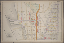
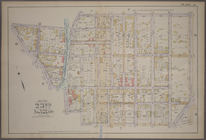
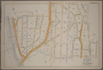
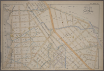
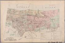
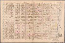
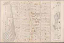
Outline and Index Map of the …
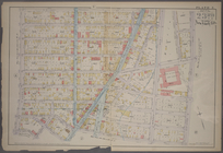
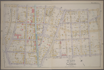
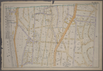
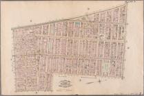
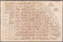
Plate 1: [Bounded by E. 137th…
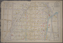
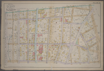
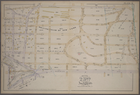
Plate 2: [Bounded by E. 144th…
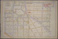
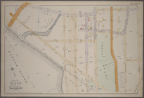
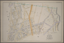
Plate 3: [Bounded by River Av…
Plate 4: [Bounded by Cromwell…
Plate 5: [Bounded by E. 154th…
Plate 6: [Bounded by E. 162nd…
Plate 7: [Bounded by St. Anns…
Plate 8: [Bounded by E. 164th…
Plate 9: [Bounded by E. 168th…
Plate 10: [Bounded by E. 170t…
Plate 11: [Bounded by E. 161s…
Plate 12: [Bounded by Devoe S…
Plate 13: [Bounded by Depot P…
Plate 14: [Bounded by Sherida…
Plate 15: [Bounded by Boston …
Plate 16: [Bounded by E. 167t…
Plate 17: [Bounded by E. 149t…
Plate 18: [Bounded by E. 138t…
Plate 20: [Bounded by Dongan …
Plate 19: [Bounded by Bungay …
Plate 21: [Bounded by Winslow…
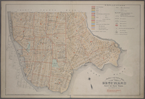
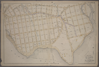
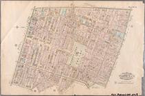
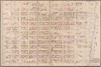
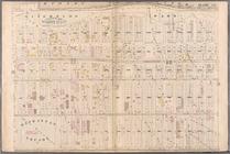
Outline & Index Map of New Yo…
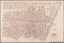
Outline & Index Map of New Yo…
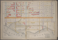
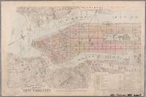
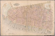
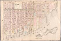
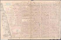
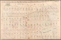
Plate 1: Bounded by Battery P…
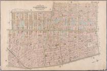
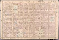
Plate 2: Bounded by West Stre…
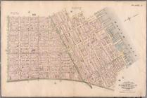
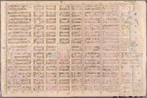
Plate 3: Bounded by West Stre…
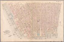
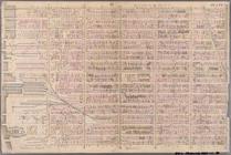
Plate 4: West Broadway, Canal…
Plate 5: Bounded by Clinton S…
Plate 6: Bounded by Rutgers S…
Plate 7: Bounded by Avenue A,…
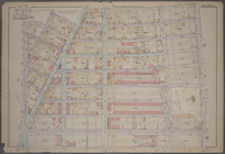
Plate 8: Bounded by Bowery, F…
Plate 9: Bounded by Fourth Av…
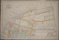
Plate 10: Bounded by West Str…
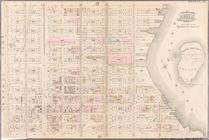
Plate 11: Bounded by W. 27th …
Plate 12: Bounded by W. 27th …
Plate 13: Bounded by W. 40th …
Plate 14: Bounded by W. 40th …
Plate 15: Bounded by W. 52nd …
Plate 16: Bounded by W. 52nd …
Plate 17: Bounded by W. 64th …
Plate 18: Bounded by E. 64th …
Plate 19: Bounded by E. 76th …
Plate 20: Bounded by E. 89th …
Plate 21: Bounded by E. 102nd…
Plate 22: Bounded by E. 115th…
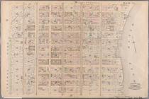
Plate 23: Bounded by W. 77th …
Plate 24: Bounded by Twelfth …
Plate 25: Bounded by Hudson R…
Plate 26: Bounded by E. 128th…
1
2
3
4
Previous
Next
1
2
3
4
Previous
Next