Click to visit the main New York Public Library Homepage
The New York Public Library
Digital Collections
About Digital Collections
Browse
Search only public domain materials
Items
Collections
Divisions
Home
Search
Browse
About
Search only public domain materials
Items
Collections
Divisions
Digital Collections
Using Images
Using Data
Search
Filtered search
Show filters
Hide filters
Show Only Public Domain
topic
Real property
3770
Fire insurance
3325
Cities & towns
3302
Administrative and political divisions
194
Railroads
175
More
Less
name
Sanborn Map Company
3302
E. Robinson Co
298
Robinson, E. (Elisha)
297
Pidgeon, R. H. (Roger H.)
225
Austro-Hungarian Monarchy. Militärgeographisches Institut
82
More
Less
collection
Atlases of New York City
3712
Maps of North America
582
Atlases of the United States
387
Maps of New York City and State
254
Spezialkarte der Osterreichisch-Ungarischen Monarchie
82
More
Less
place
New York (State)
3920
New York
331
New York (N.Y.)
270
Manhattan (New York, N.Y.)
132
Bronx (New York, N.Y.)
107
More
Less
genre
Maps
5078
Atlases
387
Topographic maps
131
Cadastral maps
122
Plans
86
More
Less
publisher
Sanborn Map Company
3302
E. Robinson Co
297
K.u.K. Militargeographisches Institut
82
C. Wolverton
80
publisher not identified
69
More
Less
division
Map Division
5038
Rare Book Division
14
Schomburg Jean Blackwell Hutson Research and Reference Division
14
Manuscripts and Archives Division
13
General Research Division
7
More
Less
type
x
cartographic
text
43
still image
32
Date Range
to
5,092 results found
Filtering on:
x
Date
: 1883 - 1894
x
Type
: cartographic
Sort by:
Title
Date created
Date digitized
Sequence
The Jeannette ; Lost In the I…
Status of slavery in the Unit…
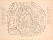
Kiev teperʹ i prezhde
Europe im 17. und 18. Jahrhun…
m
Carta dell' Egitto, Sudan, Ma…
Reisen in Mato Grosso 1887/88
Standard Railway Time (outlin…
Map showing the boundary of t…
m
[Tom Sawyer Abroad], "Map of …
Plan (po chertezhu Meierberga…
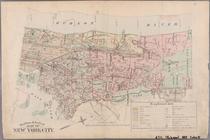
Outline and Index Map of the …
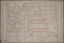
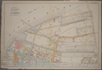
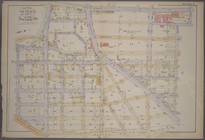
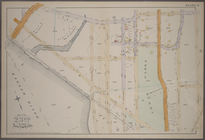
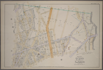
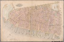
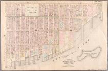
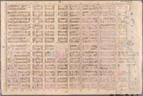
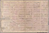
Plate 1: [Bounded by E. 137th…
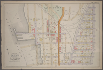
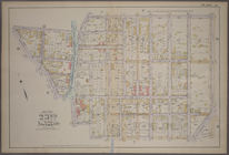
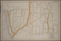
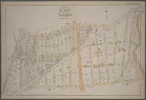
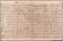
Plate 2: [Bounded by E. 144th…
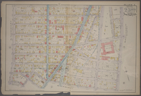
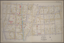
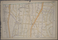
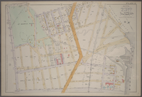
Plate 3: [Bounded by River Av…
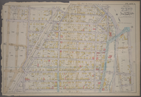
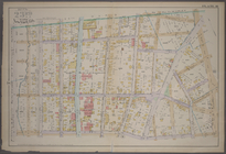
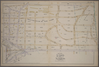
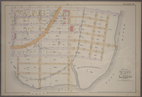
Plate 4: [Bounded by Cromwell…
Plate 5: [Bounded by E. 154th…
Plate 6: [Bounded by E. 162nd…
Plate 7: [Bounded by St. Anns…
Plate 8: [Bounded by E. 164th…
Plate 9: [Bounded by E. 168th…
Plate 10: [Bounded by E. 170t…
Plate 11: [Bounded by E. 161s…
Plate 12: [Bounded by Devoe S…
Plate 13: [Bounded by Depot P…
Plate 14: [Bounded by Sherida…
Plate 15: [Bounded by Boston …
Plate 16: [Bounded by E. 167t…
Plate 17: [Bounded by E. 149t…
Plate 18: [Bounded by E. 138t…
Plate 20: [Bounded by Dongan …
Plate 19: [Bounded by Bungay …
Plate 21: [Bounded by Winslow…
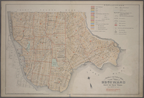
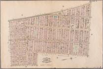
Outline & Index Map of New Yo…
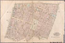
Outline & Index Map of New Yo…
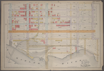
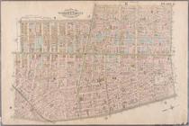
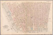
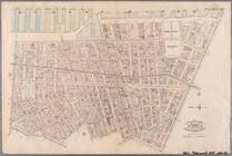
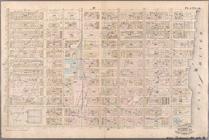
Plate 1: Bounded by Battery P…
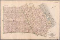
Plate 2: Bounded by West Stre…
Plate 3: Bounded by West Stre…
Plate 4: West Broadway, Canal…
Plate 5: Bounded by Clinton S…
Plate 6: Bounded by Rutgers S…
Plate 7: Bounded by Avenue A,…
Plate 8: Bounded by Bowery, F…
Plate 9: Bounded by Fourth Av…
Plate 10: Bounded by West Str…
Plate 11: Bounded by W. 27th …
Plate 12: Bounded by W. 27th …
Plate 13: Bounded by W. 40th …
Plate 14: Bounded by W. 40th …
Plate 15: Bounded by W. 52nd …
Plate 16: Bounded by W. 52nd …
1
2
3
4
5
6
7
8
9
10
…
20
21
Previous
Next
1
2
3
4
5
6
7
8
9
10
…
20
21
Previous
Next