Click to visit the main New York Public Library Homepage
The New York Public Library
Digital Collections
About Digital Collections
Browse
Search only public domain materials
Items
Collections
Divisions
Home
Search
Browse
About
Search only public domain materials
Items
Collections
Divisions
Digital Collections
Using Images
Using Data
Search
Filtered search
Show filters
Hide filters
Show Only Public Domain
topic
Real property
90
Piers
11
Local transit
10
Railroads
10
Administrative and political divisions
9
More
Less
name
Pidgeon, R. H. (Roger H.)
110
Robinson, E. (Elisha)
110
E. Robinson Co
109
Mueller, A. H. (August H.)
22
G.W. & C.B. Colton & Co
3
More
Less
collection
Atlases of New York City
109
Maps of New York City and State
25
Wallach Division Picture Collection
1
place
x
New York (N.Y.)
New York (State)
111
New York
92
Manhattan (New York, N.Y.)
41
Bronx (New York, N.Y.)
6
More
Less
genre
x
Maps
Index maps
4
Cadastral maps
2
Engineering drawings
1
Manuscript maps
1
publisher
E. Robinson Co
109
G.W. & C.B. Colton & Co
4
Rand McNally & Co
2
The Trow City Directory Company
2
Adolph Wittemann, 58 and 60 Reade Street
1
More
Less
division
Map Division
134
Wallach Division: Picture Collection
1
type
cartographic
134
still image
1
Date Range
to
135 results found
Filtering on:
x
Date
: 1885 - 1889
x
Genre
: Maps
x
Place
: New York (N.Y.)
Sort by:
Title
Date created
Date digitized
Sequence
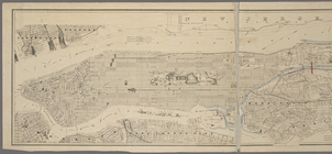
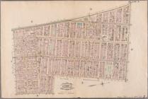
Map of the country thirty thr…
m
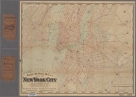
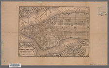
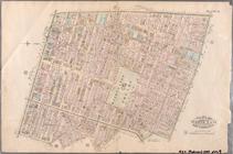
Robinson's map of New York Ci…
m
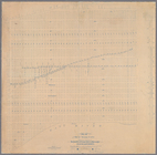
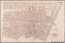
Driving road chart of the cou…
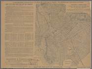
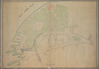
Green-Wood Cemetery, 1887
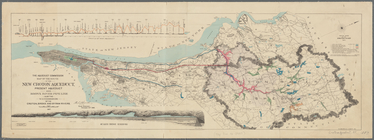
Map of the route of the new C…
m
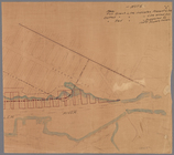
Manuscript map of New York Ci…
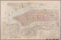
Map of New York City
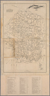
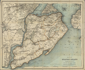
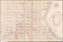
Map of Staten Island, Richmon…
Map of the City of New York :…
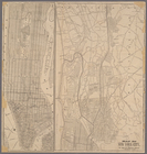
Map of New York City
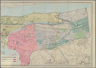
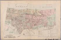
Map of New York City and surr…
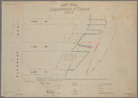
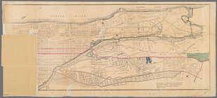
Sketch showing the ground und…
Monteith's map of the City of…
m
Map of New-York City / prepar…
New bond paper map of New-Yor…
Plan of New York City between…
m
Map of the City & County of N…
Map of the City of New York
m
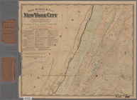
Rand, McNally & Co.'s map of …
m
Colton's street map of the Ci…
Map of part of New York City …
m
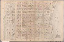
Map of the city of Brooklyn ;…
Map of New York City showing …
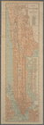
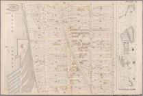
Map of New York City above 11…
m
Rand, McNally & Co.'s map of …
Outline & Index Map of New Yo…
Outline & Index Map of New Yo…
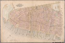
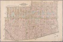
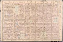
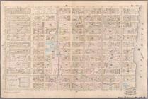
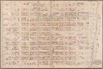
Plate 1: Bounded by Battery P…
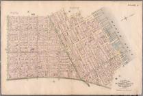
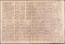
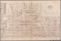
Plate 2: Bounded by West Stre…
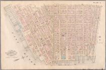
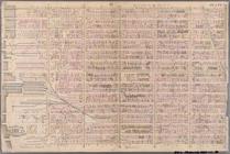
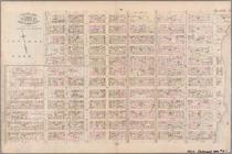
Plate 3: Bounded by West Stre…
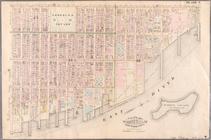
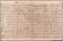
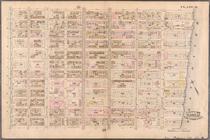
Plate 4: West Broadway, Canal…
Plate 5: Bounded by Clinton S…
Plate 6: Bounded by Rutgers S…
Plate 7: Bounded by Avenue A,…
Plate 8: Bounded by Bowery, F…
Plate 9: Bounded by Fourth Av…
Plate 10: Bounded by West Str…
Plate 11: Bounded by W. 27th …
Plate 12: Bounded by W. 27th …
Plate 13: Bounded by W. 40th …
Plate 14: Bounded by W. 40th …
Plate 15: Bounded by W. 52nd …
Plate 16: Bounded by W. 52nd …
Plate 17: Bounded by W. 64th …
Plate 18: Bounded by E. 64th …
Plate 19: Bounded by E. 76th …
Plate 20: Bounded by E. 89th …
Plate 21: Bounded by E. 102nd…
Plate 22: Bounded by E. 115th…
Plate 23: Bounded by W. 77th …