Click to visit the main New York Public Library Homepage
The New York Public Library
Digital Collections
About Digital Collections
Browse
Search only public domain materials
Items
Collections
Divisions
Home
Search
Browse
About
Search only public domain materials
Items
Collections
Divisions
Digital Collections
Using Images
Using Data
Search
Filtered search
Show filters
Hide filters
Show Only Public Domain
topic
Real property
901
Cities & towns
451
Fire insurance
451
Railroads
66
Administrative and political divisions
43
More
Less
name
Sanborn Map Company
451
Robinson, E. (Elisha)
158
Bromley, George Washington
135
Bromley, Walter Scott
135
G.W. Bromley & Co
135
More
Less
collection
Atlases of New York City
781
Maps of New York City and State
223
Atlases of the United States
194
Maps of North America
4
Series of advertising cards issued by Arbuckle Bros. Coffee Company, each consisting of a map of a United States state or territory with related illustrations
1
place
x
New York (State)
New York
437
Manhattan (New York, N.Y.)
192
New York (N.Y.)
150
Brooklyn (New York, N.Y.)
131
More
Less
genre
x
Maps
Atlases
194
Cadastral maps
36
Road maps
16
Geological maps
13
More
Less
publisher
Sanborn Map Company
451
G.W. Bromley & Co
135
E. Robinson Co
119
E.B. Hyde & Co
76
Watson & co
53
More
Less
division
Map Division
1202
Manuscripts and Archives Division
1
type
cartographic
1202
text
6
still image
3
Date Range
to
1,203 results found
Filtering on:
x
Date
: 1888 - 1898
x
Genre
: Maps
x
Place
: New York (State)
Sort by:
Title
Date created
Date digitized
Sequence
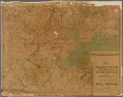
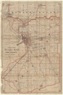
Map of the City of New York a…
Map of the Hackensack & New Y…
Map of the Harlem River and S…
m
New guide map of New York Cit…
m
Manhattan borough and part of…
The Matthews-Northrup up-to-d…
m
Plans for the improvement of …
Plan of Bay Ridge Parkway
Map of the enlarged city of B…
Map of the 23rd and 24th ward…
Proposed site on Staten Islan…
Bridgman's new map of the Cit…
m
Rand McNally & Co.'s road map…
m
Map of the Passaic and Croton…
Map of New York City : showin…
Livingston Heights : Livingto…
m
Topographical map of New York…
Map of the borough of Manhatt…
Map of New York City and vici…
m
Vicinity of New York
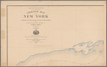
Preliminary geologic map of A…
Economic and geologic map of …
Economic and geologic map of …
Map of the boundary line betw…
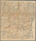
A topographical map of the no…
m
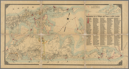
Map of Long Island: based upo…
m
Map of Long Island: based upo…
Colton's road map of the coun…
Road map of Erie County and p…
Aqueduct Commissioners topogr…
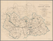
Plate I. Map of the watershed…
Van Loan's road map of the Ca…
m
Preliminary geologic map of N…
m
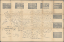
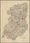
Map of the property of the Yo…
Plan of the Country Club Land…
m
Village of New-Rochelle, New-…
Rochelle Park, New-Rochelle, …
M[ap of par]t of the property…
Rand, McNally & Co.'s indexed…
New York to New Rochelle: fro…
1889, Larchmont Harbor, N.Y.:…
Coast chart, no. 118, Napeagu…
Map of City of Ithaca, N.Y.: …
Albany and vicinity
Roundabout Richfield Springs …
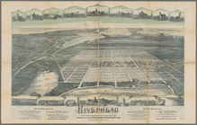
Riverhead, the home resort of…
Tenth l. h. district
Part of the third l. h. distr…
Map of the boundary line betw…
Map of Steuben County: to acc…
1
2
3
4
5
Previous
Next
1
2
3
4
5
Previous
Next