Click to visit the main New York Public Library Homepage
The New York Public Library
Digital Collections
About Digital Collections
Browse
Search only public domain materials
Items
Collections
Divisions
Home
Search
Browse
About
Search only public domain materials
Items
Collections
Divisions
Digital Collections
Using Images
Using Data
Search
Filtered search
Show filters
Hide filters
Show Only Public Domain
topic
Real property
979
Cities & towns
451
Fire insurance
451
Administrative and political divisions
188
Railroads
171
More
Less
name
Sanborn Map Company
451
E. Robinson Co
190
Robinson, E. (Elisha)
188
Bromley, George Washington
136
Bromley, Walter Scott
136
More
Less
collection
Atlases of New York City
916
Maps of North America
563
Atlases of the United States
393
Maps of New York City and State
272
Spezialkarte der Osterreichisch-Ungarischen Monarchie
84
More
Less
place
New York (State)
1203
New York
437
New York (N.Y.)
199
Manhattan (New York, N.Y.)
197
Brooklyn (New York, N.Y.)
139
More
Less
genre
x
Maps
Atlases
393
Topographic maps
155
Cadastral maps
98
Plans
85
More
Less
publisher
Sanborn Map Company
451
E. Robinson Co
189
G.W. Bromley & Co
135
K.u.K. Militargeographisches Institut
84
C. Wolverton
80
More
Less
division
Map Division
2255
Schomburg Jean Blackwell Hutson Research and Reference Division
15
Manuscripts and Archives Division
6
General Research Division
5
Wallach Division: Picture Collection
3
More
Less
type
cartographic
2278
still image
42
text
30
Date Range
to
2,290 results found
Filtering on:
x
Date
: 1888 - 1898
x
Genre
: Maps
Sort by:
Title
Date created
Date digitized
Sequence
Results 751 - 800
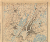
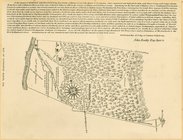
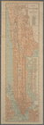
Map of New York City
Location of North River Bridg…
Plan showing changes in West …
Rand, McNally & Co.'s map of …
Plan of the tracks under Unio…
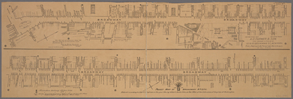
Pocket map of Broadway, New Y…
Proposed Harlem River Drive f…
m
Map of New York City : showin…
m
Map of part of New York City …
Modification in the pierhead…
m
Plan of the Harlem River Driv…
Map showing location of works…
m
Map of part of New York City:…
m
Map or plan of streets, roads…
Property nos. 43, 45, and 47 …
A map of the City of New York…
Ville de New-York
Plan of the extension of the …
Rand McNally & Co.'s guide ma…
Map of northern part of New Y…
m
Map showing part of the city …
Diagram showing location of u…
Map of Staten Island, Richmon…
Real estate map of property b…
m
Map of New York City from Bat…
m
Staten Island drive and bicyc…
Map of Staten Island (Motanuc…
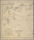
Bay and harbor of New York
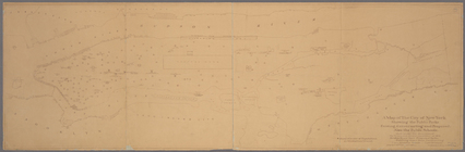
Map of Newtown Creek and vici…
Map of Livingston Manor, 1714
m
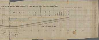
Profile of the New York and L…
m
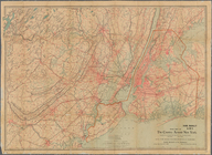
New York City and Vicinity.
Rand Mc Nally & Co.'s road ma…
Pocket map of greater New Yor…
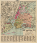
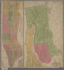
The City of New York, divided…
New York City and Vicinity.
m
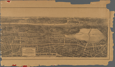
Birds eye view of that portio…
m
Map of the 23rd ward, New Yor…
Map of the City of New York :…
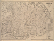
Map of the borough of Brookly…
Map of New York City
m
City of New York, map of the …
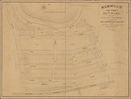
Norwood in the 24th ward of t…
Map of John W. Decker's house…
m
Map showing steam, cable, and…
m
Map or plan showing the stree…
Map showing the location of t…
Bronx plat map, Alexander to …
m
General plan, Third Avenue Br…
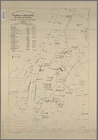
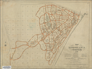
Map of the Woodlawn Cemetery
1
2
3
4
5
6
7
8
9
10
Previous
Next
1
2
3
4
5
6
7
8
9
10
Previous
Next