Click to visit the main New York Public Library Homepage
The New York Public Library
Digital Collections
About Digital Collections
Browse
Search only public domain materials
Items
Collections
Divisions
Home
Search
Browse
About
Search only public domain materials
Items
Collections
Divisions
Digital Collections
Using Images
Using Data
Search
Filtered search
Show filters
Hide filters
Show Only Public Domain
topic
Real property
979
Cities & towns
451
Fire insurance
451
Administrative and political divisions
188
Railroads
171
More
Less
name
Sanborn Map Company
451
E. Robinson Co
190
Robinson, E. (Elisha)
188
Bromley, George Washington
136
Bromley, Walter Scott
136
More
Less
collection
Atlases of New York City
916
Maps of North America
563
Atlases of the United States
393
Maps of New York City and State
272
Spezialkarte der Osterreichisch-Ungarischen Monarchie
84
More
Less
place
New York (State)
1203
New York
437
New York (N.Y.)
199
Manhattan (New York, N.Y.)
197
Brooklyn (New York, N.Y.)
139
More
Less
genre
x
Maps
Atlases
393
Topographic maps
155
Cadastral maps
98
Plans
85
More
Less
publisher
Sanborn Map Company
451
E. Robinson Co
189
G.W. Bromley & Co
135
K.u.K. Militargeographisches Institut
84
C. Wolverton
80
More
Less
division
Map Division
2255
Schomburg Jean Blackwell Hutson Research and Reference Division
15
Manuscripts and Archives Division
6
General Research Division
5
Wallach Division: Picture Collection
3
More
Less
type
cartographic
2278
still image
42
text
30
Date Range
to
2,290 results found
Filtering on:
x
Date
: 1888 - 1898
x
Genre
: Maps
Sort by:
Title
Date created
Date digitized
Sequence
Results 1251 - 1300
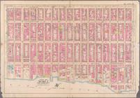
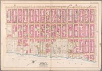
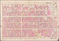
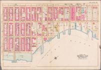
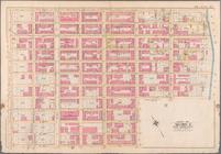
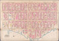
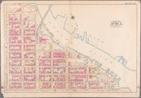
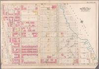
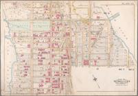
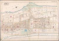
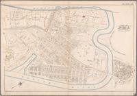
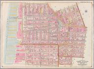
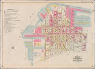
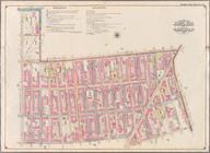
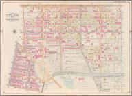
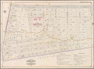
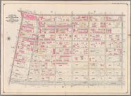
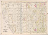
Bounded by Lexington Avenue, …
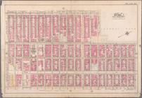
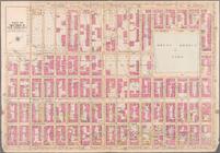
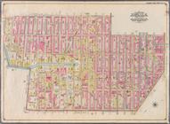
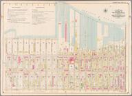
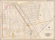
Bounded by Sixth Avenue, Cent…
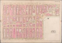
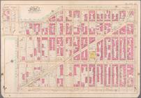
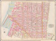
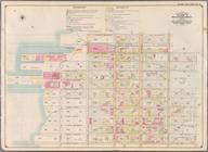
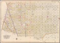
Bounded by Ninth Avenue, W. 6…
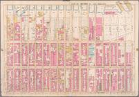
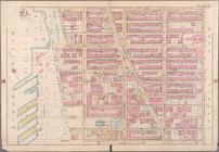
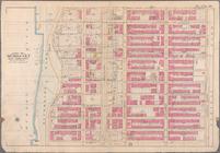
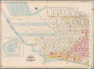
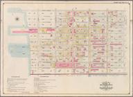
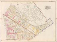
Bounded by (Hudson River) Twe…
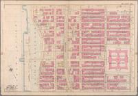
Bounded by W. 75th Street, Ce…
Bounded by W. 86th Street, Ce…
Bounded by E. 64th Street, Se…
Bounded by Fifth Avenue, E. 8…
Bounded by Second Avenue, e. …
Bounded by Fifth Avenue (Cent…
Bounded by Second Avenue, E. …
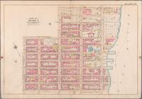
Bounded by E. 108th Street, E…
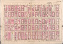
Bounded by Third Avenue, E. 1…
Bounded by Lenox Avenue, W. 1…
Bounded by Columbus Avenue, C…
Bounded by W. 97th Street, Ce…
Bounded by W. 108th Street, C…
Bounded by (Hudson River) Riv…
Bounded by Hudson River [Twel…
Bounded by W. 136th Street, F…
Bounded by E. 136th Street, H…
Bounded by W. 147th Street, H…
Bounded by W. 158th Street, K…
Bounded by Boulevard Lafayett…
Bounded by Boulevard Lafayett…
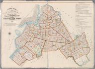
Index to Streets. Kanu Place …
Index Map to Volume One. Atla…
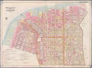
Bounded by Marshall St., Litt…
Bounded by Clark St., Fulton …
Bounded by Smith St., Bergen …
Bounded by Baltic St., Court …
Bounded by Ostego St., Dwight…
Bounded by (Buttermilk Channe…
Bounded by Second Ave., Twent…
Bounded by Thirty Seventh St.…
Bounded by Forty Ninth St., S…
Bounded by Sixth Ave., Thirty…
Bounded by Prospect Avenue, E…
Bounded by Third Street, Seve…
Bounded by Seventh Avenue, Ca…
Bounded by (Gowanus Canal) Th…
Bounded by Atlantic Avenue, F…
Bounded by Eastern Parkway, A…
Bounded by Atlantic Avenue, A…
Bounded by Albany Avenue, Atl…
Bounded by Rockaway Avenue, E…
Bounded by Williams Avenue, R…
Bounded by Evergreen Avenue, …
Bounded by Hancock Street, Br…
Bounded by Lexington Avenue, …
1
2
3
4
5
6
7
8
9
10
Previous
Next
1
2
3
4
5
6
7
8
9
10
Previous
Next