Click to visit the main New York Public Library Homepage
The New York Public Library
Digital Collections
About Digital Collections
Browse
Search only public domain materials
Items
Collections
Divisions
Home
Search
Browse
About
Search only public domain materials
Items
Collections
Divisions
Digital Collections
Using Images
Using Data
Search
Filtered search
Show filters
Hide filters
Show Only Public Domain
topic
Real property
3714
Fire insurance
1829
Cities & towns
1747
Railroads
168
Maps
142
More
Less
name
Sanborn Map Company
1840
G.W. Bromley & Co
1156
Austro-Hungarian Monarchy. Militärgeographisches Institut
760
Bromley, George Washington
749
Bromley, Walter Scott
749
More
Less
collection
Atlases of New York City
4276
Atlases of the United States
1217
Spezialkarte der Osterreichisch-Ungarischen Monarchie
760
Maps of New York City and State
665
Maps of North America
321
More
Less
place
New York (State)
4248
New York
1919
Manhattan (New York, N.Y.)
733
Brooklyn (New York, N.Y.)
683
New York (N.Y.)
654
More
Less
genre
Maps
7534
Atlases
1202
Topographic maps
909
Cadastral maps
117
Pamphlets
39
More
Less
publisher
Sanborn Map Company
1876
G.W. Bromley & Co
1059
E. Belcher Hyde
778
K.u.K. Militargeographisches Institut
760
E.B. Hyde & Co
115
More
Less
division
Map Division
7264
General Research Division
166
Schomburg Jean Blackwell Hutson Research and Reference Division
53
Manuscripts and Archives Division
51
Milstein Division
32
More
Less
type
x
cartographic
text
118
still image
37
Date Range
to
7,586 results found
Filtering on:
x
Date
: 1894 - 1922
x
Type
: cartographic
Sort by:
Title
Date created
Date digitized
Sequence
m
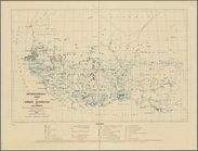
Report on the work of the com…
m
Mapah derekh emet : Mapa Dere…
m
Atlas of the illustrated buil…
m
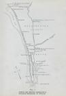
N.Y.C. & H.R.R.R. Electric Zo…
City of Erie. Pennsylvania. G…
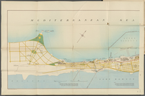
Mediterranean Sea. Lake Maryu…
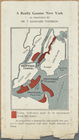
A Really Greater New York as …
An old map of Heijokyo (Heijo…
Africa as known to the Ancien…
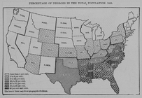
Percentage of Negroes in the …
Map of the North Atlantic Oce…
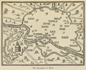
The description of Rome
m
Urbis Romae prospectus 1593
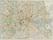
Plan of London
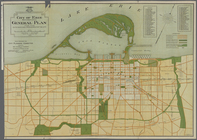
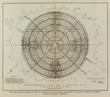
Diagrammatic plan for a moder…
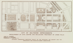
City of Baltimore improvement…
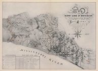
Map of the new line of defenc…
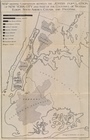
Map showing comparison betwee…
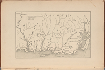
Map of Ancient Campania
m
Asia Minor and Southeastern E…
[Pequot War battle sites], fr…
Grund-Plan der Judengasse im …
m
Abbington and Fitzroy Roads
Chief Points of Interest in L…
Map of the city of Dublin and…
Plan of Cairo shewing naming …
Hand-drawn map
m
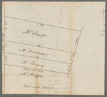
Lots on the north east side o…
Map of Clermont-Ferrand (Vill…
Substances minérales utiles d…
Map. Manhattan's Railroad ent…
Map 10 overhead foot bridges …
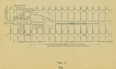
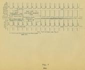
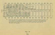
Map depot and yard (figure 5)
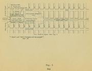
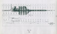
Map station and yard (figure …
Map. Manhattan's Railroad ent…
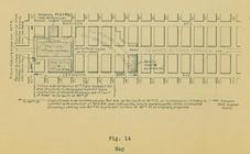
Map (figure 14)
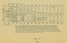
Map (figure 17)
Map (figure 19)
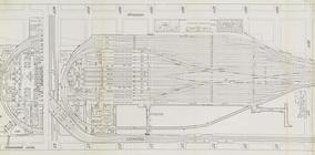
Suburban Level - 1st half.
Suburban Level - 2nd half.
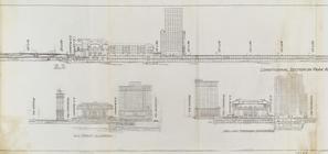
Sections and Elevations - 1st…
Express level - 1st half
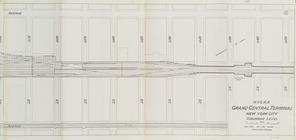
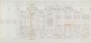
Street Level - 1st half
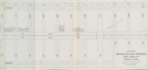
Street Level - 2nd half
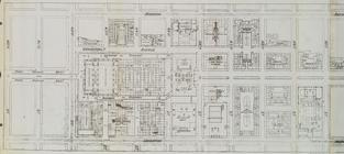
Office level left side
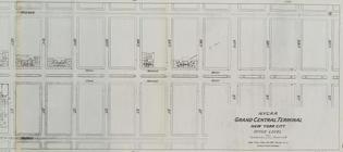
Office level right side
Map of Nice (Ville)
m
Petrovskai︠a︡ zhel. doroga : …
m
Bowery Lane
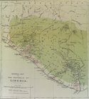
General map of the Republic o…
1
2
3
4
5
6
7
8
9
10
…
30
31
Previous
Next
1
2
3
4
5
6
7
8
9
10
…
30
31
Previous
Next