Click to visit the main New York Public Library Homepage
The New York Public Library
Digital Collections
About Digital Collections
Browse
Search only public domain materials
Items
Collections
Divisions
Home
Search
Browse
About
Search only public domain materials
Items
Collections
Divisions
Digital Collections
Using Images
Using Data
Search
Filtered search
Show filters
Hide filters
Show Only Public Domain
topic
Real property
1068
Cities & towns
446
Fire insurance
445
Libraries
419
Building construction
375
More
Less
name
Sanborn Map Company
445
New York Public Library
417
New York Public Library. Humanities and Social Sciences Library
377
Stephen A. Schwarzman Building (New York, N.Y.)
375
E. Belcher Hyde Map Company
265
More
Less
collection
Atlases of New York City
864
New York Public Library Visual Materials
414
Apartment houses of the metropolis
301
Atlases of the United States
242
Robert N. Dennis collection of stereoscopic views
183
More
Less
place
x
New York (State)
New York
1887
New York (N.Y.)
874
Brooklyn (New York, N.Y.)
325
Maps
265
More
Less
genre
Maps
1186
Photographs
1012
Postcards
293
Atlases
242
Floor plans
239
More
Less
publisher
Sanborn Map Company
445
G.C. Hesselgren Pub. Co
301
E. Belcher Hyde
269
G.W. Bromley & Co
206
Detroit Publishing Company
115
More
Less
division
Map Division
1208
NYPL Archives
414
Milstein Division
407
Wallach Division: Photography Collection
299
Wallach Division: Picture Collection
182
More
Less
type
still image
1628
cartographic
1146
text
506
Date Range
to
2,858 results found
Filtering on:
x
Date
: 1904 - 1911
x
Place
: New York (State)
x
Rights
: Public Domain
Sort by:
Title
Date created
Date digitized
Sequence
m
Map of the Cedar Knolls, at B…
m
S. Rosenbloom & Sons, shoes
m
Rosenbloom Bros. leading book…
m
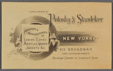
Compliments of Polosky & Staa…
m
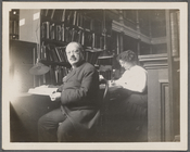
Abraham Freidus and his assis…
m
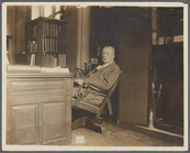
John Shaw Billings
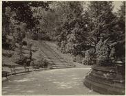
Floral steps, Prospect Park, …
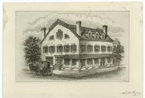
Fraunces' Tavern, N.Y.C., 1777
m
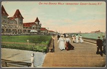
On the board walk (Brighton),…
m
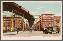
The Elevated at Eighth Avenue…
m
Map of the borough of Brookly…
m
Map of property belonging to …
Map of Brooklyn Manor
m
Map of Brooklyn
The Cord Meyer Development Co…
m
Petersen's map of Brooklyn
Williams' map of Borough of B…
Map and profile showing sourc…
Brooklyn
Rosedale Square, Rosedale : 4…
Map of Jamaica in the 4th war…
m
Flushing Bay, Long Island, N.…
Railroads in Manhattan, Jerse…
Map of property New York Dock…
Map of Kissena Park, third wa…
Railroad suburbs between Holl…
King's bird's-eye view of Bro…
East River Heights, first war…
Map of the borough of Brookly…
Map of Bellaire Estates : own…
Hollis Terrace addition no. 1…
Map of 272 lots in the 30th w…
Map of Jamaica Fells : fourth…
m
Map of the borough of Brookly…
Map of Hudson & Manhattan Rai…
Rapid transit map of Kings, Q…
Brooklyn and vicinity
m
Map of the borough of Queens,…
m
View of the city of New York …
m
Borough of Brooklyn, 5th cong…
m
King's birds-eye view of Broo…
Map of Hudson & Manhattan Rai…
Map of Bayside, third ward, b…
Topographical map showing str…
m
Eagle Almanac map of the boro…
m
New York und Umgegend
Borough Park Company
Map of Elmhurst Square : situ…
Rand McNally & Co.'s new hand…
Freight terminal map of New Y…
1
2
3
4
5
6
7
8
9
10
11
12
Previous
Next
1
2
3
4
5
6
7
8
9
10
11
12
Previous
Next