Click to visit the main New York Public Library Homepage
The New York Public Library
Digital Collections
About Digital Collections
Browse
Search only public domain materials
Items
Collections
Divisions
Home
Search
Browse
About
Search only public domain materials
Items
Collections
Divisions
Digital Collections
Using Images
Using Data
Search
Filtered search
Show filters
Hide filters
Show Only Public Domain
topic
Real property
1667
Cities & towns
848
Fire insurance
848
Libraries
431
Building construction
375
More
Less
name
Sanborn Map Company
848
New York Public Library
429
New York Public Library. Humanities and Social Sciences Library
378
Stephen A. Schwarzman Building (New York, N.Y.)
376
Ullitz, Hugo
300
More
Less
collection
Atlases of New York City
1384
New York Public Library Visual Materials
426
Atlases of the United States
354
Apartment houses of the metropolis
301
Historical postcards of New York City
200
More
Less
place
x
New York (State)
New York
2133
New York (N.Y.)
907
Maps
377
Brooklyn (New York, N.Y.)
332
More
Less
genre
Maps
1849
Photographs
1030
Atlases
354
Postcards
343
Floor plans
286
More
Less
publisher
Sanborn Map Company
847
E. Belcher Hyde
304
G.C. Hesselgren Pub. Co
301
G.W. Bromley & Co
240
Detroit Publishing Company
142
More
Less
division
Map Division
1875
Milstein Division
455
NYPL Archives
426
Wallach Division: Photography Collection
326
Wallach Division: Picture Collection
206
More
Less
type
cartographic
1812
still image
1744
text
519
Date Range
to
3,642 results found
Filtering on:
x
Date
: 1904 - 1914
x
Place
: New York (State)
x
Rights
: Public Domain
Sort by:
Title
Date created
Date digitized
Sequence
m
Map of the Cedar Knolls, at B…
m
S. Rosenbloom & Sons, shoes
m
Rosenbloom Bros. leading book…
m
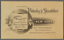
Compliments of Polosky & Staa…
m
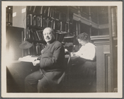
Abraham Freidus and his assis…
m
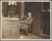
John Shaw Billings
Map of the borough of Brookly…
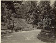
Floral steps, Prospect Park, …
Fraunces' Tavern, N.Y.C., 1777
m
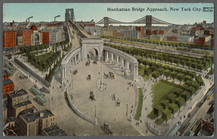
Manhattan Bridge approach, Ne…
m
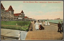
On the board walk (Brighton),…
m
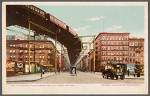
The Elevated at Eighth Avenue…
m
Map of the borough of Brookly…
m
Map of property belonging to …
Map of Brooklyn Manor
m
Map of Brooklyn
The Cord Meyer Development Co…
m
Petersen's map of Brooklyn
Williams' map of Borough of B…
Map and profile showing sourc…
Brooklyn
m
Official map covering territo…
Rosedale Square, Rosedale : 4…
Map of Jamaica in the 4th war…
m
Flushing Bay, Long Island, N.…
Railroads in Manhattan, Jerse…
Map of property New York Dock…
Carl Schurz Park
Park between 35th and 36th St…
m
Riverside Park
Map of Kissena Park, third wa…
Railroad suburbs between Holl…
King's bird's-eye view of Bro…
East River Heights, first war…
Map of the borough of Brookly…
Map of Bellaire Estates : own…
Hollis Terrace addition no. 1…
Map of New York City and the …
Map of 272 lots in the 30th w…
Panoramic view of New York Ci…
Map of Jamaica Fells : fourth…
m
Map of the borough of Brookly…
Map of Hudson & Manhattan Rai…
Rapid transit map of Kings, Q…
Colonial Park
Brooklyn and vicinity
m
Map of the borough of Queens,…
City Hall Park
m
View of the city of New York …
Map of Brooklyn
1
2
3
4
5
6
7
8
9
10
…
14
15
Previous
Next
1
2
3
4
5
6
7
8
9
10
…
14
15
Previous
Next