Click to visit the main New York Public Library Homepage
The New York Public Library
Digital Collections
About Digital Collections
Browse
Search only public domain materials
Items
Collections
Divisions
Home
Search
Browse
About
Search only public domain materials
Items
Collections
Divisions
Digital Collections
Using Images
Using Data
Search
Filtered search
Show filters
Hide filters
Show Only Public Domain
topic
Real property
107
Local transit
6
Real property auctions
6
Railroads, Elevated
5
Administrative and political divisions
4
More
Less
name
E. Belcher Hyde Map Company
98
E.B. Hyde & Co
98
Ullitz, Hugo
98
Bronx (New York, N.Y.). Topographical Bureau
43
Bauer, Jacob L
40
More
Less
collection
Atlases of New York City
359
Atlases of the United States
79
Maps of New York City and State
61
Spezialkarte der Osterreichisch-Ungarischen Monarchie
35
Liberia
9
More
Less
place
New York (N.Y.)
138
New York (State)
131
New York
130
Brooklyn (New York, N.Y.)
107
Maps
100
More
Less
genre
Maps
550
Topographic maps
127
Atlases
79
Pamphlets
6
Indexes
5
More
Less
publisher
Sanborn Map Company
128
E. Belcher Hyde
100
Topographical Bureau
44
E. Robinson & Co
40
A.H. Mueller
38
More
Less
division
Map Division
535
Schomburg Jean Blackwell Hutson Research and Reference Division
12
General Research Division
7
Manuscripts and Archives Division
4
Dorot Jewish Division
1
type
x
cartographic
text
14
still image
1
Date Range
to
559 results found
Filtering on:
x
Date
: 1905 - 1906
x
Type
: cartographic
Sort by:
Title
Date created
Date digitized
Sequence
m
Report on the work of the com…
m
Map of property belonging to …
Map of Brooklyn Manor
Map and profile showing sourc…
Brooklyn
Rosedale Square, Rosedale : 4…
Hollis Terrace addition no. 1…
Map of 272 lots in the 30th w…
Map of Jamaica Fells : fourth…
m
Map of the borough of Brookly…
Rapid transit map of Kings, Q…
Brooklyn and vicinity
m
Map of the borough of Queens,…
m
King's birds-eye view of Broo…
Topographical map showing str…
Map of Elmhurst Square : situ…
The Merchants' Association's …
m
Map of the underground railwa…
m
N.Y.C. & H.R.R.R. Electric Zo…
Plan for preservation of Audu…
Registration of voters under …
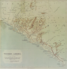
Sketch map of West Africa : s…
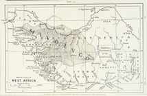
General map of the Republic o…
Sketch map of West Africa
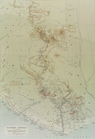
Map of the Sierra Leone - Lib…
Western Liberia
Eastern Liberia
Sketch map fo West Africa.
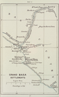
Grand Basa settlements
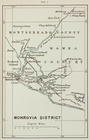
Monrovia district
Map of the town of Roxbury
m
Cameron, Agnes Deans
m
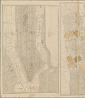
1906 Library map of Manhattan…
m
[Map of the Bronx] complement…
m
Transportation map of Brookly…
m
Map or plan of the Borough of…
[Topographical map of the wes…
The Bronx - a city in itself …
Map showing public parks in t…
Map of the Bronx. [including …
City of New York, Borough of …
m
New York: south part of the B…
m
Property identification map o…
m
The United Electric Light and…
m
City of New York, boroughs of…
m
Map of northern part of New Y…
Map showing the 19th Assembly…
Map of the Borough of Richmon…
Outline map of New York Harbo…
m
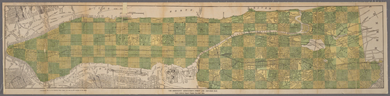
1905 Library map of Manhattan…
1
2
3
Previous
Next
1
2
3
Previous
Next