Click to visit the main New York Public Library Homepage
The New York Public Library
Digital Collections
About Digital Collections
Browse
Search only public domain materials
Items
Collections
Divisions
Home
Search
Browse
About
Search only public domain materials
Items
Collections
Divisions
Digital Collections
Using Images
Using Data
Search
Filtered search
Show filters
Hide filters
Show Only Public Domain
topic
Real property
1034
Zoning
110
Railroads
20
Exhibitions
18
Railroads, Elevated
14
More
Less
name
G.W. Bromley & Co
983
Bromley, George Washington
91
Bromley, Walter Scott
91
E.B. Hyde & Co
44
E. Belcher Hyde Map Company
40
More
Less
collection
Atlases of New York City
1141
Maps of New York City and State
46
New York World's Fair 1939 and 1940 Incorporated records
18
Robert Moses papers
4
William J. Wilgus papers
2
More
Less
place
x
New York
New York (State)
1213
Manhattan (New York, N.Y.)
910
New York (N.Y.)
105
Bronx (New York, N.Y.)
88
More
Less
genre
Maps
1187
Index maps
21
Indexes
20
Plans
18
Title pages
4
More
Less
publisher
G.W. Bromley & Co
983
New York (N.Y.). Board of Estimate and Apportionment
74
E. Belcher Hyde
43
Board of Estimate and Apportionment
36
The Company
8
More
Less
division
Map Division
1187
Manuscripts and Archives Division
25
Milstein Division
1
type
x
cartographic
text
36
still image
2
Date Range
to
1,213 results found
Filtering on:
x
Date
: 1920 - 2000
x
Place
: New York
x
Type
: cartographic
Sort by:
Title
Date created
Date digitized
Sequence
Results 251 - 300
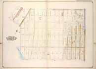
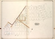
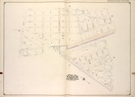
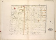
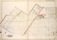
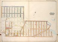
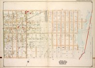
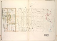
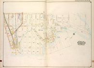
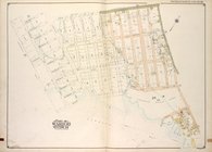
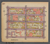
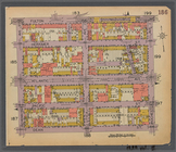
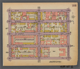
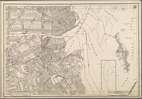
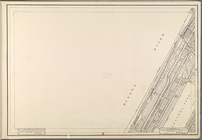
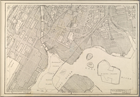
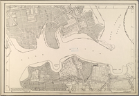
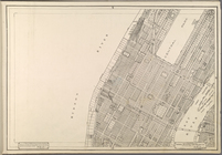
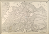
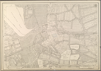
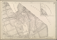
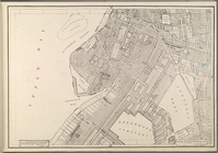
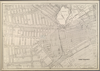
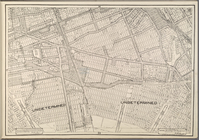
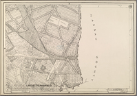
Brooklyn, Vol. 3, Double Page…
Brooklyn, Vol. 3, Double Page…
Brooklyn, Vol. 3, Double Page…
Brooklyn, Vol. 3, Double Page…
Brooklyn, Vol. 3, Double Page…
Brooklyn, Vol. 3, Double Page…
Brooklyn, Vol. 3, Double Page…
Brooklyn, Vol. 3, Double Page…
Brooklyn, Vol. 3, Double Page…
Brooklyn, Vol. 3, Double Page…
Brooklyn, Vol. 3, Double Page…
Brooklyn, Vol. 3, Double Page…
Brooklyn, Vol. 3, Double Page…
Brooklyn, Vol. 3, Double Page…
Brooklyn, Vol. 3, Double Page…
Brooklyn, Vol. 3, Double Page…
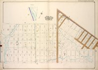
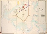
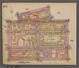
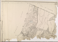
Map bounded by Pacific St., S…
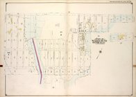
Map bounded by Fulton St., Ro…
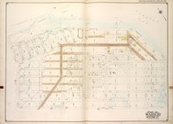
Map bounded by Dean St., Roch…
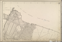
[Map bounded by 150th Ave., C…
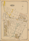
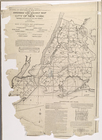
Index map to volume one. Atla…
[Map bounded by Crescent St.,…
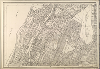
Map bounded by Bainbridge St.…
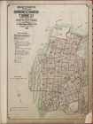
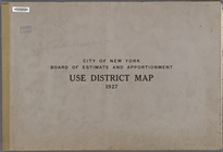
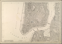
City of New York. Board of Es…
City of New York. Board of Es…
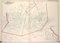
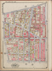
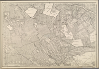
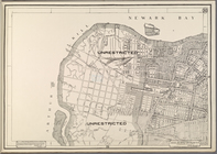
Use District Map Section No. 1
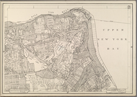
Use District Map Section No. 2
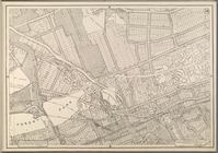
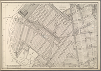
Use District Map Section No. 3
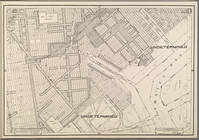
Use District Map Section No. 4
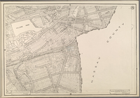
Use District Map Section No. 5
Use District Map Section No. 6
Use District Map Section No. 7
Use District Map Section No. 8
Use District Map Section No. 9
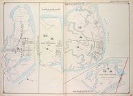
Use District Map Section No. …
Use District Map Section No. …
Use District Map Section No. …
Use District Map Section No. …
Use District Map Section No. …
Use District Map Section No. …
Use District Map Section No. …
Use District Map Section No. …
Use District Map Section No. …
Use District Map Section No. …
Use District Map Section No. …
Use District Map Section No. …
Use District Map Section No. …
Use District Map Section No. …
Use District Map Section No. …
Use District Map Section No. …
1
2
3
4
5
Previous
Next
1
2
3
4
5
Previous
Next