Click to visit the main New York Public Library Homepage
The New York Public Library
Digital Collections
About Digital Collections
Browse
Search only public domain materials
Items
Collections
Divisions
Home
Search
Browse
About
Search only public domain materials
Items
Collections
Divisions
Digital Collections
Using Images
Using Data
Search
Filtered search
Show filters
Hide filters
Show Only Public Domain
topic
City planning
1062
Social conditions
942
Real property
797
Maps
227
Administrative and political divisions
118
More
Less
name
New York (N.Y.). City Planning Commission
978
M.I.T. Press
942
G.W. Bromley & Co
697
New York (N.Y.). Board of Estimate and Apportionment
221
Bromley, George Washington
220
More
Less
collection
Atlases of New York City
2523
Maps of New York City and State
607
Atlases of the United States
107
Lawrence H. Slaughter Collection of English maps, charts, globes, books and atlases
36
Maps of North America
10
More
Less
place
x
New York (N.Y.)
New York (State)
2132
New York
1458
Manhattan (New York, N.Y.)
675
Bronx (New York, N.Y.)
370
More
Less
genre
x
Maps
Atlases
107
Cadastral maps
76
Manuscript maps
36
Topographic maps
22
More
Less
publisher
MIT Press
942
G.W. Bromley & Co
645
E. Robinson Co
217
Sanborn Map Company
128
M.B. Brown Printing & Binding Co.,
108
More
Less
division
x
Map Division
type
cartographic
2342
still image
953
text
56
Date Range
to
3,293 results found
Filtering on:
x
Division
: Map Division
x
Genre
: Maps
x
Place
: New York (N.Y.)
Sort by:
Title
Date created
Date digitized
Sequence
A chart of Delaware Bay and R…
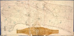
Index to 300 ft. scale lithog…
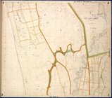
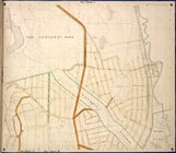
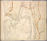
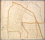
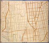
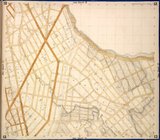
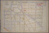
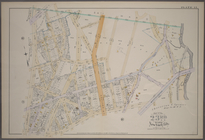
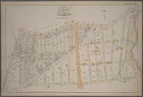
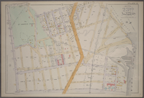
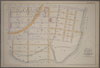
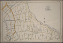
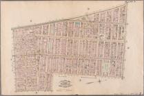
Bronx, Topographical Map Shee…
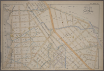
Bronx, Topographical Map Shee…
Bronx, Topographical Map Shee…
Bronx, Topographical Map Shee…
Bronx, Topographical Map Shee…
Bronx, Topographical Map Shee…
Bronx, Topographical Map Shee…
Bronx, Topographical Map Shee…
Bronx, Topographical Map Shee…
Bronx, Topographical Map Shee…
Bronx, Topographical Map Shee…
Bronx, Topographical Map Shee…
Bronx, Topographical Map Shee…
Bronx, Topographical Map Shee…
Bronx, Topographical Map Shee…
m
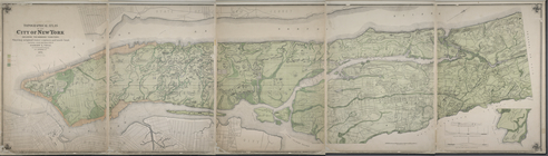
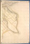
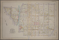
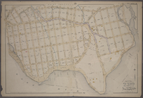
Topographical atlas of the ci…
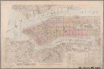
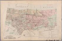
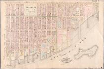
Outline and Index Map of the …
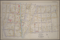
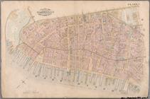
Plate 1: [Bounded by E. 137th…
Plate 2: [Bounded by E. 144th…
Plate 3: [Bounded by River Av…
Plate 4: [Bounded by Cromwell…
Plate 5: [Bounded by E. 154th…
Plate 6: [Bounded by E. 162nd…
Plate 7: [Bounded by St. Anns…
Plate 8: [Bounded by E. 164th…
Plate 9: [Bounded by E. 168th…
Plate 10: [Bounded by E. 170t…
Plate 11: [Bounded by E. 161s…
Plate 12: [Bounded by Devoe S…
Plate 13: [Bounded by Depot P…
Plate 14: [Bounded by Sherida…
Plate 15: [Bounded by Boston …
Plate 16: [Bounded by E. 167t…
Plate 17: [Bounded by E. 149t…
Plate 18: [Bounded by E. 138t…
Plate 20: [Bounded by Dongan …
Plate 19: [Bounded by Bungay …
Plate 21: [Bounded by Winslow…
Outline & Index Map of New Yo…
Outline & Index Map of New Yo…
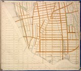
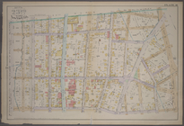
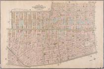
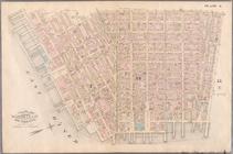
Plate 1: Bounded by Battery P…
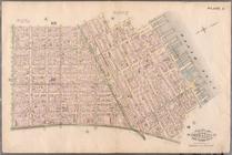
Plate 2: Bounded by West Stre…
Plate 3: Bounded by West Stre…
Plate 4: West Broadway, Canal…
Plate 5: Bounded by Clinton S…
Plate 6: Bounded by Rutgers S…
Plate 7: Bounded by Avenue A,…
Plate 8: Bounded by Bowery, F…
1
2
3
4
5
6
7
8
9
10
…
13
14
Previous
Next
1
2
3
4
5
6
7
8
9
10
…
13
14
Previous
Next