Click to visit the main New York Public Library Homepage
The New York Public Library
Digital Collections
About Digital Collections
Browse
Search only public domain materials
Items
Collections
Divisions
Home
Search
Browse
About
Search only public domain materials
Items
Collections
Divisions
Digital Collections
Using Images
Using Data
Search
Filtered search
Show filters
Hide filters
Show Only Public Domain
topic
Canals
3
Railroads
3
New England
2
Real property
2
Indian reservations
1
name
Barker, W. (William), active 1795-1803
2
Burr, David H., 1803-1875
2
Carey, Mathew, 1760-1839
2
De Witt, Simeon, 1756-1834
2
Rawdon, Clark & Co
2
More
Less
collection
Maps of New York City and State
7
Lawrence H. Slaughter Collection of English maps, charts, globes, books and atlases
4
Atlases of the United States
3
Maps of North America
1
place
x
New York (State) -- Maps
New York (State)
8
New York (State) -- Administrative and political divisions -- Maps
5
New York (N.Y.)
4
Erie Canal (N.Y.) -- Altitudes -- Charts, diagrams, etc
3
More
Less
genre
Maps
15
Atlases
2
publisher
A. Lay?
1
D. H. Vance,
1
D. Steele
1
H. C. Southwick
1
Holland Land Company?],
1
More
Less
division
x
Map Division
type
cartographic
15
Date Range
to
15 results found
Filtering on:
x
Division
: Map Division
x
Place
: New York (State) -- Maps
Sort by:
Title
Date created
Date digitized
Sequence
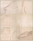
State of New-York for Spaffor…
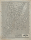
City of New York, 1843.
The state of New York : compi…
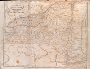
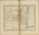
New York
The tourist's map of the stat…
m
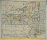
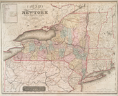
Map of the state of New York
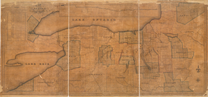
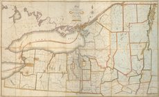
Map of the northern part of t…
m
Map of the western part of th…
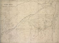
Survey of the several routes …
Map of part of New York State…
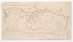
Western New York in 1809
New-York, N. Jersey and Penns…
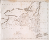
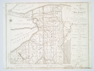
Map of Morris's Purchase or W…
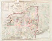
Map of the state of New-York …
Map of the state of New-York …
End of results
|
Top