Click to visit the main New York Public Library Homepage
The New York Public Library
Digital Collections
About Digital Collections
Browse
Search only public domain materials
Items
Collections
Divisions
Home
Search
Browse
About
Search only public domain materials
Items
Collections
Divisions
Digital Collections
Using Images
Using Data
Search
Filtered keyword search
Show filters
Hide filters
Show Only Public Domain
topic
Real property
2177
Maps
275
Administrative and political divisions
2
Landowners
1
Railroads
1
More
Less
name
x
G.W. Bromley & Co
Bromley, George Washington
785
Bromley, Walter Scott
784
Smith & Stroup (Firm)
1
Welcke, Robert A
1
collection
Atlases of New York City
2460
Atlases of the United States
89
Maps of New York City and State
1
Maps of North America
1
place
New York (State)
2180
New York
1701
Manhattan (New York, N.Y.)
1672
New York (N.Y.)
723
Bronx (New York, N.Y.)
476
More
Less
genre
Maps
2475
Indexes
94
Atlases
89
Cadastral maps
52
Index maps
49
More
Less
publisher
G.W. Bromley & Co
2368
G. W. Bromley & E. Robinson
80
G. W. Bromley & Co
52
G.W. Bromley
49
Geo. W. Bromley & Co
1
More
Less
division
x
Map Division
type
cartographic
2471
text
133
still image
4
Date Range
to
2,551 results found for:
x
map
Filtering on:
x
Division
: Map Division
x
Name
: G.W. Bromley & Co.
Sort by:
Relevance
Title
Date created
Date digitized
Sequence
Results 1751 - 1800
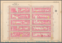
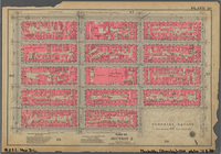
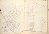
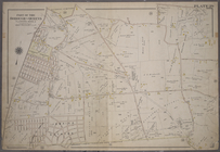
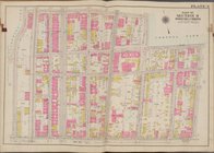
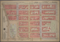
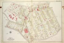
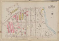
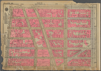
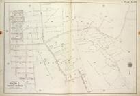
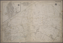
Plate 29, Part of Section 2: …
Plate 29, Part of Section 2: …
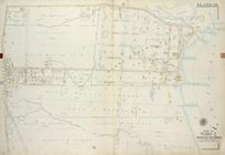
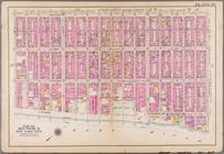
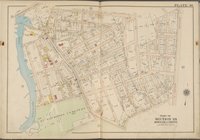
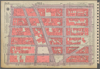
Plate 29, Part of Section 4: …
m
Plate 29, Part of Section 4: …
note:
Maps
partially
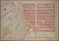
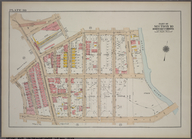
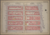
Plate 29, Part of Section 5: …
Plate 29, Part of Section 5: …
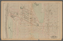
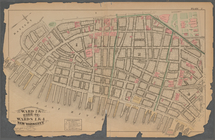
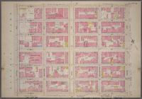
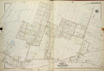
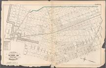
Plate 29, Part of Ward 2 [
Map
bound
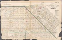
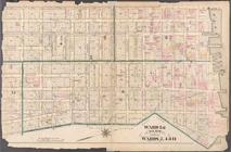
Plate 29, Part of Ward 5 [
Map
bound
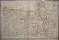
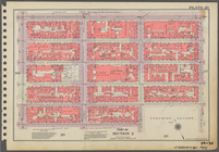
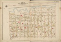
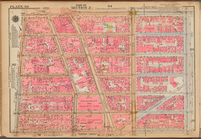
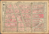
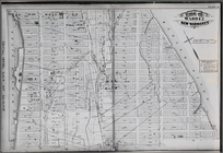
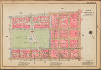
Plate 29:: [Bounded by W. 133…
Plate 29: Bounded by Flushing…
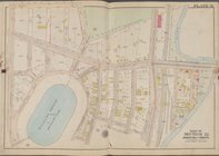
Plate 29: Bounded by Fresh Me…
Plate 29: Bounded by Second A…
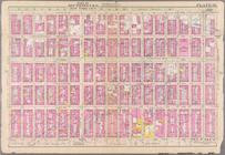
Plate 2:: [Bounded by Broadwa…
m
Plate 2: Bounded by (East Riv…
Plate 2: Bounded by Adams Str…
Plate 2: Bounded by Jay Stree…
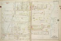
Plate 2: Part of Section 9, B…
note:
Includes 37 pages of text and 19
maps
.
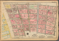
Plate 3: [Bounded by Vesey St…
Plate 3 [
Map
bounded by E. 135th St
Plate 3 [
Map
bounded by E. 171st St
Plate 3 [
Map
bounded by Webster Ave., E
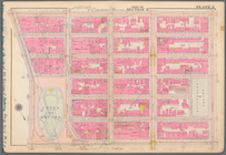
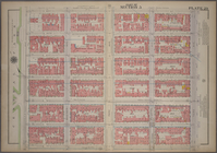
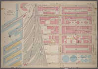
Plate 3, Part of Section 1: […
Plate 3, Part of Section 1: […
Plate 3, Part of Section 3: […
m
Plate 3, Part of Section 3: […
note:
Maps
partially
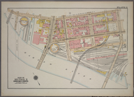
Plate 3, Part of Section 4: […
Plate 3, Part of Section 4: […
Plate 3, Part of Section 9, B…
Plate 3, Part of Ward 1 [
Map
bound
Plate 3, Part of Ward 4 [
Map
bound
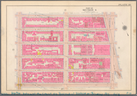
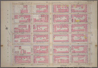
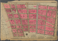
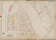
Plate 30: [Bounded by E. 14th…
Plate 30 [
Map
bounded by E. 208th St
Plate 30 [
Map
bounded by Garrison Ave
Plate 30 [
Map
bounded by Zulette Ave
Plate 30, Part of Section 10,…
Plate 30, Part of Section 2: …
Plate 30, Part of Section 2: …
Plate 30, Part of Section 2: …
Plate 30, Part of Section 4: …
m
Plate 30, Part of Section 4: …
note:
Maps
partially
Plate 30, Part of Section 5: …
Plate 30, Part of Section 5: …
Plate 30, Part of Ward 2 [
Map
bound
Plate 30, Part of Ward 5 [
Map
bound
Plate 30:: [Bounded by W. 152…
note:
Photocopy reproduction of original
map
Plate 30: Bounded by Fifth Av…
Plate 30: Bounded by Nassau R…
Plate 30: Bounded by Seneca A…
Plate 31: [Bounded by W. 8th …
Plate 31 [
Map
bounded by E. 211th St
1
2
3
4
5
6
7
8
9
10
11
Previous
Next
1
2
3
4
5
6
7
8
9
10
11
Previous
Next