Click to visit the main New York Public Library Homepage
The New York Public Library
Digital Collections
About Digital Collections
Browse
Search only public domain materials
Items
Collections
Divisions
Home
Search
Browse
About
Search only public domain materials
Items
Collections
Divisions
Digital Collections
Using Images
Using Data
Search
Filtered keyword search
Show filters
Hide filters
Show Only Public Domain
topic
Real property
2177
Maps
275
Administrative and political divisions
2
Landowners
1
Railroads
1
More
Less
name
x
G.W. Bromley & Co
Bromley, George Washington
785
Bromley, Walter Scott
784
Smith & Stroup (Firm)
1
Welcke, Robert A
1
collection
Atlases of New York City
2460
Atlases of the United States
89
Maps of New York City and State
1
Maps of North America
1
place
New York (State)
2180
New York
1701
Manhattan (New York, N.Y.)
1672
New York (N.Y.)
723
Bronx (New York, N.Y.)
476
More
Less
genre
Maps
2475
Indexes
94
Atlases
89
Cadastral maps
52
Index maps
49
More
Less
publisher
G.W. Bromley & Co
2368
G. W. Bromley & E. Robinson
80
G. W. Bromley & Co
52
G.W. Bromley
49
Geo. W. Bromley & Co
1
More
Less
division
x
Map Division
type
cartographic
2471
text
133
still image
4
Date Range
to
2,551 results found for:
x
map
Filtering on:
x
Division
: Map Division
x
Name
: G.W. Bromley & Co.
Sort by:
Relevance
Title
Date created
Date digitized
Sequence
Results 2001 - 2050
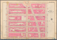
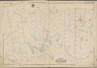
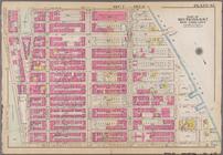
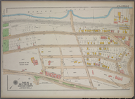
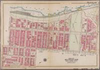
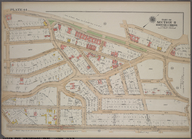
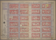
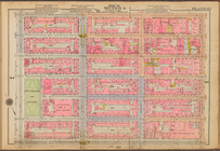
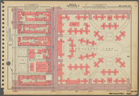
Plate 41: Bounded by Bergen L…
Plate 41: Bounded by E. 136th…
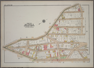
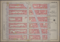
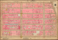
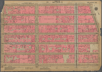
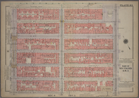
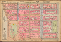
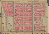
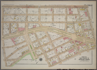
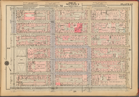
Plate 42: [Bounded by W. 20th…
Plate 42 [
Map
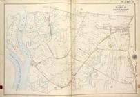
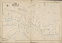
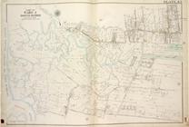
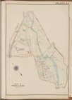
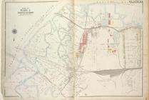
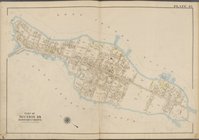
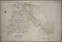
bounded by City of Yonkers
Plate 42 [
Map
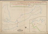
bounded by Fort Schuyler
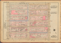
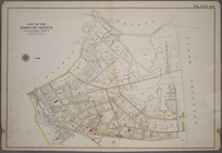
Plate 42, Part of Section 11,…
Plate 42, Part of Section 3: …
Plate 42, Part of Section 3: …
Plate 42, Part of Section 3: …
Plate 42, Part of Section 4: …
m
Plate 42, Part of Section 4: …
note:
Maps
partially
Plate 42, Part of Ward 3 [
Map
bound
Plate 42, Part of Ward 5 [
Map
bound
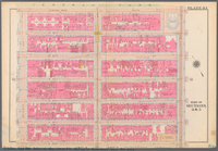
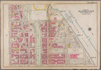
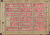
Plate 42: Bounded by Central …
Plate 42: Bounded by W. 147th…
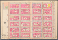
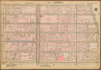
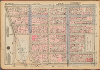
Plate 43: [Bounded by W. 20th…
Plate 43 [
Map
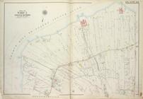
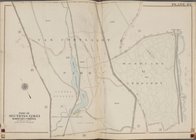
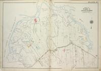
bounded by Parsons Ave
Plate 43 [
Map
bounded by Van Cortlandt
Plate 43, Part of Section 11,…
Plate 43, Part of Section 3: …
Plate 43, Part of Section 3: …
Plate 43, Part of Section 3: …
Plate 43, Part of Sections 4&…
m
Plate 43, Part of Sections 4&…
note:
Maps
partially
Plate 43, Part of Ward 3 [
Map
bound
Plate 43, Part of Ward 5 [
Map
bound
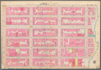
Plate 43: Bounded by Farmers …
Plate 43: Bounded by Hudson R…
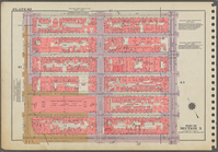
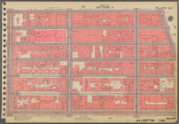
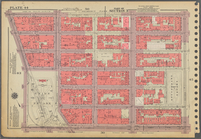
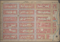
Plate 44: [Bounded by E. 20th…
Plate 44 [
Map
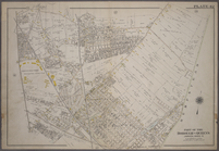
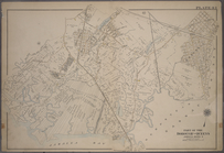
bounded by Bronx Blvd
Plate 44 [
Map
bounded by Long Island
Plate 44, Part of Section 11,…
Plate 44, Part of Section 3: …
Plate 44, Part of Section 3: …
Plate 44, Part of Section 3: …
Plate 44, Part of Section 5: …
m
Plate 44, Part of Section 5: …
note:
Maps
partially
Plate 44, Part of Ward 3 [
Map
bound
Plate 44: Bounded by (Baniste…
Plate 44: Bounded by W. 158th…
Plate 45: [Bounded by E. 20th…
Plate 45 [
Map
bounded by Long Island
Plate 45, Part of Section 11,…
Plate 45, Part of Section 3: …
Plate 45, Part of Section 3: …
Plate 45, Part of Section 3: …
m
Plate 45, Part of Section 5: …
note:
Maps
partially
Plate 45, Part of Section 5: …
Plate 45: Bounded by Horton P…
Plate 45: Bounded by W. 170th…
1
2
3
4
5
6
7
8
9
10
11
Previous
Next
1
2
3
4
5
6
7
8
9
10
11
Previous
Next