Click to visit the main New York Public Library Homepage
The New York Public Library
Digital Collections
About Digital Collections
Browse
Search only public domain materials
Items
Collections
Divisions
Home
Search
Browse
About
Search only public domain materials
Items
Collections
Divisions
Digital Collections
Using Images
Using Data
Search
Filtered keyword search
Show filters
Hide filters
Show Only Public Domain
topic
Real property
468
Maps
87
Administrative and political divisions
1
name
x
Bromley, George Washington
Bromley, Walter Scott
856
G.W. Bromley & Co
785
Boston (Mass.)
1
Geo. H. Walker & Co
1
collection
Atlases of New York City
787
Atlases of the United States
69
Maps of North America
1
place
New York
468
New York (State)
468
Manhattan (New York, N.Y.)
405
New York (N.Y.)
230
Bronx (New York, N.Y.)
202
More
Less
genre
Maps
830
Atlases
69
Indexes
61
Index maps
16
Title pages
13
More
Less
publisher
G.W. Bromley & Co
738
G.W. Bromley and Co.,
69
G.W. Bromley
49
publisher not identified
1
division
x
Map Division
type
cartographic
797
text
75
still image
3
Date Range
to
857 results found for:
x
map
Filtering on:
x
Division
: Map Division
x
Name
: Bromley, George Washington
Sort by:
Relevance
Title
Date created
Date digitized
Sequence
Results 251 - 300
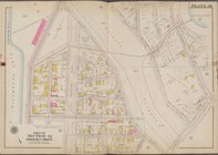
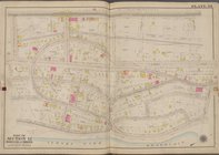
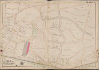
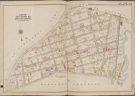
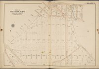
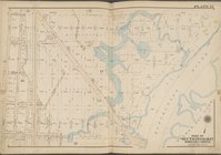
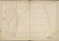
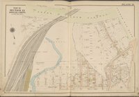
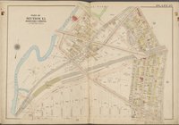
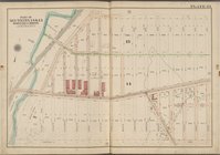
Plate 30 [
Map
bounded by E. 208th St
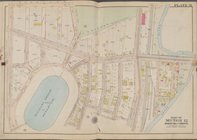
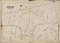
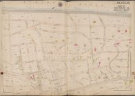
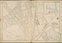
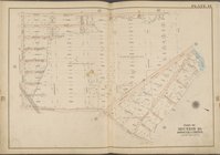
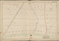
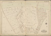
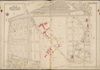
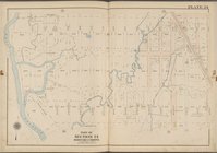
Plate 31 [
Map
bounded by E. 211th St
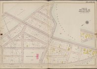
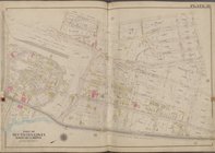
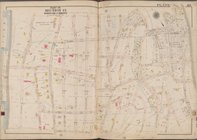
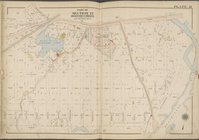
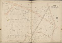
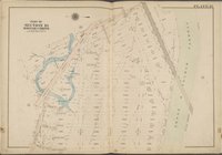
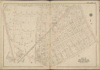
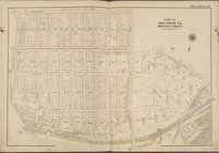
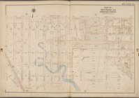
Plate 32 [
Map
bounded by Mosholu Parkway
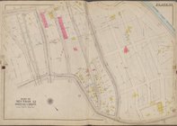
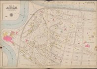
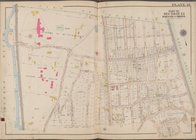
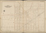
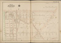
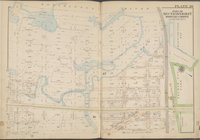
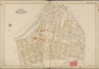
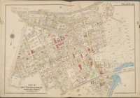
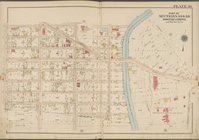
Plate 33 [
Map
bounded by W. 230th St
Plate 34 [
Map
bounded by Broadway, W
Plate 35 [
Map
bounded by Van Cortuandt
Plate 36 [
Map
bounded by Netherland Ave
Plate 37 [
Map
bounded by Hudson River, W
Plate 38 [
Map
bounded by Riverdale Ave
Plate 39 [
Map
bounded by Hudson River, W
Plate 40 [
Map
bounded by Mosholu Ave
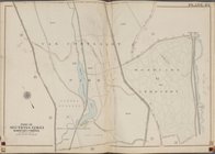
Plate 41 [
Map
bounded by City of Yonkers
Plate 42 [
Map
bounded by City of Yonkers
Plate 43 [
Map
bounded by Van Cortlandt
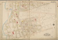
Plate 1 [
Map
bounded by E. 213th St
Plate 3 [
Map
bounded by Webster Ave., E
Plate 4 [
Map
bounded by Barnes Ave., E
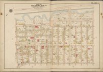
Plate 5 [
Map
bounded by Bronx River
Plate 6 [
Map
bounded by Bronx River
Plate 7 [
Map
bounded by Penfield St
Plate 8 [
Map
bounded by Pitman Ave
Plate 9 [
Map
bounded by Strang Ave
Plate 10 [
Map
bounded by Dark St
Plate 11 [
Map
bounded by Boston Rd
Plate 12 [
Map
bounded by Needham Ave
Plate 13 [
Map
bounded by Burke Ave
Plate 14 [
Map
bounded by Grace Ave
Plate 15 [
Map
bounded by Gunn Hill Rd
Plate 16 [
Map
bounded by Burke Ave
Plate 17 [
Map
bounded by Allerton Ave
Plate 18 [
Map
bounded by Allerton Ave
Plate 19 [
Map
bounded by Grace Ave
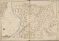
Plate 20 [
Map
bounded by Hutchinson
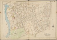
Plate 21 [
Map
bounded by Bronx & Pelham
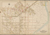
Plate 22 [
Map
bounded by Bronx & Pelham
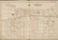
Plate 23 [
Map
bounded by Bronx & Pelham
Plate 24 [
Map
bounded by Bear Swamp Rd
Plate 25 [
Map
bounded by E. 180th St
Plate 26 [
Map
bounded by West Farms Rd
Plate 27 [
Map
bounded by Rhinelander Ave
Plate 28 [
Map
bounded by Sacket Ave
Plate 29 [
Map
bounded by Morris Park Ave
Plate 30 [
Map
bounded by Zulette Ave
Plate 31 [
Map
bounded by Zerega Ave
Plate 32 [
Map
bounded by E. 174th St
Plate 33 [
Map
bounded by E. 174th St
Plate 34 [
Map
bounded by Watson Ave
Plate 35 [
Map
bounded by Watson Ave
Plate 36 [
Map
bounded by Watson Ave
Plate 37 [
Map
bounded by Whittemore Ave
1
2
3
4
Previous
Next
1
2
3
4
Previous
Next