Click to visit the main New York Public Library Homepage
The New York Public Library
Digital Collections
About Digital Collections
Browse
Search only public domain materials
Items
Collections
Divisions
Home
Search
Browse
About
Search only public domain materials
Items
Collections
Divisions
Digital Collections
Using Images
Using Data
Search
Filtered keyword search
Show filters
Hide filters
Show Only Public Domain
topic
Real property
2975
Fire insurance
212
Railroads
154
Landowners
130
Zoning
118
More
Less
name
G.W. Bromley & Co
1701
Ullitz, Hugo
735
E.B. Hyde & Co
544
E. Belcher Hyde Map Company
488
Bromley, George Washington
468
More
Less
collection
Atlases of New York City
3179
Maps of New York City and State
553
Collection of broadside real estate maps announcing auctions of lots in early 19th century New York City
67
Maps of North America
5
Atlases, gazetteers, guidebooks and other books
2
More
Less
place
x
New York
New York (State)
3805
Manhattan (New York, N.Y.)
1816
Brooklyn (New York, N.Y.)
969
New York (N.Y.)
525
More
Less
genre
Maps
3686
Indexes
112
Cadastral maps
102
Title pages
57
Index maps
49
More
Less
publisher
G.W. Bromley & Co
1573
E. Belcher Hyde
557
E. Robinson Co
209
E.B. Hyde & Co
118
G.M. Hopkins & Co
108
More
Less
division
x
Map Division
type
cartographic
3688
text
228
still image
8
Date Range
to
Looking for this collection?
Maps of New York City and State
2,059 items
3,808 results found for:
x
map
Filtering on:
x
Division
: Map Division
x
Place
: New York
x
Rights
: Public Domain
Sort by:
Relevance
Title
Date created
Date digitized
Sequence
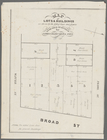
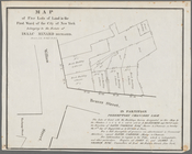
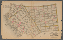
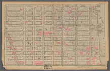
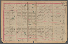
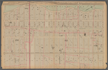
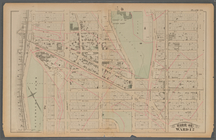
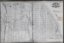
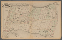
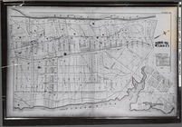
Map
of lots & buildings as shewn
Plate 17:
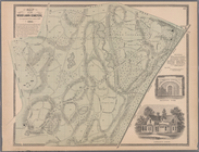
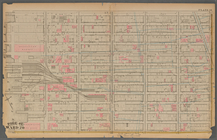
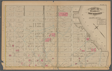
Map
of the Woodlawn Cemetery
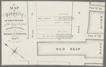
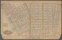
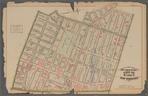
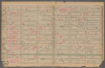
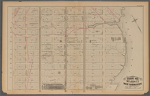
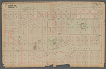
Map
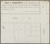
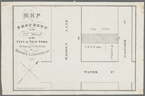
of property in the 1st ward of the city
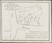
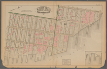
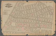
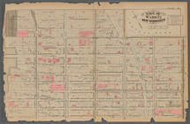
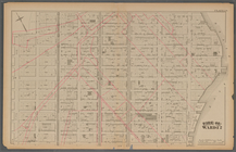
Map
of three lots of land in the first ward
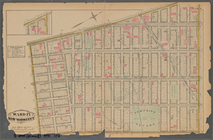
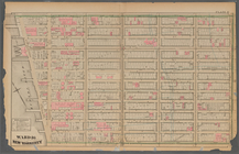
Map
of property in the 1st ward of the city
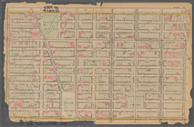
Map
of five lots of land in the first ward
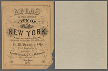
Atlas of the entire city of N…
m
Outline & Index
Map
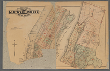
of New York City, New
Plate 1:: [Bounded by (Hudson…
Plate 2:: [Bounded by Broadwa…
Plate 3:: [Bounded by (Hudson…
Plate 4:: [Bounded by West Br…
Plate 5:: [Bounded by Bowery,…
Plate 6:: [Bounded by Rutgers…
Plate 7:: [Bounded by Avenue …
Plate 8:: [Bounded by Bowery,…
Plate 9:: [Bounded by Hancock…
Plate 10:: [Bounded by Waverl…
Plate 11:: [Bounded by W. 26t…
Plate 12:: [Bounded by W. 26t…
Plate 13:: [Bounded by W. 38t…
Plate 14:: [Bounded by W. 38t…
Plate 15:: [Bounded by W. 50…
Plate 16:: [Bounded by W. 62n…
Plate 17:: Bounded by (Hudson…
Plate 18:: [Bounded by W. 50t…
Plate 19:: [Bounded by W. 59t…
Plate 20:: [Bounded by E. 74t…
Plate 21: : [Bounded by E. 86…
Plate 22:: [Bounded by E. 98t…
Plate 23:: [Bounded by E. 110…
Plate 24:: [Bounded by E. 120…
Plate 25: : [Bounded by Twelf…
Plate 26:: [Bounded by (River…
Plate 27:: [Left side bounded…
note:
Damaged. Right half of
map
missing.
Plate 28:: [Bounded by W. 133…
Plate 29:: [Bounded by W. 133…
Plate 30:: [Bounded by W. 152…
note:
Photocopy reproduction of original
map
Plate 31:: [Bounded by Hudson…
Plate 32:: [Bounded by (Hudso…
note:
Photocopy reproduction of original
map
Plate 33:: [Bounded by Hudson…
Plate 34:: [Bounded by 156th …
Plate 35:: [Bounded by Gouver…
Plate 36:: [Bounded by (Bronx…
Plate 37:: [Bounded by New Yo…
Plate 38:: [Bounded by (Harle…
Plate 39:: [Bounded by Gun Hi…
Plate 40:: [Bounded by City o…
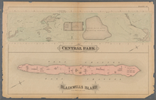
Plate 41:: [Central Park boun…
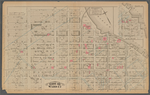
Map
of property in the 2nd ward of the city
1
2
3
4
5
6
7
8
9
10
…
15
16
Previous
Next
1
2
3
4
5
6
7
8
9
10
…
15
16
Previous
Next