Click to visit the main New York Public Library Homepage
The New York Public Library
Digital Collections
About Digital Collections
Browse
Search only public domain materials
Items
Collections
Divisions
Home
Search
Browse
About
Search only public domain materials
Items
Collections
Divisions
Digital Collections
Using Images
Using Data
Search
Filtered keyword search
Show filters
Hide filters
Show Only Public Domain
topic
Real property
1830
Business enterprises
467
Description and travel
157
History
90
Fire insurance
86
More
Less
name
Beers, F. W. (Frederick W.)
435
G.M. Hopkins & Co
286
Everts, Ensign & Everts
231
Hyde, E. Belcher
175
Beers, D. G. (Daniel G.)
172
More
Less
collection
x
Atlases of the United States
place
New York (State)
2037
New Jersey
299
Erie County (N.Y.)
197
Suffolk County (N.Y.)
181
Jersey City (N.J.)
178
More
Less
genre
Atlases
3755
Maps
3652
Plans
84
Prints
71
Surveys
44
More
Less
publisher
F. W. Beers & Co
148
A.H. Mueller
133
G.M. Hopkins
127
E. Belcher Hyde
118
E. Belcher-Hyde
112
More
Less
division
x
Map Division
type
cartographic
3720
text
139
still image
8
Date Range
to
Looking for this collection?
Atlases of the United States
3,868 items
3,839 results found for:
x
map
Filtering on:
x
Division
: Map Division
x
Collection
: Atlases of the United States
For more collection details, visit the
Atlases of the United States collection page
.
Sort by:
Relevance
Title
Date created
Date digitized
Sequence
Results 1001 - 1050
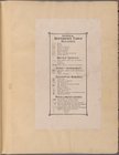
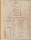
Index Plate No. 2
Reference Table
Index Plate No. 1
Index Plate No. 2
Reference Table
Lettering conventional signs
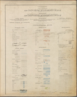
note:
Many
maps
are rev. ed., many
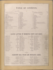
Table of contents
m
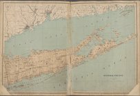
Servoss' Sectional road
map
of Long Island
note:
The
map
points N.N.W.
m
Servoss' sectional road
map
of Long Island
Outline and Index
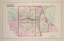
Map
of Elmira
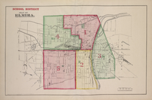
School District
Map
of Elmira
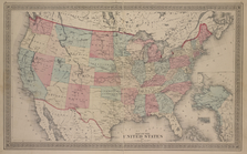
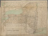
Map
of The United States
note:
Township
maps
are on the scale of 1:42,240 or 1
m
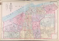
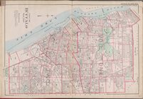
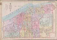
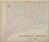
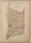
Map
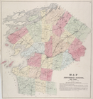
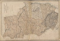
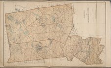
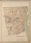
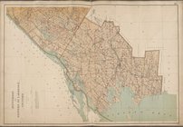
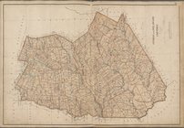
of Dutchess County New York
m
Map
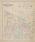
of Pine Plains Township. ; Pine Plains
Map
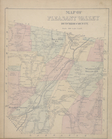
of Pleasant Valley Dutchess County
Map
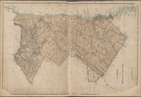
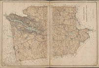
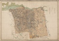
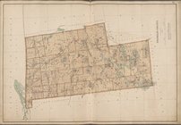
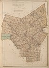
of Jefferson County, New York.
Map
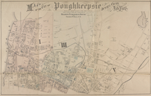
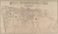
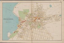
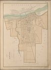
of the city of Poughkeepsie Dutchess County
Map
of the city of Poughkeepsie Dutchess County
m
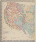
Gray's Geological
Map
of the United
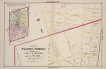
Map
of Saratoga Springs
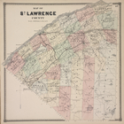
Map
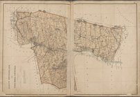
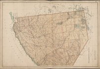
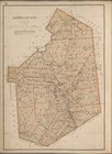
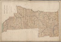
of St. Lawrence County.
Map
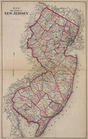
of The State of New Jersey
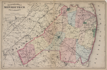
Topographical
Map
of Monmouth Co., New Jersey.
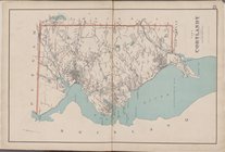
Westchester, Plate No. 1 [
Map
Westchester, Double Page Plate No. 20 [
Map
Westchester, Double Page Plate No. 25 [
Map
Westchester, Double Page Plate No. 26 [
Map
Westchester, Plate No. 27 [
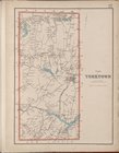
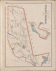
Map
of Town
Westchester, Plate No. 28 [
Map
of Town
…
Map
of the United
… [
Map
of the State
… [
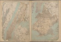
Map
of City of New
… [
Map
of Suffolk County]
New York State, Plate No. 9 [
Map
… [
Map
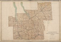
of Ulster
… [
Map
of Fulton
… [
Map
of Albany
New York State, Plate No. 13 [
Map
… [
Map
of Warren
… [
Map
of Hamilton
… [
Map
of Essex County]
New York State, Plate No. 17 [
Map
… [
Map
of Franklin County]
… [
Map
of St. Lawrence
… [
Map
of Jefferson
New York State, Plate No. 21 [
Map
New York State, Plate No. 22 [
Map
… [
Map
of Otsego
… [
Map
of Madison
… [
Map
of Schuyler
1
2
3
4
5
6
7
8
9
10
…
15
16
Previous
Next
1
2
3
4
5
6
7
8
9
10
…
15
16
Previous
Next