Click to visit the main New York Public Library Homepage
The New York Public Library
Digital Collections
About Digital Collections
Browse
Search only public domain materials
Items
Collections
Divisions
Home
Search
Browse
About
Search only public domain materials
Items
Collections
Divisions
Digital Collections
Using Images
Using Data
Search
Filtered keyword search
Show filters
Hide filters
Show Only Public Domain
topic
Administrative and political divisions
333
Railroads
313
Real property
299
Landowners
215
City planning
126
More
Less
name
New York (N.Y.). Common Council
99
Valentine, D. T. (David Thomas), 1801-1869
49
Dripps, M. (Matthew)
43
Rand McNally and Company
41
G.W. & C.B. Colton & Co
37
More
Less
collection
x
Maps of New York City and State
place
New York (State)
1304
New York (N.Y.)
610
New York
554
Manhattan (New York, N.Y.)
340
Brooklyn (New York, N.Y.)
265
More
Less
genre
Maps
2052
Cadastral maps
183
Manuscript maps
71
Pamphlets
35
Aerial views
30
More
Less
publisher
publisher not identified
118
s.n
37
G.W. & C.B. Colton & Co
33
M. Dripps
29
The Company
28
More
Less
division
x
Map Division
type
cartographic
2044
text
58
still image
27
Date Range
to
Looking for this collection?
Maps of New York City and State
2,059 items
2,057 results found for:
x
map
Filtering on:
x
Division
: Map Division
x
Collection
: Maps of New York City and State
For more collection details, visit the
Maps of New York City and State collection page
.
Sort by:
Relevance
Title
Date created
Date digitized
Sequence
Results 1001 - 1050
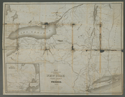
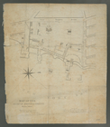
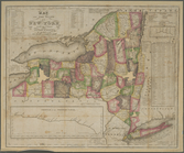
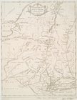
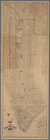
Map
of the State of New York
note:
… to Early
Maps
of the Middle
Map
of the meetings constituting New York Yearly
note:
… to Early
Maps
of the Middle
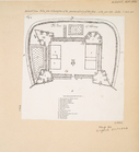
The Fort of Albany
note:
… to Early
Maps
of the Middle
Kingstone.
note:
… to Early
Maps
of the Middle
New York Harbor and entrance …
note:
Map
is annotated with color to show beacons
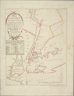
An accurate
map
of Staten Island
note:
… to Early
Maps
of the Middle
Map
of the Marine Hospital ground, Staten
note:
… to Early
Maps
of the Middle
A
map
prepared for the report of the New York
note:
… to Early
Maps
of the Middle
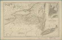
Map
of the state of New York
note:
… to Early
Maps
of the Middle
Map
of the state of New York with part
note:
Creek, A.
Maps
of the Genesee Valley & Finger
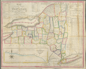
Map
of the state of New York
note:
… to Early
Maps
of the Middle
Map
of the State of New York
note:
… to Early
Maps
of the Middle
A
map
of the state of New York : compiled
note:
… to Early
Maps
of the Middle
Statistical profile of the Bl…
note:
… to Early
Maps
of the Middle
Map
and profile of the Champlain Canal as made from
note:
… to Early
Maps
of the Middle
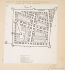
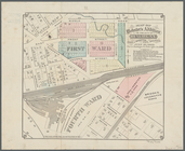
Map
of lots in the 5th ward of the city
note:
… to Early
Maps
of the Middle
m
Map
of the city of Albany
note:
… to Early
Maps
of the Middle
Map
of the State of New York
note:
… to Early
Maps
of the Middle
Map
of the state of New York
note:
… to Early
Maps
of the Middle
An accurate
map
of Staten Island
note:
… to Early
Maps
of the Middle
An Accurate
map
of New York in North
note:
Jolly D.C.
Maps
of America, in periodicals
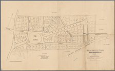
Rochelle Park, New-Rochelle, …
note:
…"
Map
of July, 1886, and March 1, 1888."…
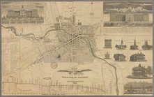
Map
of the village of Auburn
note:
Purchase; Boston Rare
Maps
; invoice date
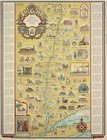
Romance
map
of the Hudson River Valley
Patroonships, manors and seig…
note:
… keyed to
map
and inset
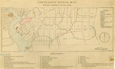
Cortlandt Manor
map
: prepared expressly
m
The Hudson by daylight
map
, from New York
Map
of lots belonging to the Bay Ridge
m
Castle Ridge, Tarrytown, West…
note:
Map
shows blocks and lot numbers (some
m
Map
of New York City south of 132d St.
Bridgman's new
map
of the City of New York …
The Hudson by daylight
map
, from New York
note:
Mapping
the Nation (NEH grant, 2015-2018)…
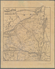
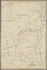
Map
of northern New York
note:
Mapping
the Nation (NEH grant, 2015-2018)…
Road
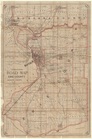
map
of Erie County and part
note:
Mapping
the Nation (NEH grant, 2015-2018)…
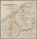
Map
of Chautauqua County, N.Y
note:
Mapping
the Nation (NEH grant, 2015-2018)…
m
Map
of Geneva, Ontario Co., N.Y.
note:
Mapping
the Nation (NEH grant, 2015-2018)…
m
Map
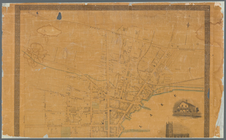
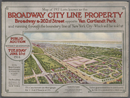
of 197 Lots known as the Broadway
note:
Map
of 197 Lots known as the Broadway
Road
map
of the counties of Putnam
note:
Mapping
the Nation (NEH grant, 2015-2018)…
m
Map
of the city of Poughkeepsie, New York …
note:
Mapping
the Nation (NEH grant, 2015-2018)…
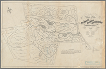
Map
of the Albany Rural Cemetery
note:
Mapping
the Nation (NEH grant, 2015-2018)…
m
Map
or plan showing the street system
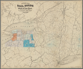
Revised
map
of the rail roads of the State
note:
Mapping
the Nation (NEH grant, 2015-2018)…
Map
of the Cities of Albany and Rensselaer
note:
Mapping
the Nation (NEH grant, 2015-2018)…
City of Niagara Falls: the po…
note:
… travel-
map
of Niagara Falls
Sketch showing the primary tr…
note:
Mapping
the Nation (NEH grant, 2015-2018)…
m
Peremptory sale of a suburban…
note:
Includes vicinity
map
of Flatbush
Map
of Webster's Addition to the city
note:
Mapping
the Nation (NEH grant, 2015-2018)…
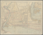
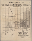
Map
of sewer district of Bath Beach
Plan of Bay Ridge Parkway
note:
Includes inset
map
: Plan of Parkway from 1
Map
of the enlarged city of Brooklyn …
1
2
3
4
5
6
7
8
9
Previous
Next
1
2
3
4
5
6
7
8
9
Previous
Next