Click to visit the main New York Public Library Homepage
The New York Public Library
Digital Collections
About Digital Collections
Browse
Search only public domain materials
Items
Collections
Divisions
Home
Search
Browse
About
Search only public domain materials
Items
Collections
Divisions
Digital Collections
Using Images
Using Data
Search
Filtered search
Show filters
Hide filters
Show Only Public Domain
topic
History
125
Cartography
103
Antiquities
102
Description and travel
100
Celestial charts
50
More
Less
name
Norden, Frederik Ludvig, 1708-1742
40
Tuscher, Markus, 1705-1751
40
Lepsius, Richard, 1810-1884
39
Flamsteed, John, 1646-1719
30
Beauplan, Guillaume Le Vasseur, sieur de, approximately 1600-
21
More
Less
collection
Materīaly po istorīi russkoĭ kartografīi
103
The antiquities, natural history, ruins and other curiosities of Egypt, Nubia and Thebes. Exemplified in near two hundred drawings taken on the spot
40
Denkmaeler aus Aegypten und Aethiopien nach den Zeichnungen der von seiner Majestat dem Koenige von Preussen Friedrich Wilhelm IV nach diesen Landern gesendeten und in den Jahren 1842-1845 ausgefuhrten wissenschaftlichen Expedition ..
39
Atlas celeste de Flamsteed, publie en 1776
30
Joannis Elerti Bode Uranographia, sive astrorum descriptio viginti tabulis aeneis incisa ex recentissimis et absolutissimis astronomorum observationibus ..
20
More
Less
place
Russia
116
Egypt
109
Africa
37
Nile River
29
Arctic regions
23
More
Less
genre
Maps
353
Prints
230
Illustrations
110
pages (components)
16
Plans
11
More
Less
publisher
Tip. S.V. Kulʹzhenko
103
Printed for Lockyer Davis
40
Nicolaische Buchhandlung
39
Chez Delamarche
30
Apud Autorem
20
More
Less
division
x
General Research Division
type
x
cartographic
still image
17
text
13
Date Range
to
510 results found
Filtering on:
x
Division
: General Research Division
x
Type
: cartographic
Sort by:
Title
Date created
Date digitized
Sequence
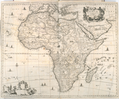
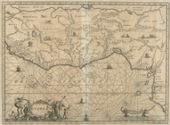
Africae Accurata Tabula ex Of…
Nova Aegypti Tabula
Barbaria Biledulgered o: Liby…
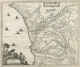
Fezzae et Marocchi Regna Afri…
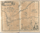
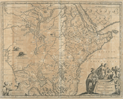
Nigritarum Regio
Gvinea
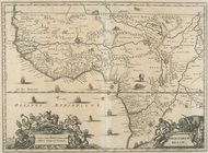
Aethiopia Inferior vel Exteri…
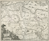
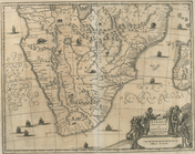
Regna Congo et Angola
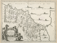
Aethiopia Superior vel Interi…
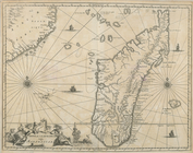
Insvla S. Lavrentii, vulgo Ma…
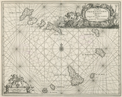
Insula Promontorii Viridis, H…
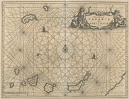
Insula Canariae alias Fortuna…
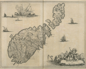
Melite Insula vulgo Masia
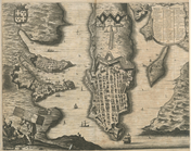
Difegno Della Citta Valletta
An old map of Heijokyo (Heijo…
An old map of Heiankyo (Heian…
The Jeannette ; Lost In the I…
m
Atlas géologique
Geroicheskiĭ pokhod
Chart of Smith Sound Showing …
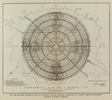
Map showing North Pole, [Map]
Port Foulke and Vicinity Nort…
North polar chart: track of t…
The countries round the North…
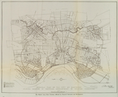
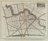
General plan of the city of H…
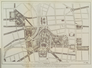
Diagrammatic plan for a moder…
General plan of the city of H…
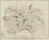
Plan of the central section o…
Suggested type of layout for …
m
Carte trigonométrique des côt…
Chart of part of the Coast of…
Chief Points of Interest in L…
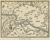
The description of Rome
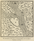
The description of the City o…
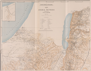
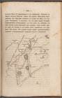
Die Karte von Arabia Petraea
Die Karte von Arabia Petraea
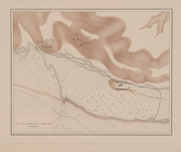
Situationsplan
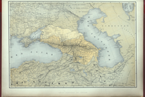
Carte generale du Caucase.
A Map of the Austrian, French…
m
Osnovnyi︠a︡ soobrazhenīi︠a︡ k…
m
Petrovskai︠a︡ zhel. doroga : …
Nastoiashchee I budushchee Ka…
m
Prilozhenīe 2-oe kʺ proektu s…
Histoire de la catographie de…
Reisen in Mato Grosso 1887/88
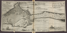
Carte du cap & du port de Cet…
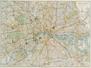
Plan of London
Plan Borodinskago srazheniia,…
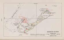
Bermuda Islands
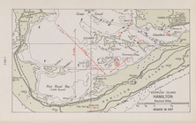
Bermuda Island. Hamilton
1
2
3
Previous
Next
1
2
3
Previous
Next