Click to visit the main New York Public Library Homepage
The New York Public Library
Digital Collections
About Digital Collections
Browse
Search only public domain materials
Items
Collections
Divisions
Home
Search
Browse
About
Search only public domain materials
Items
Collections
Divisions
Digital Collections
Using Images
Using Data
Search
Filtered search
Show filters
Hide filters
Show Only Public Domain
topic
Real property
6599
Fire insurance
4790
Cities & towns
4585
City planning
94
Landowners
84
More
Less
name
Sanborn Map Company
4668
G.W. Bromley & Co
1216
Bromley, George Washington
569
Bromley, Walter Scott
569
Ullitz, Hugo
469
More
Less
collection
Atlases of New York City
7118
Atlases of the United States
887
Maps of New York City and State
257
Maps of North America
156
Lawrence H. Slaughter Collection of English maps, charts, globes, books and atlases
87
More
Less
place
New York (State)
6871
New York
1892
Manhattan (New York, N.Y.)
1054
New York (N.Y.)
817
Brooklyn (New York, N.Y.)
471
More
Less
genre
Maps
8583
Atlases
885
Cadastral maps
82
Topographic maps
36
Index maps
32
More
Less
publisher
Sanborn Map Company
4710
G.W. Bromley & Co
1149
E. Belcher Hyde
451
E. Robinson Co
221
A.H. Mueller
100
More
Less
division
x
Map Division
type
cartographic
8588
text
59
still image
17
Date Range
to
8,641 results found
Filtering on:
x
Division
: Map Division
x
Note
: "v. 1". "5th c B.C."--written on border.
Sort by:
Title
Date created
Date digitized
Sequence
m
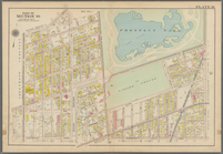
Map of the Cedar Knolls, at B…
Western Siberia, Independent …
Bokhara, Cabool, Beloochistan…
The Panjab with part of Afgha…
India V
World on gnomonic projection …
World on gnomonic projection …
Maps of the Society for the D…
England V
Map of the comprehensive plan…
Map and profile showing sourc…
Map of Jamaica in the 4th war…
Park between 35th and 36th St…
Hollis Terrace addition no. 1…
Map of 272 lots in the 30th w…
m
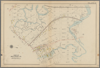
Borough of Brooklyn, 5th cong…
New map of the great metropol…
m
Plans for the improvement of …
Map of New York City, south o…
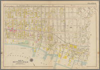
Map of property in the 19th w…
Map of the 23rd and 24th ward…
Maps accompanying report of M…
m
Map 5 - Manhattan
m
Map 1 - Manhattan and Bronx
m
A map shewing the extent of t…
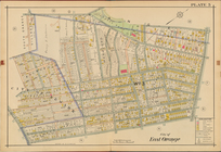
City of East Orange, Double P…
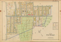
City of East Orange, Double P…
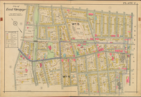
City of East Orange, Double P…
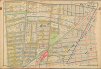
City of East Orange, Double P…
Map of Wisconsin designed to …
Plan of burnt district (by fi…
Map showing route of marches …
Sketch of the action on the h…
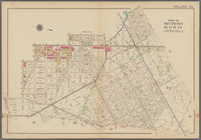
Bounded by Avenue K., Ralph A…
Bounded by E. 103rd Street, A…
Bounded by Avenue D., Ralph A…
Bounded by Rockaway Avenue, R…
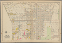
Bounded by Ralph Avenue, E. 9…
Bounded by Avenue J., E. 56th…
Bounded by Avenue P., E. 31st…
Bounded by Avenue V., Knapp S…
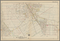
Coney Island. Bounded by Cana…
Bounded by Bay View Avenue, W…
Bounded by Ocean Parkway, Ave…
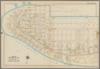
Bounded by Ditmas Avenue, Con…
Bounded by Regent Place, Tild…
Bounded by Winthrop Street, (…
Bounded by Terrace Place, 11t…
Bounded by 86th Street, W. 9t…
Bounded by 86th Street, W. 11…
1
2
3
4
5
6
7
8
9
10
…
34
35
Previous
Next
1
2
3
4
5
6
7
8
9
10
…
34
35
Previous
Next