Click to visit the main New York Public Library Homepage
The New York Public Library
Digital Collections
About Digital Collections
Browse
Search only public domain materials
Items
Collections
Divisions
Home
Search
Browse
About
Search only public domain materials
Items
Collections
Divisions
Digital Collections
Using Images
Using Data
Search
Filtered search
Show filters
Hide filters
Show Only Public Domain
topic
Real property
187
Local transit
8
Landowners
6
Railroads
6
Real propery auctions
5
More
Less
name
G.W. Bromley & Co
180
Bromley, George Washington
77
Bromley, Walter Scott
77
Perris, William
8
Rand McNally and Company
5
More
Less
collection
Atlases of New York City
190
Maps of New York City and State
20
Collection of broadside real estate maps announcing auctions of lots in early 19th century New York City
5
place
x
Manhattan (New York, N.Y.)
New York (State)
210
New York
174
New York (N.Y.)
85
Manhattan
8
More
Less
genre
Maps
213
Cadastral maps
7
Title pages
2
Engineering drawings
1
publisher
G.W. Bromley & Co
151
G.W. Bromley
29
Lith. by Korff Brothers
7
William Perris, Civil Engineer
7
E. Robinson Co
3
More
Less
division
x
Map Division
type
cartographic
213
text
2
Date Range
to
215 results found
Filtering on:
x
Division
: Map Division
x
Note
: Manuscript notation "U.S. Light House Rept. 1898" in lead and printed numeral "3" in red ink on verso.
x
Place
: Manhattan (New York, N.Y.)
Sort by:
Title
Date created
Date digitized
Sequence
m
Hagstrom's map of upper New Y…
Hagstrom's New York house-num…
Hagstrom's map of ... New Yor…
m
3 three story brick houses in…
m
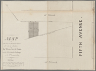
Map of two lots on Thirteenth…
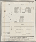
Valuable property for sale. J…
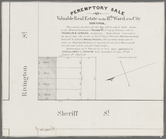
Peremptory sale of valuable r…
m
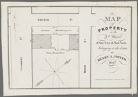
Map of property in the 3d War…
4 plans of the City of New Yo…
m
Map[s] to accompany report "T…
Map showing the relative posi…
Rand, McNally & Co.'s map of …
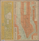
Rand McNally & Co.'s guide ma…
m
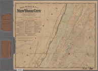
Map of the City of New York n…
Rand, McNally & Co.'s new han…
This Map of the City of New Y…
Sketch showing the ground und…
m
Rand, McNally & Co.'s map of …
Map of New York City showing …
m
Rand, McNally & Co.'s map of …
Pierhead and bulkhead lines f…
m
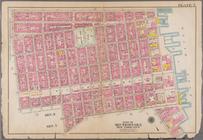
Part of Wards 1, 2, 3, 4, 5 &…
m
The Tenement-House Committee …
Plan showing course of stream…
Maps shewing the residence of…
Map bounded by Houston Street…
Bounded by W. 3rd Street, Bro…
Bounded by W. 8th Street, E. …
Bounded by Barrow Street, Ble…
Bounded by W. 11th Street, W.…
Bounded by W. 71st Street, Am…
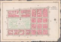
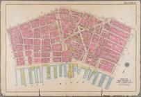
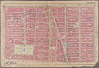
Plate 3: Bounded by William S…
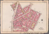
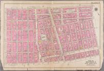
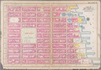
Plate 7: Bounded by E. 3rd St…
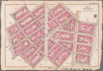
Plate 8: Bounded by W. 3rd St…
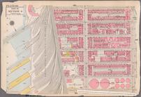
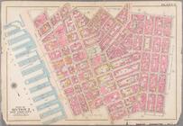
Plate 9: Bounded by Charles S…
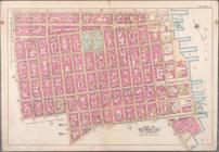
Plate 11: Bounded by W. 14th …
Plate 12: Bounded by E. 14th …
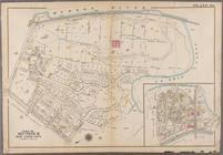
Plate 49: Bounded by Harlem R…
Bounded by E. 3rd Street, Tom…
Bounded by W. 3rd Street, Gre…
Bounded by Charles Street, Wa…
Bounded by W. 14th Street, E.…
Bounded by E. 14th Street, Av…
Plate 2: [Bounded by E. 144th…
Plate 3: [Bounded by River Av…
Plate 1, Part of Section 3: […
Plate 2, Part of Section 3: […
Plate 3, Part of Section 3: […
Plate 4, Part of Section 3: […
Plate 5, Part of Section 3: […