Click to visit the main New York Public Library Homepage
The New York Public Library
Digital Collections
About Digital Collections
Browse
Search only public domain materials
Items
Collections
Divisions
Home
Search
Browse
About
Search only public domain materials
Items
Collections
Divisions
Digital Collections
Using Images
Using Data
Search
Filtered search
Show filters
Hide filters
Show Only Public Domain
topic
Real property
5780
Fire insurance
3789
Cities & towns
3647
City planning
105
Maps
103
More
Less
name
Sanborn Map Company
3663
G.W. Bromley & Co
1148
Bromley, George Washington
596
Bromley, Walter Scott
596
Ullitz, Hugo
547
More
Less
collection
Atlases of New York City
6255
Atlases of the United States
882
Maps of New York City and State
262
Maps of North America
132
Collection of broadside real estate maps announcing auctions of lots in early 19th century New York City
52
More
Less
place
New York (State)
6058
New York
1980
Manhattan (New York, N.Y.)
942
New York (N.Y.)
735
Brooklyn (New York, N.Y.)
664
More
Less
genre
Maps
7602
Atlases
880
Cadastral maps
102
Topographic maps
54
Plans
46
More
Less
publisher
Sanborn Map Company
3709
G.W. Bromley & Co
1072
E. Belcher Hyde
540
E. Robinson Co
246
G.M. Hopkins & Co
95
More
Less
division
x
Map Division
type
cartographic
7593
text
76
still image
32
Date Range
to
7,670 results found
Filtering on:
x
Division
: Map Division
x
Note
: NYPL Map Div. copy stamped in 2 places over publisher's name with "John P. Hunt, 29 So. 9th St., Phila."
Sort by:
Title
Date created
Date digitized
Sequence
m
Map of the Cedar Knolls, at B…
m
Mercator projection exhibitin…
Map of the comprehensive plan…
Map and profile showing sourc…
m
The John Wanamaker automobile…
Map of Jamaica in the 4th war…
Park between 35th and 36th St…
Wall St. New York City, U.S.A…
Map of 272 lots in the 30th w…
m
Borough of Brooklyn, 5th cong…
m
Plans for the improvement of …
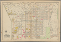
Map of New York City, south o…
Map of property in the 19th w…
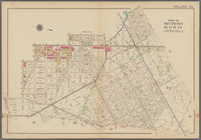
Map of the 23rd and 24th ward…
Maps accompanying report of M…
m
Map 29 - Brooklyn and Queens
m
Map 9 - Manhattan, Brooklyn, …
m
A map shewing the extent of t…
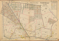
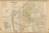
South Orange Township, Double…
South Orange Township, Double…
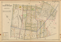
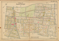
Village of South Orange, Doub…
Village of South Orange, Doub…
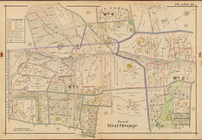
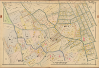
Town of West Orange, Double P…
Town of West Orange, Double P…
West Orange, Orange, Double P…
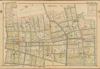
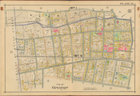
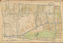
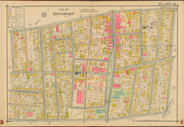
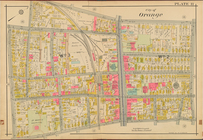
City of Orange, Double Page P…
City of Orange, Double Page P…
City of Orange, Double Page P…
City of Orange, Double Page P…
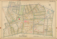
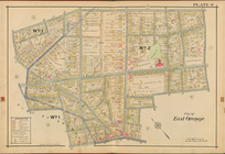
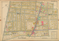
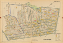
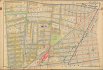
City of East Orange, Double P…
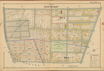
City of East Orange, Double P…
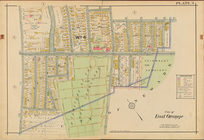
City of East Orange, Double P…
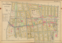
City of East Orange, Double P…
City of East Orange, Double P…
City of East Orange, Double P…
City of East Orange, Double P…
City of East Orange, Double P…
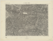
St. Johann im Pongau
Map of the boundary lines bet…
Plan of burnt district (by fi…
Sketch of the action on the h…
Bounded by Avenue K., Ralph A…
Bounded by E. 103rd Street, A…
Bounded by Avenue D., Ralph A…
Bounded by Rockaway Avenue, R…
Bounded by Ralph Avenue, E. 9…
Bounded by Avenue J., E. 56th…
Bounded by Avenue P., E. 31st…
Bounded by Avenue V., Knapp S…
Coney Island. Bounded by Cana…
1
2
3
4
5
6
7
8
9
10
…
30
31
Previous
Next
1
2
3
4
5
6
7
8
9
10
…
30
31
Previous
Next