Click to visit the main New York Public Library Homepage
The New York Public Library
Digital Collections
About Digital Collections
Browse
Search only public domain materials
Items
Collections
Divisions
Home
Search
Browse
About
Search only public domain materials
Items
Collections
Divisions
Digital Collections
Using Images
Using Data
Search
Filtered keyword search
Show filters
Hide filters
Show Only Public Domain
topic
Real property
938
Fire insurance
441
Cities & towns
356
City planning
117
Description and travel
116
More
Less
name
Sanborn Map Company
441
G.W. Bromley & Co
267
Bromley, George Washington
205
Bromley, Walter Scott
204
Hyde, E. Belcher
175
More
Less
collection
Atlases of New York City
1406
Atlases of the United States
344
Maps of North America
290
Maps of New York City and State
278
Atlases, gazetteers, guidebooks and other books
141
More
Less
place
New York (State)
1150
New York
531
New York (N.Y.)
407
Staten Island (New York, N.Y.)
363
Suffolk County (N.Y.)
188
More
Less
genre
Maps
2518
Atlases
343
Topographic maps
101
Nautical charts
93
Cadastral maps
75
More
Less
publisher
Sanborn Map Company
365
E. Belcher Hyde
248
G.W. Bromley & Co
211
E. Robinson Co
134
Beers, Comstock & Cline
113
More
Less
division
x
Map Division
type
cartographic
2400
still image
131
text
80
Date Range
to
2,581 results found for:
x
Islands
Filtering on:
x
Division
: Map Division
Sort by:
Relevance
Title
Date created
Date digitized
Sequence
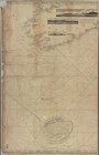
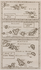
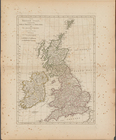
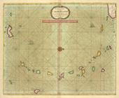
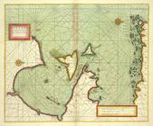
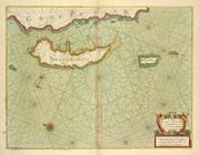
A chart of the CANARIE and MADERA
Islands
…
Islands
, comprehending
Alaska Peninsula and Aleutian
Islands
to Seguam
Alaska Peninsula and Aleutian
Islands
to Seguam
… to Coutances also the
islands
Tercera,
islands
; Canary,
islands
;
Islands
…, with the
Islands
of Zante
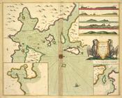
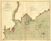
Boston Harbor
… and
islands
within ye limits
note:
… of Panama &c. -- The
island
…
Island
, St. Lawrence
note:
… of: [Thousand
Islands
…
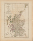
islands
Scotland, and its
islands
; or the north
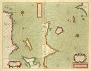
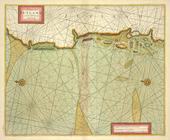
Map of the Sea-Coast of South…
topic:
Islands
Part of North America: compre…
collection:
…, streights,
islands
, depths
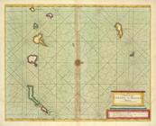
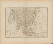
Hawaiian
Islands
abstract:
… on the
islands
are hand-colored
… the
islands
and the new
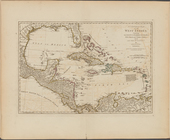
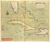
A compleat map of the West In…
collection:
…, republics, and
islands
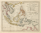
Sketch F, no. 6, showing the …
topic:
Islands
Hawaii
abstract:
… between
islands
East India
Islands
m
Mitchell's new national map e…
note:
Inset maps: Map of the Sandwich
Islands
discovered
The Hawaiian
Islands
abstract:
… on Hawaii
Island
. Includes
A chart of JUTLAND and the
Islands
of Omtren
The cheife Harbours in the
Islands
of ORKNEY
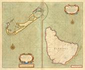
The Iland of Babados ;
Island
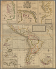
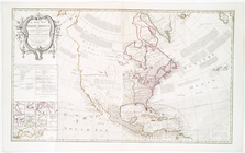
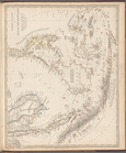
A new map of North America: w…
note:
… into the continent & the
islands
Alaska
abstract:
…
Islands
and Countinuation
A chart of North and South Am…
note:
… with the countries and
islands
about
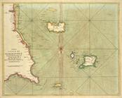
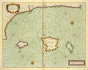
A chart of the CARIBE ILANDS
A new chart of the BAHAMA
ISLANDS
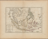
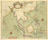
The
islands
of the East Indies
…, with all adjacent
Islands
… the adjacent
Islands
from cape
A chart of the coast of BARBA…
… and
Islands
contained therein
… the sea coast and
Islands
… with
Islands
of Aland
… Loire, with the
islands
m
A chart of the British Channe…
note:
…, Falmouth and Cork;
Islands
…
Islands
, Port Jackson &c
… : with the adjacent
islands
… of BIAFRA from Foche
Island
to Corisco
Island
together
A chart of
Islands
… Drago with the
Island
Preliminary chart of Cedar Ke…
topic:
Islands
Islands
in the Indian Ocean
Eastern
Islands
or Malay Archipelago
… and Green
Islands
, N.Y.
… ; The Bermuda
Islands
Caarte voor een gedeelte der …
1
2
3
4
5
6
7
8
9
10
11
Previous
Next
1
2
3
4
5
6
7
8
9
10
11
Previous
Next