Click to visit the main New York Public Library Homepage
The New York Public Library
Digital Collections
About Digital Collections
Browse
Search only public domain materials
Items
Collections
Divisions
Home
Search
Browse
About
Search only public domain materials
Items
Collections
Divisions
Digital Collections
Using Images
Using Data
Search
Filtered keyword search
Show filters
Hide filters
Show Only Public Domain
topic
Geography
7
Nautical charts
7
Coasts
4
History
4
Indian land transfers
3
More
Less
name
Moll, Herman, -1732
4
Alexander, James, 1691-1756
3
Bond, Benjamin
3
Clinker Lot Right Men
3
Parker, James, 1714-1770
3
More
Less
collection
x
Lawrence H. Slaughter Collection of English maps, charts, globes, books and atlases
place
New Jersey
4
New York (N.Y.)
4
United States
4
Elizabeth (N.J.)
3
Middle Atlantic States
3
More
Less
genre
x
Maps
publisher
Printed by James Parker, and a few Copies are to be Sold by him, and Benjamin Franklin, in Philadelphia;
3
... Sold ... by Tho. Bowles, print and map-seller in St. Paul's-Churchyard
2
Printed for Ieames Shawe, and are to be solde at his shoppe nigh Ludgate,
2
Printed for J. Stockdale
2
Printed for Timothy Childe at the White Hart at the West-end of St. Paul's Church-yard
2
More
Less
division
Map Division
29
type
cartographic
29
Date Range
to
29 results found for:
x
Middle East
Filtering on:
x
Genre
: Maps
x
Collection
: Lawrence H. Slaughter Collection of English maps, charts, globes, books and atlases
For more collection details, visit the
Lawrence H. Slaughter Collection of English maps, charts, globes, books and atlases collection page
.
Sort by:
Relevance
Title
Date created
Date digitized
Sequence
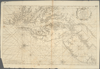
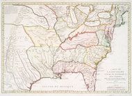
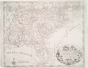
Virginia, Maryland, Pennsilvania,
east
& west New
note:
… to Early Maps of the
Middle
Virginia, Maryland, Pennsilvania,
east
& west New
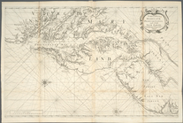
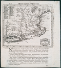
A chart of the Atlantick Ocea…
note:
Covers
east
coast of North America from
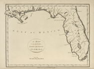
A map of the
East
and West Florida.
note:
… to Early Maps of the
Middle
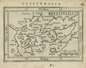
Westfalia.
note:
… to Early Maps of the
Middle
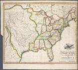
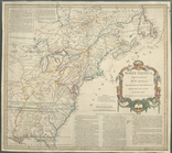
United States of America
note:
Shows the United States
east
Carte de la Louisiane cours d…
note:
Covers United States
east
of Rio Grande
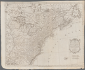
Nova Anglia, Novum Belgium, e…
note:
Covers the
east
coast of North America
… River,
East
River
note:
… to Early Maps of the
Middle
Map of the United States in N…
note:
… in the
East
and West
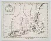
An exact mapp of New England …
note:
Covers area from the Hudson River Valley
east
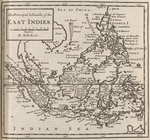
The principal islands of the
East
Indies.
note:
… to Early Maps of the
Middle
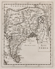
East
India.
note:
… to Early Maps of the
Middle
…,
East
River, passage
note:
… to Early Maps of the
Middle
… the Spanish provinces of
east
note:
… to Early Maps of the
Middle
… and
East
Florida from
note:
… to Early Maps of the
Middle
… the Spanish provinces of
East
note:
… to Early Maps of the
Middle
A new map of New England and …
note:
Covers New England as far north and
east
North America from the French…
note:
… to Early Maps of the
Middle
m
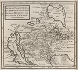
The isle of California, New M…
note:
… not cover
East
Coast.
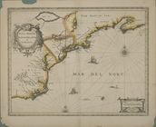
A new chart of America with t…
note:
Nautical chart of the
east
coast of the U.S
North America from the French…
note:
… to Early Maps of the
Middle
A plan of the city of New-Yor…
note:
… to Early Maps of the
Middle
m
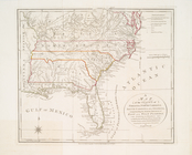
A new and exact map of the do…
note:
… of Carolina and the
east
part
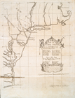
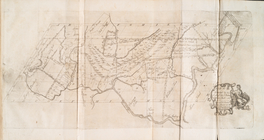
Map no. I : [to accompany A b…
note:
A presentation of the case of the
East
Jersey
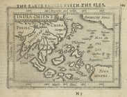
India Orient.
note:
… to Early Maps of the
Middle
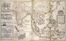
A map of the
East
-Indies and the adjacent
note:
… to Early Maps of the
Middle
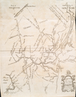
Map no. II : [to accompany A …
note:
A presentation of the case of the
East
Jersey
Map no. III : [to accompany A…
note:
A presentation of the case of the
East
Jersey
End of results
|
Top