Click to visit the main New York Public Library Homepage
The New York Public Library
Digital Collections
About Digital Collections
Browse
Search only public domain materials
Items
Collections
Divisions
Home
Search
Browse
About
Search only public domain materials
Items
Collections
Divisions
Digital Collections
Using Images
Using Data
Search
Filtered keyword search
Show filters
Hide filters
Show Only Public Domain
topic
Real property
252
Fire insurance
50
Cities & towns
47
Administrative and political divisions
41
Nautical charts
34
More
Less
name
Ullitz, Hugo
95
E.B. Hyde & Co
92
E. Belcher Hyde Map Company
72
Sanborn Map Company
48
G.W. Bromley & Co
33
More
Less
collection
Atlases of New York City
235
Maps of North America
210
Maps of New York City and State
103
Atlases of the United States
43
Bancker plans
32
More
Less
place
New York (State)
306
New York
182
Brooklyn (New York, N.Y.)
110
Maps
88
New York (N.Y.)
84
More
Less
genre
x
Maps
Atlases
42
Surveys
34
land surveys
29
Cadastral maps
22
More
Less
publisher
E. Belcher Hyde
76
Sanborn Map Company
49
G.W. Bromley & Co
29
publisher not identified
28
Lith. by Korff Brothers
22
More
Less
division
Map Division
630
Manuscripts and Archives Division
35
Wallach Division: Print Collection
6
Schomburg Jean Blackwell Hutson Research and Reference Division
4
General Research Division
3
More
Less
type
cartographic
683
text
15
still image
8
Date Range
to
684 results found for:
x
30
Filtering on:
x
Genre
: Maps
Sort by:
Relevance
Title
Date created
Date digitized
Sequence
1863, West Point: [New York]
1st & 2nd Wards. [Map bounded…
1st & 3rd Wards. [Map bounded…
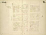
1st Ward. [Map bounded by Bow…
1st Ward. [Map bounded by Exc…
1st Ward. [Map bounded by Lib…
1st Ward. [Map bounded by Sto…
1st Ward. [Map bounded by Wes…
2nd & 4th Wards. [Map bounded…
2nd Ward. [Map bounded by Bro…
2nd Ward. [Map bounded by Pea…
2nd Ward. [Map bounded by Wil…
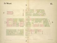
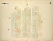
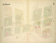
3rd Ward. [Map bounded by Col…
3rd Ward. [Map bounded by Ful…
3rd Ward. [Map bounded by Gre…
3rd Ward. [Map bounded by Rob…
3rd Ward. [Map bounded by Wes…
4th Ward. [Map bounded by Cat…
4th Ward. [Map bounded by Gol…
4th Ward. [Map bounded by Pec…
4th Ward. [Map bounded by Roo…
4th Ward.[Map bounded by Oak …
A chart of Delaware Bay and R…
A chart of Delaware Bay and R…
A chart of the bar of Sandy H…
note:
Scale [ca. 1:
30
,000] (W 74⁰00ʹ/N 40⁰27ʹ)…
A chart of the world : exhibi…
A general chart of all the co…
note:
…ʹ/N
30
°51ʹ--N 28°53ʹ).
A general sketch of the Harbo…
collection:
… map (from lat. 5⁰
30
A map and chart of those part…
A map of part of the land in …
A map of Philadelphia and par…
A map of Philadelphia and par…
A map of Philadelphia and par…
A map of St. Augustine & vici…
A map of that part of Pensylv…
A map of the British dominion…
parent:
70172a
30
-c5d3-012f-27ba-58d385a7bc34
A map of the British-plantati…
note:
…. [Thomas] Salmon, v.
30
A map of the Genesee lands in…
A map of the icy sea in which…
note:
From: Gentleman's magazine, v.
30
, June 1760
A map of the New England stat…
note:
…. With corrections in 1849. 38 x
30
A map of the province of Mass…
A map of the world from the b…
m
A map shewing the extent of t…
A map, historical and biograp…
A mapp of Virginia
A new and accurate map of Con…
A new chart of the Atlantic o…
parent:
16cc3c
30
-c5d5-012f-0c8f-58d385a7bc34
A new chart of the vast Atlan…
A new chart of the vast Atlan…
A new chart of the vast Atlan…
1
2
3
Previous
Next
1
2
3
Previous
Next