Click to visit the main New York Public Library Homepage
The New York Public Library
Digital Collections
About Digital Collections
Browse
Search only public domain materials
Items
Collections
Divisions
Home
Search
Browse
About
Search only public domain materials
Items
Collections
Divisions
Digital Collections
Using Images
Using Data
Search
Filtered search
Show filters
Hide filters
Show Only Public Domain
topic
Nautical charts
218
Harbors
48
Coasts
34
Navigation
28
Rivers
8
More
Less
name
Thornton, Samuel
173
United States Coast Survey
169
Bache, A. D. (Alexander Dallas), 1806-1867
147
Mathiot, G
37
Alden, James, 1810-1877
30
More
Less
collection
Maps of North America
207
Atlases, gazetteers, guidebooks and other books
174
Maps of New York City and State
12
Naval air pilot. West Indies including Bermuda, Bahama islands, the north coast of Colombia and Venezuela. Corrected to July 1, 1940. Notice to aviators, no. 7, 1940
2
Exposé des travaux relatifs à la reconnaissance hydrographique des côtes, occidentales de France
1
More
Less
place
Atlantic Ocean
34
Massachusetts
25
California
24
Florida
23
Virginia
21
More
Less
genre
x
Nautical charts
Maps
397
Bathymetric maps
97
Illustrations
2
Prints
2
More
Less
publisher
U.S. Coast Survey
86
U.S. Coast Survey Office
46
United States Coast Survey
20
publisher not identified
9
Coast Survey Office
5
More
Less
division
Map Division
394
General Research Division
3
type
cartographic
397
still image
7
text
2
Date Range
to
397 results found
Filtering on:
x
Genre
: Nautical charts
x
Rights
: Public Domain
Sort by:
Title
Date created
Date digitized
Sequence
1889, Larchmont Harbor, N.Y.:…
m
1896 Connecticut River, Conn.…
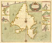
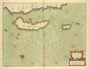
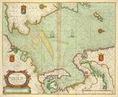
A chart od Iland of NEW FOUND…
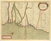
A chart of coast of ANGOLA fr…
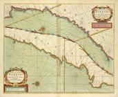
A chart of coast of BARBARY f…
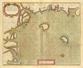
A chart of coast of BIAFRA fr…
A chart of coast SWEDEN from …
A chart of coasts of CIMBEBAS…
A chart of coasts of GABON, L…
A chart of EEMS ELVE, Wefer, …
A chart of Islands Corfu, Pac…
A chart of JUTLAND and the Is…
A chart of LYF LAND and East …
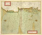
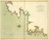
A chart of New York Harbour :…
A chart of NORWAY from High L…
A chart of PRUSSIA and Coerla…
A chart of the bay of BISCAY …
A chart of the BAY OF GALLOWA…
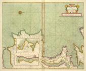
A chart of the BELT and SOUND
A chart of the BIGHT of BINNI…
A chart of the CANARIE and MA…
A chart of the CARIBE ILANDS
A chart of the coast of BARBA…
A chart of the coast of BARBA…
A chart of the coast of GUINE…
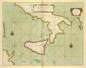
A chart of the east coast of …
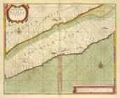
A chart of the EAST-SEA
A chart of the eastermost par…
A chart of the Eems of Old We…
A chart of the GOLD COAST in …
A chart of the Grain Ivory an…
m
A chart of the harbour of Rho…
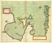
A chart of the Iland of HISPA…
A chart of the Island of MAUR…
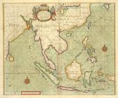
A chart of THE ISLES off CAPE…
A chart of the LEVANT or the …
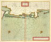
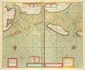
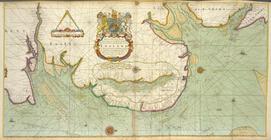
A chart of the NORTH SEA
A chart of the NORTH-WEST coa…
A chart of the sands, shoals,…
A chart of the sea coast from…
A chart of the sea coast of I…
A chart of the sea coast of I…
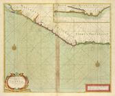
A chart of the sea coast of S…
A chart of the sea coast of S…
A chart of the sea coasts of …
A chart of the Sea-Coast of Z…
A chart of the Seacoasts of E…
A chart of the shoulds and ri…
A chart of the south part of …
A chart of the SOUTH SEA Texe…
1
2
Previous
Next
1
2
Previous
Next