


- The Library Shop
- Privacy Policy
- Rules and Regulations
- Using the Internet
- Website Terms and Conditions
- Gifts of Materials to NYPL
-
© The New York Public Library, 2024
The New York Public Library is a 501(c)(3) | EIN 13-1887440
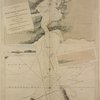
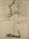
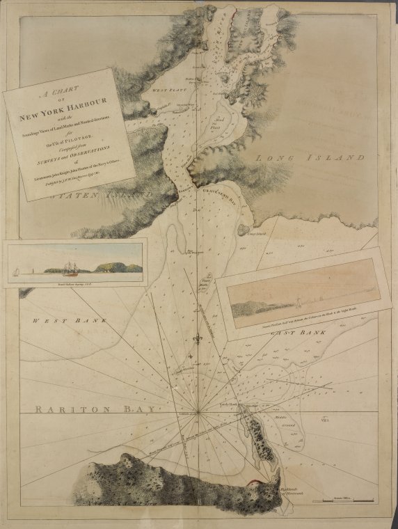
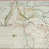
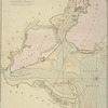
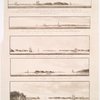
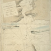
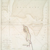
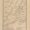
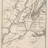
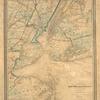
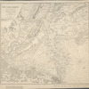
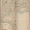
Lionel Pincus and Princess Firyal Map Division, The New York Public Library. "A chart of New York Harbour : with the soundings, views of land marks and nautical directions for the use of pilotage" The New York Public Library Digital Collections. 1779-05. https://digitalcollections.nypl.org/items/611384ed-b24e-6339-e040-e00a18060734
Lionel Pincus and Princess Firyal Map Division, The New York Public Library. "A chart of New York Harbour : with the soundings, views of land marks and nautical directions for the use of pilotage" New York Public Library Digital Collections. Accessed April 30, 2024. https://digitalcollections.nypl.org/items/611384ed-b24e-6339-e040-e00a18060734
Lionel Pincus and Princess Firyal Map Division, The New York Public Library. (1779-05). A chart of New York Harbour : with the soundings, views of land marks and nautical directions for the use of pilotage Retrieved from https://digitalcollections.nypl.org/items/611384ed-b24e-6339-e040-e00a18060734
<ref name=NYPL>{{cite web | url=https://digitalcollections.nypl.org/items/611384ed-b24e-6339-e040-e00a18060734 | title=
(cartographic)
A chart of New York Harbour : with the soundings, views of land marks and nautical directions for the use of pilotage, (1779-05)
|author=Digital Collections, The New York Public Library |accessdate=April 30, 2024 |publisher=The New York Public Library, Astor, Lenox, and Tilden Foundations}}</ref>