Click to visit the main New York Public Library Homepage
The New York Public Library
Digital Collections
About Digital Collections
Browse
Search only public domain materials
Items
Collections
Divisions
Home
Search
Browse
About
Search only public domain materials
Items
Collections
Divisions
Digital Collections
Using Images
Using Data
Search
Filtered search
Show filters
Hide filters
Show Only Public Domain
topic
Real property
970
Fire insurance
643
Cities & towns
620
Maps
36
Landowners
12
More
Less
name
Sanborn Map Company
633
G.W. Bromley & Co
133
Ullitz, Hugo
127
E.B. Hyde & Co
100
E. Belcher Hyde Map Company
98
More
Less
collection
Atlases of New York City
964
Atlases of the United States
51
Collection of broadside real estate maps announcing auctions of lots in early 19th century New York City
12
Maps of New York City and State
7
Lawrence H. Slaughter Collection of English maps, charts, globes, books and atlases
1
place
x
New York (State)
New York
321
Brooklyn (New York, N.Y.)
151
Bronx (New York, N.Y.)
74
Maps
73
More
Less
genre
x
Maps
Atlases
51
Index maps
28
Cadastral maps
12
Indexes
7
More
Less
publisher
Sanborn Map Company
621
G.W. Bromley & Co
129
E. Belcher Hyde
120
G.M. Hopkins & Co
40
Sanborn Map Co
12
More
Less
division
Map Division
1031
type
cartographic
1022
still image
10
text
7
Date Range
to
1,035 results found
Filtering on:
x
Genre
: Maps
x
Note
: "Atlas du Bull. Arch., IV. Pl. 9"--printed on border.
x
Place
: New York (State)
Sort by:
Title
Date created
Date digitized
Sequence
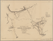
Map of the comprehensive plan…
Map and profile showing sourc…
m
A map shewing the extent of t…
Gansevoort Street, 9th Avenue…
m
Map of property in the 9th wa…
Map of 14 lots in the 9th war…
m
Map of part of the real estat…
m
Map of property in the 9th wa…
Map of property in the 9th wa…
Map of property in the 9th wa…
13 lots of ground to be sold …
m
Map of property in the 9th wa…
Valuable property for sale on…
m
Map of valuable property to b…
Chancery sale, valuable prope…
Map of the "Hunter Fly Farm" …
Rand, McNally & Co.'s indexed…
Insurance maps of Tarrytown, …
Plate IV. Sketches of village…
Carte de la Nouvelle York : y…
Monteith's map of the City of…
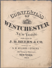
County atlas of Westchester, …
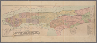
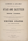
Asher & Adams' New Topographi…
Classified Business Directory…
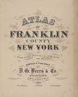
Atlas of Franklin County, New…
Illustrated historical atlas …
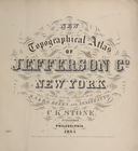
New topographical atlas of Je…
Illustrated historical atlas …
Atlas of the towns of Babylon…
New topographical atlas of St…
Atlas of Otsego Co., New York.
Roslyn Estates; Bulls Head
Atlas of Nassau County Long I…
Atlas of the Hudson River Val…
Refernces to the accompanying…
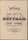
Atlas of the city of Buffalo,…
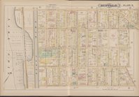
Buffalo, Double Page Plate No…
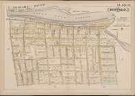
Buffalo, Double Page Plate No…
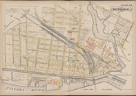
Buffalo, Double Page Plate No…
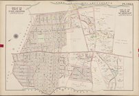
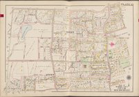
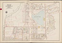
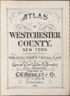
Atlas of Westchester County. …
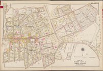
Westchester, V. 1, Double Pag…
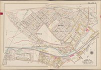
Westchester, V. 1, Double Pag…
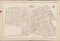
Westchester, V. 1, Double Pag…
Westchester, V. 1, Double Pag…
Westchester, V. 1, Double Pag…
Westchester, V. 1, Double Pag…
Atlas of Westchester County. …
Westchester, V. 2, Double Pag…
Westchester, V. 2, Double Pag…
Westchester, V. 2, Double Pag…
1
2
3
4
5
Previous
Next
1
2
3
4
5
Previous
Next