Click to visit the main New York Public Library Homepage
The New York Public Library
Digital Collections
About Digital Collections
Browse
Search only public domain materials
Items
Collections
Divisions
Home
Search
Browse
About
Search only public domain materials
Items
Collections
Divisions
Digital Collections
Using Images
Using Data
Search
Filtered keyword search
Show filters
Hide filters
Show Only Public Domain
topic
Real property
837
Administrative and political divisions
361
Railroads
272
Nautical charts
233
History
129
More
Less
name
G.W. Bromley & Co
533
Bromley, George Washington
524
Bromley, Walter Scott
524
United States Coast Survey
263
Bache, A. D. (Alexander Dallas), 1806-1867
209
More
Less
collection
Maps of North America
1450
Atlases of New York City
706
Atlases of the United States
249
Maps of New York City and State
211
Lawrence H. Slaughter Collection of English maps, charts, globes, books and atlases
35
More
Less
place
New York (State)
977
New York
601
Manhattan (New York, N.Y.)
497
United States
323
New York (N.Y.)
258
More
Less
genre
x
Maps
Atlases
243
Nautical charts
202
Bathymetric maps
113
Topographic maps
69
More
Less
publisher
G.W. Bromley & Co
484
U.S. Coast Survey
134
Sanborn Map Company
110
publisher not identified
75
G.W. Bromley and Co.,
69
More
Less
division
Map Division
2670
Schomburg Jean Blackwell Hutson Research and Reference Division
3
General Research Division
2
Wallach Division: Picture Collection
1
Wallach Division: Print Collection
1
type
cartographic
2629
text
70
still image
48
Date Range
to
2,679 results found for:
x
Washington (State)
Filtering on:
x
Genre
: Maps
Sort by:
Relevance
Title
Date created
Date digitized
Sequence
Results 751 - 800
Map of Kansas
abstract:
… and
Washington
, D.C. Includes
A map of the extremity of Cap…
note:
… Engineers,
Washington
City of
Washington
.
Map of the city of
Washington
…
Map of the city of
Washington
…
… of
Washington
the capital of the United
States
of America
note:
… vignettes:
Washington
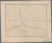
Map of the mouth of big Sandy…
collection:
Maps of New York City and
State
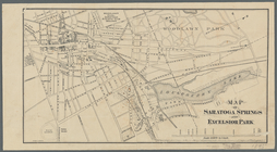
Map of Saratoga Springs and E…
note:
… at
Washington
, D.C."…
New-York, N. Jersey and Penns…
note:
Prime meridian:
Washington
.
… (Fort
Washington
Park).
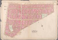
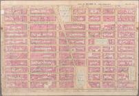
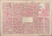
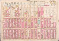
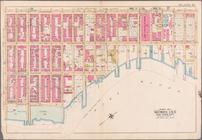
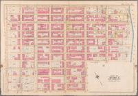
Bounded by Jay Street, Thomas…
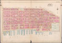
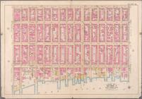
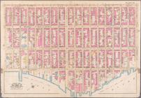
Bounded by Broome Street, Att…
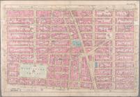
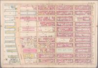
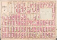
Bounded by Division Street, G…
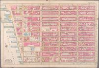
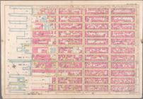
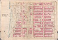
Bounded by W. 14th Street, E.…
Bounded by W. 25th Street, Se…
Bounded by w. 25th Street, E.…
Bounded by Lexington Avenue, …
Bounded by W. 36th Street, Ei…
Bounded by W. 47th Street, Ei…
Bounded by W. 47th Street, Le…
Bounded by Lexington Avenue, …
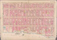
Bounded by Sixth Avenue, Cent…
Bounded by Ninth Avenue, W. 6…
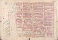
Bounded by (Hudson River) Twe…
Bounded by W. 75th Street, Ce…
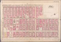
Bounded by W. 86th Street, Ce…
Bounded by E. 64th Street, Se…
Bounded by Fifth Avenue, E. 8…
Bounded by Second Avenue, e. …
Bounded by Fifth Avenue (Cent…
Bounded by Second Avenue, E. …
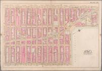
Bounded by E. 108th Street, E…
Bounded by Third Avenue, E. 1…
Bounded by Lenox Avenue, W. 1…
Bounded by W. 97th Street, Ce…
Bounded by W. 108th Street, C…
Bounded by W. 136th Street, F…
Bounded by E. 136th Street, H…
Bounded by W. 147th Street, H…
… and
Washington
Avenue.
Bounded by W. 139th Street, E…
… Road,
Washington
Avenue
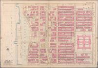
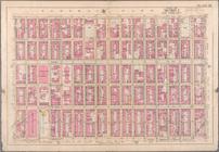
Atlas and owners names, borou…
Plate 13: Part of Sections 9&…
Plate 14: Part of Section 10,…
Plate 18: Part of Section 10,…
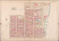
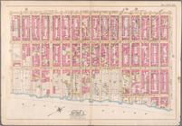
Bounded by Reade Street, Broa…
… Avenue, West
Washington
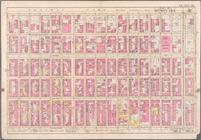
Plate 31, Part of Ward 3: [Ma…
Plate 36, Part of Section 2: …
1
2
3
4
5
6
7
8
9
10
11
Previous
Next
1
2
3
4
5
6
7
8
9
10
11
Previous
Next