Click to visit the main New York Public Library Homepage
The New York Public Library
Digital Collections
About Digital Collections
Browse
Search only public domain materials
Items
Collections
Divisions
Home
Search
Browse
About
Search only public domain materials
Items
Collections
Divisions
Digital Collections
Using Images
Using Data
Search
Filtered keyword search
Show filters
Hide filters
Show Only Public Domain
topic
Real property
837
Administrative and political divisions
361
Railroads
272
Nautical charts
233
History
129
More
Less
name
G.W. Bromley & Co
533
Bromley, George Washington
524
Bromley, Walter Scott
524
United States Coast Survey
263
Bache, A. D. (Alexander Dallas), 1806-1867
209
More
Less
collection
Maps of North America
1450
Atlases of New York City
706
Atlases of the United States
249
Maps of New York City and State
211
Lawrence H. Slaughter Collection of English maps, charts, globes, books and atlases
35
More
Less
place
New York (State)
977
New York
601
Manhattan (New York, N.Y.)
497
United States
323
New York (N.Y.)
258
More
Less
genre
x
Maps
Atlases
243
Nautical charts
202
Bathymetric maps
113
Topographic maps
69
More
Less
publisher
G.W. Bromley & Co
484
U.S. Coast Survey
134
Sanborn Map Company
110
publisher not identified
75
G.W. Bromley and Co.,
69
More
Less
division
Map Division
2670
Schomburg Jean Blackwell Hutson Research and Reference Division
3
General Research Division
2
Wallach Division: Picture Collection
1
Wallach Division: Print Collection
1
type
cartographic
2629
text
70
still image
48
Date Range
to
2,679 results found for:
x
Washington (State)
Filtering on:
x
Genre
: Maps
Sort by:
Relevance
Title
Date created
Date digitized
Sequence
Results 1001 - 1050
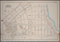
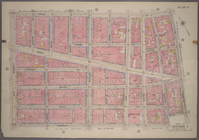
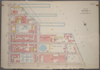
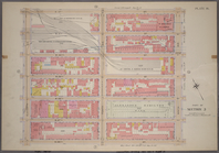
Plate 16: Part of Section 10,…
Plate 17: Part of Section 10,…
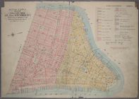
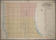
Outline & Index Map of Volume…
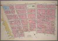
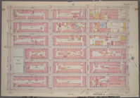
Bounded by Vesey Street, Ann …
Bounded by New Bowery Street,…
Bounded by Franklin Street, B…
Bounded by N. Moore Street, W…
Bounded by Watts Street, Sull…
Bounded by Grand Street, Mulb…
Bounded by Hester Street, Orc…
Bounded by East Broadway, Mon…
Bounded by East Broadway, Gra…
Bounded by Stanton Street, To…
Bounded by Broome Street, Wil…
Bounded by Stanton Street, Wi…
Bounded by Spring Street, Bow…
Bounded by E. Houston Street,…
Bounded by Prince Street, Mar…
Bounded by King Street, Macdo…
Bounded by W. 3rd Street, Bro…
Bounded by Broadway, (St. Mar…
Bounded by E. 4th Street, Cli…
Bounded by Clinton Street, Av…
Bounded by Columbia Street, A…
Bounded by E. 14th Street, (E…
Bounded by E. 9th Street, Ave…
Bounded by E. 14th Street, Av…
Bounded by E. 14th Street, Se…
Bounded by W. 14th Street, E.…
Bounded by Barrow Street, Ble…
Bounded by West Street, Charl…
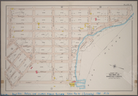
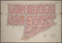
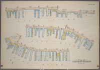
Plan of Hudson River Wharves …
Plan of East River Wharves [C…
Outline & Index Map of Volume…
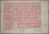
Plate 1, Part of Section 3: […
Plate 2, Part of Section 3: […
Bounded by E. 20th Street, Se…
Bounded by W. 20th Street, E.…
Bounded by W. 20th Street, Se…
Bounded by W. 20th Street, Ni…
Bounded by W. 26th Street, Ni…
Bounded by W. 26th Street, Se…
Bounded by W. 26th Street, E.…
Bounded by E. 26th Street, Se…
Bounded by E. 26th Street, Fi…
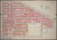
Bounded by E. 32nd Street, (E…
Bounded by E. 32nd Street, Th…
Bounded by W. 32nd Street, Fi…
Bounded by W. 32nd Street, Se…
Bounded by W. 32nd Street, Ni…
1
2
3
4
5
6
7
8
9
10
11
Previous
Next
1
2
3
4
5
6
7
8
9
10
11
Previous
Next