Click to visit the main New York Public Library Homepage
The New York Public Library
Digital Collections
About Digital Collections
Browse
Search only public domain materials
Items
Collections
Divisions
Home
Search
Browse
About
Search only public domain materials
Items
Collections
Divisions
Digital Collections
Using Images
Using Data
Search
Filtered search
Show filters
Hide filters
Show Only Public Domain
topic
Atlases, British
2
Beavers
1
Geography
1
Geography, Ancient
1
Maps in education
1
name
Moll, Herman, -1732
3
Nicholls, Sutton
3
Wells, Edward, 1667-1727
3
Homann Erben (Firm)
2
Homann, Johann Baptist, 1663-1724
2
More
Less
collection
Lawrence H. Slaughter Collection of English maps, charts, globes, books and atlases
11
Maps of North America
3
John H. Levine Collection
2
place
x
Great Britain -- Colonies -- America -- Maps -- Early works to 1800
North America -- Maps -- Early works to 1800
12
Northeastern States -- Maps -- Early works to 1800
4
North America
3
Canada -- Maps -- Early works to 1800
2
More
Less
genre
Maps
16
publisher
Edward Wells
2
Publish'd by Laurie & Whittle, 53 Fleet Street
2
Homannianis heredibus?
2
... Sold ... by Tho. Bowles, print and map-seller in St. Paul's-Churchyard
1
Chez l'Honoré & Châtelain Libraires?
1
More
Less
division
Map Division
16
type
cartographic
16
Date Range
to
16 results found
Filtering on:
x
Place
: Great Britain -- Colonies -- America -- Maps -- Early works to 1800
Sort by:
Title
Date created
Date digitized
Sequence
Carte nouvelle de l'Amerique …
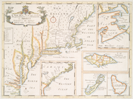
A new map of the most conside…
A new map of the most conside…
m
A new and exact map of the do…
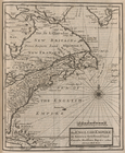
The English Empire in America…
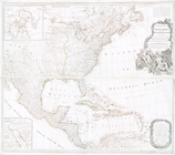
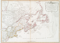
A new map of North America wi…
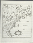
A map of the British-plantati…
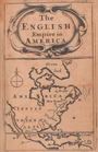
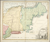
The English Empire in America.
A new map of the most conside…
A New and correct map of the …
m
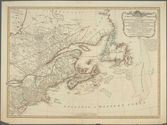
A new map of the British colo…
A map of ye English Empire in…
Nova Anglia Septentrionali Am…
Carte qui contient une descip…
Nova Anglia Septentrionali Am…
A New and correct map of the …
End of results
|
Top