Click to visit the main New York Public Library Homepage
The New York Public Library
Digital Collections
About Digital Collections
Browse
Search only public domain materials
Items
Collections
Divisions
Home
Search
Browse
About
Search only public domain materials
Items
Collections
Divisions
Digital Collections
Using Images
Using Data
Search
Filtered search
Show filters
Hide filters
Show Only Public Domain
topic
Real property
78
name
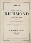
E. Robinson Co
100
Robinson, E. (Elisha)
86
Pidgeon, R. H. (Roger H.)
80
Mueller, A. H. (August H.)
7
F. Bourquin & Co
6
collection
Atlases of New York City
100
place
New York (N.Y.)
80
New York (State)
78
New York
77
Bronx (New York, N.Y.)
14
Brooklyn (New York, N.Y.)
6
More
Less
genre
Maps
100
publisher
x
E. Robinson Co
division
Map Division
100
type
cartographic
100
Date Range
to
100 results found
Filtering on:
x
Note
: 1 tag label: signed "R W Emerson / To be left at / Old Colony Depot" made from ticket to event of the [American In]stitute of Homoeo[pathy] Accompanied by envelope and note in pencil.
x
Publisher
: E. Robinson Co.
Sort by:
Title
Date created
Date digitized
Sequence
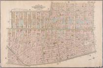
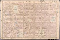
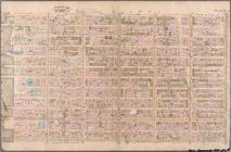
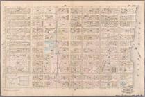
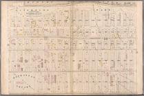
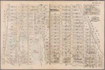
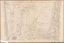
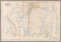
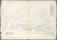
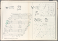
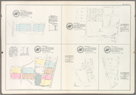
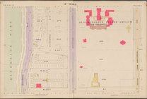
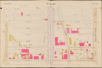
Plate 3: Bounded by West Stre…
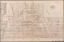
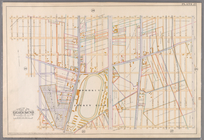
Plate 4: West Broadway, Canal…
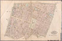
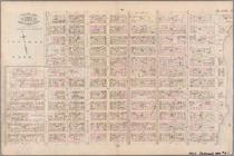
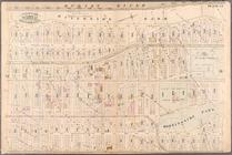
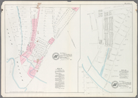
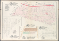
Plate 9: Bounded by Fourth Av…
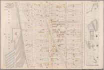
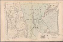
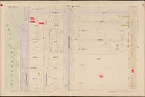
Plate 10: Bounded by West Str…
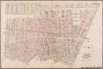
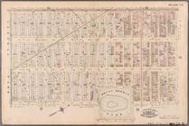
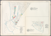
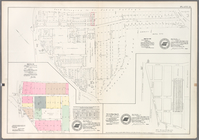
Plate 11: Bounded by W. 27th …
Plate 12: Bounded by W. 27th …
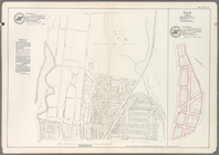
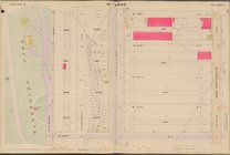
Plate 13: Bounded by W. 40th …
Plate 14: Bounded by W. 40th …
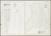
Plate 15: Bounded by W. 52nd …
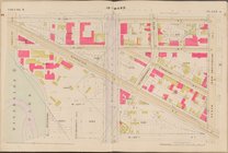
Plate 16: Bounded by W. 52nd …
Plate 17: Bounded by W. 64th …
Plate 18: Bounded by E. 64th …
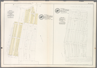
Plate 23: Bounded by W. 77th …
Plate 24: Bounded by Twelfth …
Plate 25: Bounded by Hudson R…
Plate 27: Bounded by Eighth A…
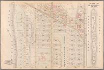
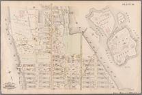
Plate 28: Bounded by W. 129th…
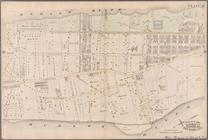
Plate 29: W. 147th Street, Ex…
Plate 30: Bounded by W. 166th…
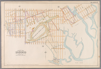
Plate 31: Bounded by Harlem R…
Plate 32: Bounded by Harlem R…
Plate 35: Bounded by .....N. …
Plate 41: Bounded by City of …
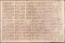
Plate 18:[Bounded by 86th Str…
Plate 19: [Bounded by 72nd St…
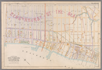
Plate 22: [Bounded by Avenue …
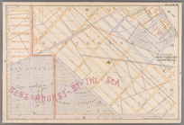
Plate23: [Bounded by Avenue P…
Plate 26: [Bounded by Avenue …
Plate 27: [Bounded by Avenue …
Plate 1: Map No. 441 [Bounded…
Plate 4: Map No. 302 [Bounded…
Plate 5: Map No. 375 [Bounded…
Plate 6: Map No. 141 [Bounded…
Plate 8: Map No. 238, Bounded…
Plate 9: Map No. 641, old No.…
Plate 14: Vol. 3 of Maps, Pag…
Plate 15: Map No. 554 [Bounde…
Plate 22: Map No. 443 [Bounde…
Plate 24: Map No. 296 [Bounde…
Plate 27: Map No. 315 [Bounde…
Plate 28: Map No. 8 [Bounded …
Plate 29: Map No. 274 [Bounde…
Plate 32: Map No. 160 [Bounde…
Plate 13: [Bounded by Depot P…
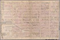
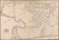
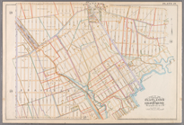
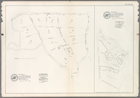
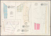
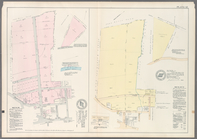
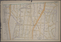
Atlas of the Borough of Richm…
Map bounded by 10th Ave., W. …
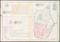
Map bounded by W. 122nd St., …
Map bounded by W. 126th St., …
Map bounded by W. 130th St., …
Map bounded by W. 134th St., …