Click to visit the main New York Public Library Homepage
The New York Public Library
Digital Collections
About Digital Collections
Browse
Search only public domain materials
Items
Collections
Divisions
Home
Search
Browse
About
Search only public domain materials
Items
Collections
Divisions
Digital Collections
Using Images
Using Data
Search
Filtered search
Show filters
Hide filters
Show Only Public Domain
topic
Administrative and political divisions
3
Landowners
2
Real property
2
Administrative and political divisions -- Maps
1
Altitudes
1
More
Less
name
Hayward, George, b. ca. 1800
2
Lay, Amos, 1765-1851
2
New York (N.Y.). Common Council
2
Valentine, D. T. (David Thomas), 1801-1869
2
American Photo-Lithographic Company
1
More
Less
collection
Maps of New York City and State
8
Maps of North America
3
place
New York (N.Y.)
6
New York (State)
6
Manhattan (New York, N.Y.)
5
America
1
Bronx (New York, N.Y.)
1
More
Less
genre
Maps
11
Aerial views
1
Cadastral maps
1
publisher
New York Common Council
2
A. Lay
1
A. Lay?
1
Am. Photo-Lithographic Co
1
Appleton & Co.?
1
More
Less
division
Map Division
11
type
x
cartographic
still image
1
Date Range
to
11 results found
Filtering on:
x
Note
: Hand colored.
x
Type
: cartographic
Sort by:
Title
Date created
Date digitized
Sequence
m
Sanitary & topographical map …
Amerika ĕst nor Ashkharhagrak…
View of Savannah as it stood …
m
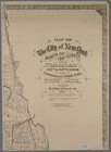
Map of the City of New York n…
m
Map of the City of New York, …
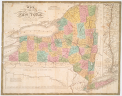
Map of the state of New York
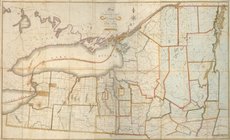
Map of the northern part of t…
m
Map of the City of New York n…
Map of the City of New York, …
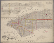
Map of the City & County of N…
m
Lay's map of the United States
End of results
|
Top