Click to visit the main New York Public Library Homepage
The New York Public Library
Digital Collections
About Digital Collections
Browse
Search only public domain materials
Items
Collections
Divisions
Home
Search
Browse
About
Search only public domain materials
Items
Collections
Divisions
Digital Collections
Using Images
Using Data
Search
Filtered search
Show filters
Hide filters
Show Only Public Domain
topic
Real property
234
Fire insurance
133
Cities & towns
112
City planning
56
Social conditions
56
More
Less
name
Sanborn Map Company
112
G.W. Bromley & Co
84
M.I.T. Press
56
New York (N.Y.). City Planning Commission
56
Bromley, George Washington
36
More
Less
collection
x
Atlases of New York City
place
New York (State)
304
New York
184
New York (N.Y.)
99
Manhattan (New York, N.Y.)
65
Bronx (New York, N.Y.)
37
More
Less
genre
Maps
443
Cadastral maps
11
Topographic maps
11
Index maps
5
Title pages
5
More
Less
publisher
Sanborn Map Company
121
G.W. Bromley & Co
71
MIT Press
56
E. Belcher Hyde
32
E. Belcher Hyde
23
More
Less
division
Map Division
442
type
cartographic
387
still image
57
text
7
Date Range
to
451 results found
Filtering on:
x
Note
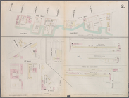
: NYPL Map Div. copy: manuscript additions in black ink show "North Concourse," "South Concourse," and 2 loops of possible viaduct with stations and trestle. Stamped in lower right margin: D. McN. Stauffer Collection and Gift
x
Collection
: Atlases of New York City
For more collection details, visit the
Atlases of New York City collection page
.
Sort by:
Title
Date created
Date digitized
Sequence
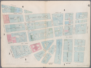
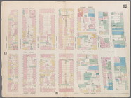
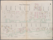
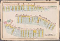
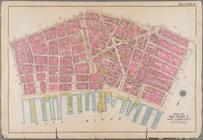
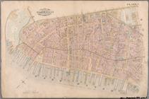
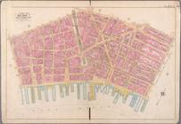
Coney Island. Bounded by Cana…
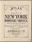
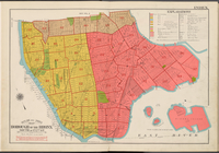
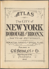
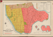
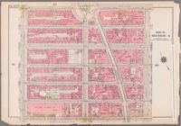
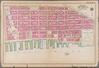
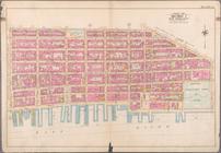
Atlas of the City of New York…
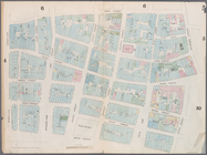
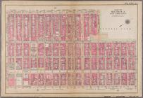
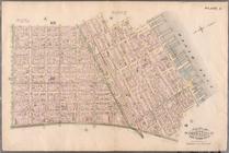
Outline and Index Map, Boroug…
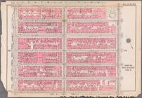
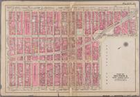
Atlas of the City of New York…
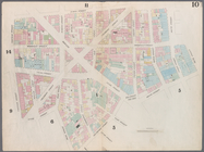
Outline and Index Map, Boroug…
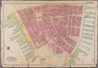
Atlas of the City of New York…
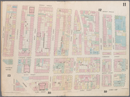
Outline and Index Map, Boroug…
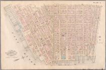
Bounded by W. 12th St., Avenu…
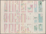
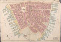
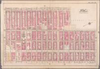
Map bounded by Battery Place,…
Map bounded by Maiden Lane, S…
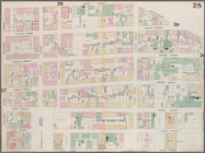
Map bounded by Frankfort Stre…
Map bounded by Chatham Street…
Map bounded by Chatham Square…
Map bounded by Division Stree…
Map bounded by Division Stree…
Map bounded by Henry Street, …
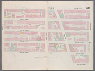
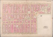
Map bounded by West 22nd Stre…
Plate 1: Map bounded by North…
Plate 2: Map bounded by South…
Map bounded by Bowling Green …
Map bounded by Liberty Street…
Map bounded by Gold Street, F…
Map bounded by Cliff Street, …
Map bounded by Chatham Street…
Map bounded by Monroe Street,…
Map bounded by Division Stree…
Map bounded by Division Stree…
Map bounded by Division Stree…
Map bounded by Grand Street, …
m
Bounded by Beaver Street, Bro…
Bounded by William Street, An…
Bounded by East Broadway, Pik…
Bounded by East Broadway, Mon…
Bounded by East Broadway, Gra…
Bounded by Corlears Street, P…
Bounded by W. 59th Street, Co…
Bounded by Central Park South…
Plate 1: Bounded by Liberty S…
Plate 3: Bounded by William S…
Plate 6: Bounded by Division …
Plate 22: Bounded by Sixth Av…
Plate 23: Bounded by Ninth Av…
Plate 1: Bounded by Battery P…
Plate 5: Bounded by Clinton S…
Plate 6: Bounded by Rutgers S…
Bounded by Liberty Street, Ma…
Bounded by William Street, Pa…
Bounded by Division Street, G…
Bounded by Sixth Avenue, Cent…
Bounded by Ninth Avenue, W. 6…
1
2
Previous
Next
1
2
Previous
Next