Click to visit the main New York Public Library Homepage
The New York Public Library
Digital Collections
About Digital Collections
Browse
Search only public domain materials
Items
Collections
Divisions
Home
Search
Browse
About
Search only public domain materials
Items
Collections
Divisions
Digital Collections
Using Images
Using Data
Search
Filtered search
Show filters
Hide filters
Show Only Public Domain
topic
x
Streets
Street photography
462
Buildings
38
Hotels
34
City & town life
21
More
Less
name
Stone, Dylan, 1967-
462
Columbia University
9
Detroit Photographic Co
8
E. & H.T. Anthony (Firm)
8
Trinity Church (New York, N.Y.)
7
More
Less
collection
Drugstore Photographs, Or, A Trip Along the Yangtze River, 1999, by Dylan Stone
462
Wallach Division Picture Collection
54
Robert N. Dennis collection of stereoscopic views
53
Maps of New York City and State
43
Historical postcards of New York City
9
More
Less
place
x
New York (State)
New York
643
New York (N.Y.)
574
Manhattan (New York, N.Y.)
547
Broadway (New York, N.Y.)
23
More
Less
genre
Photographs
540
Stereographs
53
Maps
43
Views
25
Postcards
18
More
Less
publisher
Detroit Publishing Company
8
Mail & Express
5
G. Melksham Bourne
4
G.W. & C.B. Colton & Co
4
publisher not identified
3
More
Less
division
Wallach Division: Photography Collection
530
Map Division
42
Wallach Division: Picture Collection
42
Milstein Division
13
Wallach Division: Print Collection
7
More
Less
type
still image
618
cartographic
43
Date Range
to
661 results found
Filtering on:
x
Note
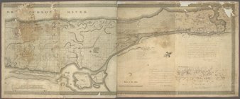
: NYPL Map Div. copy includes an embossed seal from the previous owner at the head of title: "Columbia College Library, New York."
x
Place
: New York (State)
x
Topic
: Streets
Sort by:
Title
Date created
Date digitized
Sequence
m
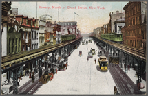
Bowery, North of Grand Street…
m
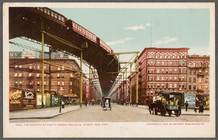
The Elevated at Eighth Avenue…
Records of searches in relati…
Hagstrom's map of lower New Y…
m
Hammond's complete map of New…
m
Map of the borough of Brookly…
Map of Bayside, third ward, b…
m
New quick reference street in…
Topographical map showing str…
Rand McNally & Co.'s new hand…
m
New guide map of New York Cit…
m
Topographical map of New York…
Map of the 23rd and 24th ward…
m
Oak and New Chambers Streets
m
Oak and New Chambers Streets
m
Oak and New Chambers Streets
m
Oak and New Chambers Streets
m
Oak and New Chambers Streets
Madison Avenue - Children pla…
m
Hagstrom's map of Brooklyn (N…
m
Hagstom's map of Long Island …
College of Physician and Surg…
This is such a "Friendly town…
An Italian mother, Lower East…
m
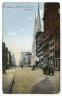
5th Avenue, north from 49th S…
m
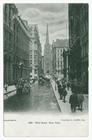
Wall Street, New York
m
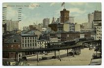
Elevated electric road, New Y…
m
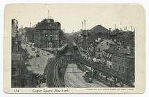
Cooper Square, New York
m
Broad Street, New York
m
Cooper Square, New York
m
Broad Street and curb brokers…
m
View looking north on Lenox A…
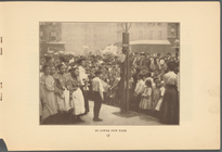
In Lower New York
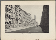
A typical New York street
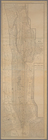
Map of New-York City
Map of New-York City
m
New York Life Building: Broad…
m
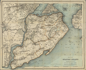
Map of Staten Island, Richmon…
Map of the 23rd and 24th ward…
Map of New York City between …
The heart of greater New York…
New York and Brooklyn
m
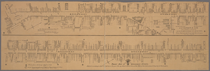
Map of the City of New York :…
Guide map to 92 acres of land…
Copy of map or survey showing…
m
Map of the city of New York a…
m
General map of the city of Ne…
Pocket map of Broadway, New Y…
Map of Staten Island, Richmon…
m
General map of the borough of…
1
2
3
Previous
Next
1
2
3
Previous
Next