Click to visit the main New York Public Library Homepage
The New York Public Library
Digital Collections
About Digital Collections
Browse
Search only public domain materials
Items
Collections
Divisions
Home
Search
Browse
About
Search only public domain materials
Items
Collections
Divisions
Digital Collections
Using Images
Using Data
Search
Filtered keyword search
Show filters
Hide filters
Show Only Public Domain
topic
Real property
1677
Business enterprises
467
Description and travel
111
History
90
Landowners
33
More
Less
name
Beers, F. W. (Frederick W.)
303
Everts, Ensign & Everts
175
F.W. Beers & Co
168
D.G. Beers & Co
155
Beers, D. G. (Daniel G.)
143
More
Less
collection
x
Atlases of the United States
place
x
New York (State)
Erie County
151
Erie County (N.Y.)
148
Westchester County
134
Westchester County (N.Y.)
134
More
Less
genre
Atlases
2036
Maps
1870
Prints
70
Title pages
16
Guidebooks
1
publisher
F. W. Beers & Co
148
E. Belcher-Hyde
112
Century Map Company
111
Andreas, Baskin & Burr
90
G.W. Bromley & Co
89
More
Less
division
Map Division
2037
type
cartographic
1938
text
110
still image
2
Date Range
to
Looking for this collection?
Atlases of the United States
3,868 items
2,037 results found for:
x
map
Filtering on:
x
Place
: New York (State)
x
Collection
: 2600a3f0-c5ec-012f-424e-58d385a7bc34
Sort by:
Relevance
Title
Date created
Date digitized
Sequence
m
Scarborough's official tour b…
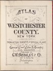
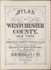
Atlas of Westchester County. …
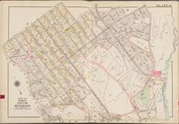
Index
Key
… [
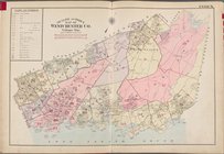
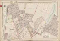
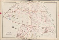
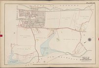
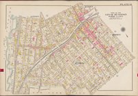
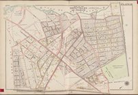
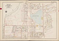
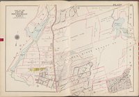
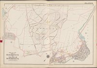
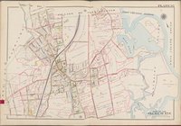
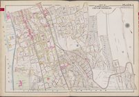
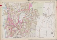
Map
bounded by Park
… [
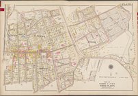
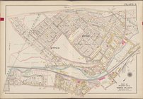
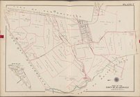
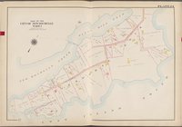
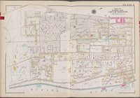
Map
bounded
… [
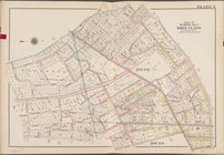
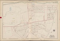
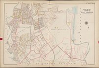
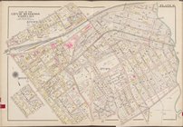
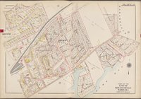
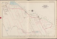
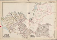
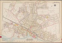
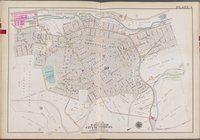
Map
bounded by Central
… [
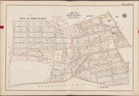
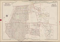
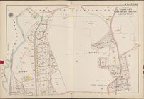
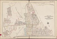
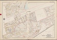
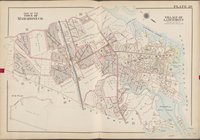
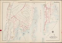
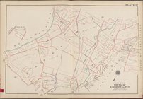
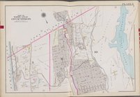
Map
bounded by Fisher
… [
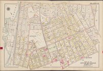
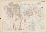
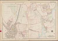
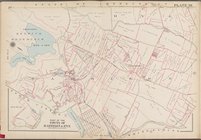
Map
bounded by Smith
… [
Map
bounded by Toen
… [
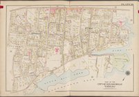
Map
bounded by City
… [
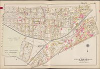
Map
bounded by Town
… [
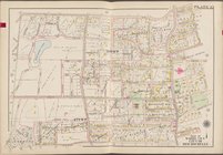
Map
bounded by Town
… [
Map
bounded by City
… [
Map
bounded by New
… [
Map
bounded by Town
… [
Map
bounded by Grand
… [
Map
bounded by W
… [
Map
bounded by Warren
… [
Map
bounded
… [
Map
bounded by Town
… [
Map
bounded by City
… [
Map
bounded
… [
Map
bounded by Main St
… [
Map
bounded
… [
Map
bounded
… [
Map
bounded
… [
Map
bounded by Titus
… [
Map
bounded
… [
Map
bounded
… [
Map
bounded
… [
Map
bounded by East
… [
Map
bounded by Weaver
… [
Map
bounded
… [
Map
bounded by Griffin
… [
Map
bounded by Town
… [
Map
bounded by Long
… [
Map
bounded by North
… [
Map
bounded by Town
… [
Map
bounded by Ridge
… [
Map
bounded by White
… [
Map
bounded by State
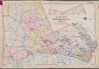
Atlas of Westchester County. …
Index
Key
… [
Map
bounded
… [
Map
bounded by High St
… [
Map
bounded
… [
Map
bounded
… [
Map
bounded by Town
1
2
3
4
5
6
7
8
9
Previous
Next
1
2
3
4
5
6
7
8
9
Previous
Next