Click to visit the main New York Public Library Homepage
The New York Public Library
Digital Collections
About Digital Collections
Browse
Search only public domain materials
Items
Collections
Divisions
Home
Search
Browse
About
Search only public domain materials
Items
Collections
Divisions
Digital Collections
Using Images
Using Data
Search
Filtered search
Show filters
Hide filters
Show Only Public Domain
topic
x
Real property
Fire insurance
5198
Cities & towns
5007
Business enterprises
468
Landowners
262
More
Less
name
Sanborn Map Company
5093
G.W. Bromley & Co
2125
Ullitz, Hugo
606
E.B. Hyde & Co
545
E. Belcher Hyde Map Company
488
More
Less
collection
Atlases of New York City
8354
Atlases of the United States
1677
Maps of New York City and State
296
Collection of broadside real estate maps announcing auctions of lots in early 19th century New York City
67
Photographic views of New York City, 1870's-1970's, from the collections of the New York Public Library
23
More
Less
place
x
New York (State)
New York
3149
Manhattan (New York, N.Y.)
1973
Brooklyn (New York, N.Y.)
812
New York (N.Y.)
787
More
Less
genre
Maps
10094
Atlases
1677
Cadastral maps
227
Indexes
126
Title pages
79
More
Less
publisher
Sanborn Map Company
5009
G.W. Bromley & Co
1997
E. Belcher Hyde
425
E. Robinson Co
246
F. W. Beers & Co
148
More
Less
division
Map Division
10267
Milstein Division
23
Manuscripts and Archives Division
20
No Division
1
type
cartographic
10172
text
337
still image
49
Date Range
to
10,441 results found
Filtering on:
x
Place
: New York (State)
x
Topic
: Real property
Sort by:
Title
Date created
Date digitized
Sequence
m
#4148-1 From Market & Hamilto…
m
#4321-5 Market and Cherry Sts…
13 lots of ground to be sold …
m
146 Cherry Street in the "Lun…
1st & 2nd Wards. [Map bounded…
1st & 3rd Wards. [Map bounded…
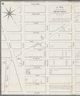
1st Ward. [Map bounded by Bow…
1st Ward. [Map bounded by Exc…
1st Ward. [Map bounded by Lib…
1st Ward. [Map bounded by Sto…
1st Ward. [Map bounded by Wes…
2nd & 4th Wards. [Map bounded…
2nd Ward. [Map bounded by Bro…
2nd Ward. [Map bounded by Pea…
2nd Ward. [Map bounded by Wil…
m
3 three story brick houses in…
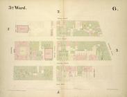
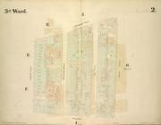
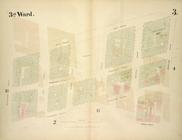
3rd Ward. [Map bounded by Col…
3rd Ward. [Map bounded by Ful…
3rd Ward. [Map bounded by Gre…
3rd Ward. [Map bounded by Rob…
3rd Ward. [Map bounded by Wes…
m
4044-1 Cherry St. lkg. West f…
m
4044-2 Market St. lkg. North …
m
4044-6 Lkg. South on Catherin…
m
4044-7 Lkg. West on Monroe St…
m
4044-8 Lkg. South on Market S…
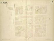
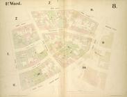
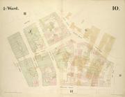
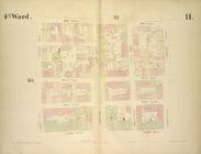
4th Ward. [Map bounded by Cat…
4th Ward. [Map bounded by Gol…
4th Ward. [Map bounded by Pec…
4th Ward. [Map bounded by Roo…
4th Ward.[Map bounded by Oak …
m
51 lots to be sold by R.R. Mi…
A chorographical map of the p…
A chorographical map of the p…
A chorographical map of the p…
m
A chorographical map of the p…
A map of a tract of land in t…
A map of part of the land in …
A map of property belonging t…
A map of the Manor Renselaerw…
A map of the village of Willi…
A new map of the city of Buff…
A plan of the Manor of Philip…
A plott of ye situations of t…
A topographical map of Lewis …
A topographical map of Steube…
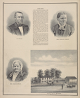
A. C. Osborn. ; Res. of A. C.…
A. H. Taylor's Central Valley…
A. T. Miner. ; Mrs. Caroline …
Acres of Land, Population, Dw…
1
2
3
4
5
6
7
8
9
10
…
41
42
Previous
Next
1
2
3
4
5
6
7
8
9
10
…
41
42
Previous
Next