Click to visit the main New York Public Library Homepage
The New York Public Library
Digital Collections
About Digital Collections
Browse
Search only public domain materials
Items
Collections
Divisions
Home
Search
Browse
About
Search only public domain materials
Items
Collections
Divisions
Digital Collections
Using Images
Using Data
Search
Filtered keyword search
Show filters
Hide filters
Show Only Public Domain
topic
Real property
10399
Fire insurance
5221
Cities & towns
5007
City planning
993
Social conditions
944
More
Less
name
Sanborn Map Company
5095
G.W. Bromley & Co
2180
M.I.T. Press
942
New York (N.Y.). City Planning Commission
942
Ullitz, Hugo
735
More
Less
collection
Atlases of New York City
9795
Atlases of the United States
2037
Maps of New York City and State
1306
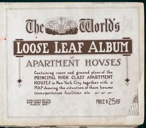
The World's loose leaf album of apartment houses: containing views and ground plans of the principal high class apartment houses in New York City, together with a map showing the situation of these houses, transportation facilities, etc
304
New York World's Fair 1939 and 1940 Incorporated records
151
More
Less
place
x
New York (State)
New York
5619
Manhattan (New York, N.Y.)
2285
New York (N.Y.)
2238
Brooklyn (New York, N.Y.)
999
More
Less
genre
Maps
13020
Atlases
2036
Photographs
557
Floor plans
307
Cadastral maps
247
More
Less
publisher
Sanborn Map Company
5009
G.W. Bromley & Co
2051
MIT Press
942
E. Belcher Hyde
557
N.Y. World
304
More
Less
division
Map Division
13151
Milstein Division
306
Manuscripts and Archives Division
163
Wallach Division: Print Collection
124
Wallach Division: Photography Collection
93
More
Less
type
cartographic
12153
still image
1666
text
704
moving image
1
Date Range
to
Looking for one of these collections?
Atlases of New York City
11,722 items
Atlases of the United States
3,868 items
Maps of New York City and State
2,059 items
The World's loose leaf album of apartment houses: containing views and ground plans of the principal high class apartment houses in New York City, together with a map showing the situation of these houses, transportation facilities, etc.
304 items
14,041 results found for:
x
map
Filtering on:
x
Place
: New York (State)
Sort by:
Relevance
Title
Date created
Date digitized
Sequence
Results 14001 - 14041
m
Street guide of Manhattan and…
collection:
Maps
of New York City and State
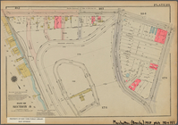
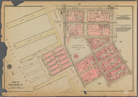
Bounded by W. 26th Street, Ni…
Bounded by E. 71st Street, Th…
Bounded by Tiemann Place, W. …
Bounded by Dyckman Street, Sh…
m
…
map
m
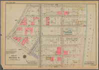
Map
of the City of New York and its
Bounded by W. 47th Street, Br…
East River Heights, first war…
collection:
Maps
of New York City and State
Railroad suburbs between Holl…
collection:
Maps
of New York City and State
m
King's birds-eye view of Broo…
collection:
Maps
of New York City and State
Map
of Jamaica in the 4th ward, borough
Bounded by E. 20th Street, Av…
The Cord Meyer Development Co.
map
showing
Bounded by W. 178th Street, (…
Bounded by W. 20th Street, Se…
Map
of Kissena Park, third ward borough
Plan of East River Wharves, P…
m
Map
of the borough of Brooklyn, New York …
Map
of Bellaire Estates …
Greater New York and contigou…
collection:
Maps
of New York City and State
Map
of Bayside, third ward, borough
m
Flushing Bay, Long Island, N.…
collection:
Maps
of New York City and State
Werpoes, a village of the Man…
collection:
Maps
of New York City and State
Bounded by Avenue A, E. 91st …
Yorkville and East Harlem in …
collection:
Maps
of New York City and State
m
Borough of Brooklyn, 5th cong…
collection:
Maps
of New York City and State
Southern part of the borough …
collection:
Maps
of New York City and State
Bounded by W. 14th Street, Ni…
The Long Island City and Newt…
collection:
Maps
of New York City and State
Bounded by W. 214th Street, (…
Outline and Index
Map
of Volume Two
The northwesterly part of the…
collection:
Maps
of New York City and State
Street Index: [Abington Squar…
The district of Pelham Neck, …
collection:
Maps
of New York City and State
Bounded by Nichols Place, Pay…
Bounded by W. 122nd Street, E…
Bounded by W. 184th Street, L…
Southeastern part of the boro…
collection:
Maps
of New York City and State
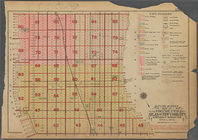
Map
of the borough of Brooklyn …
note:
Color block demographic
map
showing ethnic
The southwestern part of the …
collection:
Maps
of New York City and State
1
2
…
48
49
50
51
52
53
54
55
56
57
Previous
Next
1
2
…
48
49
50
51
52
53
54
55
56
57
Previous
Next