Click to visit the main New York Public Library Homepage
The New York Public Library
Digital Collections
About Digital Collections
Browse
Search only public domain materials
Items
Collections
Divisions
Home
Search
Browse
About
Search only public domain materials
Items
Collections
Divisions
Digital Collections
Using Images
Using Data
Search
Filtered keyword search
Show filters
Hide filters
Show Only Public Domain
topic
Real property
10172
Fire insurance
5205
Cities & towns
4996
Business enterprises
402
Railroads
317
More
Less
name
Sanborn Map Company
5080
G.W. Bromley & Co
2113
Ullitz, Hugo
702
E.B. Hyde & Co
516
E. Belcher Hyde Map Company
458
More
Less
collection
Atlases of New York City
8716
Atlases of the United States
1938
Maps of New York City and State
1298
Collection of broadside real estate maps announcing auctions of lots in early 19th century New York City
67
Maps of North America
45
More
Less
place
x
New York (State)
New York
3974
Manhattan (New York, N.Y.)
2273
New York (N.Y.)
1220
Brooklyn (New York, N.Y.)
953
More
Less
genre
Maps
12022
Atlases
1937
Cadastral maps
246
Prints
77
Index maps
67
More
Less
publisher
Sanborn Map Company
4998
G.W. Bromley & Co
1985
E. Belcher Hyde
530
E. Robinson Co
241
F. W. Beers & Co
148
More
Less
division
Map Division
11963
Manuscripts and Archives Division
32
Rare Book Division
11
Wallach Division: Print Collection
7
General Research Division
6
More
Less
type
x
cartographic
text
160
still image
15
Date Range
to
Looking for one of these collections?
Atlases of New York City
11,722 items
Atlases of the United States
3,868 items
Maps of New York City and State
2,059 items
12,153 results found for:
x
New York Maps
Filtering on:
x
Place
: New York (State)
x
Type
: cartographic
Sort by:
Relevance
Title
Date created
Date digitized
Sequence
Results 251 - 300
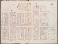
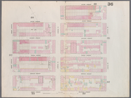
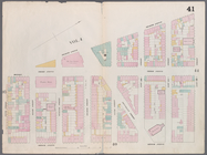
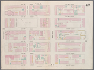
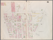
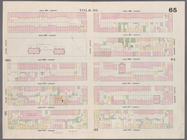
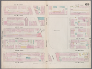
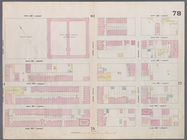
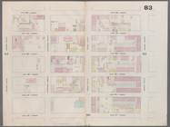
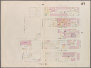
Map
bounded by Rivington Street, Ridge
use:
… partner (e.g.,
New
York
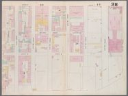
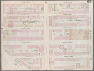
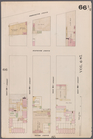
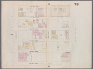
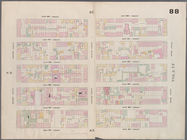
Map
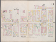
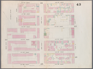
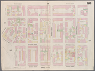
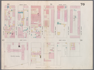
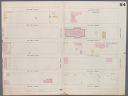
bounded by Henry Street, Grand
use:
… partner (e.g.,
New
York
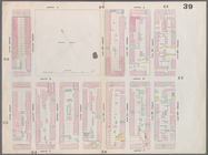
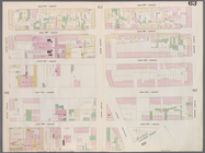
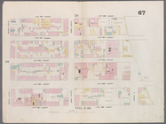
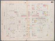
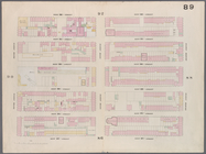
Map
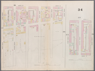
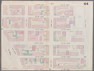
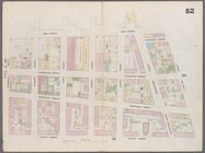
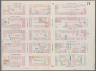
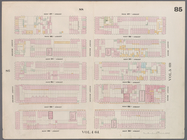
bounded by Rivington Street, Cannon
use:
… partner (e.g.,
New
York
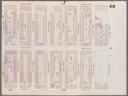
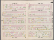
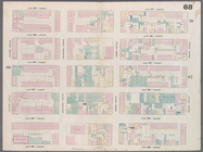
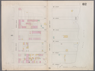
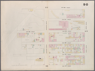
Map
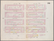
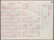
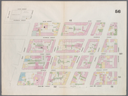
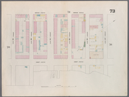
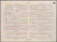
bounded by Rivington Street, East
use:
… partner (e.g.,
New
York
Map
bounded by Houston Street, Avenue D
use:
… partner (e.g.,
New
York
Map
bounded by Houston Street, Allen
use:
… partner (e.g.,
New
York
Map
bounded by 8th Street, East river, 3rd
use:
… partner (e.g.,
New
York
Map
bounded by 6th Street, Avenue D, Houston
use:
… partner (e.g.,
New
York
Map
bounded by 5th Street, Avenue A, 6th
use:
… partner (e.g.,
New
York
Map
bounded by East 15th Street, East River
use:
… partner (e.g.,
New
York
Map
bounded by East 13th Street, Avenue C
use:
… partner (e.g.,
New
York
Map
bounded by East 12th Street, Avenue A
use:
… partner (e.g.,
New
York
Map
bounded by East 12th Street, Second
use:
… partner (e.g.,
New
York
Map
bounded by East 17th Street, Avenue A
use:
… partner (e.g.,
New
York
Map
bounded by East 17th Street, Second
use:
… partner (e.g.,
New
York
Map
bounded by East 22nd Street, East River
use:
… partner (e.g.,
New
York
Map
bounded by East 22nd Street, Second
use:
… partner (e.g.,
New
York
Map
bounded by 4th Street, Green Street
use:
… partner (e.g.,
New
York
Map
bounded by West 10th Street, Hudson
use:
… partner (e.g.,
New
York
Map
bounded by Bleeker Street, West 10th
use:
… partner (e.g.,
New
York
Map
bounded by West 12th Street, Gansevoort
use:
… partner (e.g.,
New
York
Map
bounded by West 17th Street, Sixth
use:
… partner (e.g.,
New
York
Map
bounded by West 17th Street, Eighth
use:
… partner (e.g.,
New
York
Map
bounded by West 22nd Street, Sixth
use:
… partner (e.g.,
New
York
Map
bounded by West 22nd Street, Eighth
use:
… partner (e.g.,
New
York
Map
bounded by West 19th Street, Tenth
use:
… partner (e.g.,
New
York
Map
bounded by West 22nd Street, Tenth
use:
… partner (e.g.,
New
York
Map
bounded by East 26th Street, East River
use:
… partner (e.g.,
New
York
Map
bounded by East 27th Street, Second
use:
… partner (e.g.,
New
York
Map
bounded by West 27th Street, East 27th
use:
… partner (e.g.,
New
York
Map
bounded by East 32nd Street, East River
use:
… partner (e.g.,
New
York
Map
bounded by East 32nd Street, Second
use:
… partner (e.g.,
New
York
Map
bounded by East 37th Street, East River
use:
… partner (e.g.,
New
York
Map
bounded by East 37th Street, Second
use:
… partner (e.g.,
New
York
Map
bounded by West 37th Street, East 37th
use:
… partner (e.g.,
New
York
Map
bounded by East 42nd Street, East River
use:
… partner (e.g.,
New
York
Map
bounded by East 42nd Street, Second
use:
… partner (e.g.,
New
York
Map
bounded by West 42nd Street, East 42nd
use:
… partner (e.g.,
New
York
Map
bounded by East 47th Street, East River
use:
… partner (e.g.,
New
York
Map
bounded by East 47th Street, Second
use:
… partner (e.g.,
New
York
Map
bounded by West 47th Street, East 47th
use:
… partner (e.g.,
New
York
Map
bounded by East 52nd Street, East River
use:
… partner (e.g.,
New
York
Map
bounded by East 52nd Street, Second
use:
… partner (e.g.,
New
York
Map
bounded by West 52nd Street, East 52nd
use:
… partner (e.g.,
New
York
Map
bounded by West 27th Street, Sixth
use:
… partner (e.g.,
New
York
Map
bounded by West 27th Street, Eighth
use:
… partner (e.g.,
New
York
Map
bounded by West 27th Street, Tenth
use:
… partner (e.g.,
New
York
Map
bounded by West 32nd Street, Sixth
use:
… partner (e.g.,
New
York
Map
bounded by West 32nd Street, Eighth
use:
… partner (e.g.,
New
York
Map
bounded by West 32nd Street, Tenth
use:
… partner (e.g.,
New
York
1
2
3
4
5
6
7
8
9
10
…
48
49
Previous
Next
1
2
3
4
5
6
7
8
9
10
…
48
49
Previous
Next