Click to visit the main New York Public Library Homepage
The New York Public Library
Digital Collections
About Digital Collections
Browse
Search only public domain materials
Items
Collections
Divisions
Home
Search
Browse
About
Search only public domain materials
Items
Collections
Divisions
Digital Collections
Using Images
Using Data
Search
Filtered keyword search
Show filters
Hide filters
Show Only Public Domain
topic
History
199
Railroads
83
Real property
75
Landowners
73
Real propery auctions
67
More
Less
name
Colles, Christopher, 1738-1816
53
Tiebout, Cornelius, 1777-1832
53
Siegel, Michael
49
James Bleecker & Sons
34
American Civil War (1861-1865)
29
More
Less
collection
Maps of North America
455
Lawrence H. Slaughter Collection of English maps, charts, globes, books and atlases
144
Collection of broadside real estate maps announcing auctions of lots in early 19th century New York City
67
In motion : the African-American migration experience: Maps by Michael Siegel
49
Maps of New York City and State
34
More
Less
place
x
United States
New York (State)
110
New York
78
Middle Atlantic States
73
Manhattan (New York, N.Y.)
70
More
Less
genre
Maps
845
Illustrations
72
Cadastral maps
69
Charts
52
Graphs
49
More
Less
publisher
Rutgers Cartography
48
publisher not identified
28
Printed for J. Stockdale
26
S. E. Morse & co.,
18
M. Carey
17
More
Less
division
Map Division
740
Schomburg Jean Blackwell Hutson Research and Reference Division
56
Wallach Division: Picture Collection
22
Rare Book Division
20
Wallach Division: Print Collection
14
More
Less
type
cartographic
825
still image
59
text
25
notated music
1
Date Range
to
Looking for one of these collections?
Maps of North America
3,345 items
Lawrence H. Slaughter Collection of English maps, charts, globes, books and atlases
1,252 items
875 results found for:
x
map
Filtering on:
x
Place
: United States
Sort by:
Relevance
Title
Date created
Date digitized
Sequence
Results 251 - 300
Carte génerale des Etats-Unis…
note:
… to Early
Maps
of the Middle
A new and correct
map
of North America
note:
… to Early
Maps
of the Middle
m
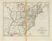
Map
of the United States of North America
note:
… to Early
Maps
of the Middle
A
map
of the United States of America
note:
Jolly, D.C.
Maps
of America in periodicals
Map
of the country which was the scene
note:
Mapping
the Nation (NEH grant, 2015-2018)…
Seat of war in Virginia : she…
note:
Mapping
the Nation (NEH grant, 2015-2018)…
Map
showing the approaches to Richmond
note:
Mapping
the Nation (NEH grant, 2015-2018)…
Map
of the seat of war in Virginia
note:
Mapping
the Nation (NEH grant, 2015-2018)…
Map
of the U.S.
note:
Mapping
the Nation (NEH grant, 2015-2018)…
Topographical
map
, United States
note:
Mapping
the Nation (NEH grant, 2015-2018)…
Yellowstone National Park, Bi…
note:
… catalog of the
Map
South-Carolina and parts adja…
note:
… Ramsay 1785.
Map
also
Map
of the surveyed portions of Oregon
note:
NYPL
Map
Div. copy
Map
exhibiting the fixed location
note:
NYPL
Map
Div. copy
m
Mitchell's new national
map
exhibiting
note:
engraved by W. Williams,
map
engraver
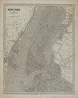
Map
of the United States of America
New York and vicinity.
note:
Issued in parts;
maps
dated 1841-1845.
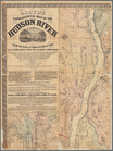
Leavitt's
map
with views of the White
note:
Pictorial
map
of the White Mountains with 4
Map
of part of Virginia, Maryland
note:
Map
of the coast of Virginia, Maryland
Colton's new railroad & county
map
note:
….
Map
is colored to show
To accompany Willard's histor…
note:
NYPL
Map
Div. copy has accession no
Sketch of the battle of Hobki…
note:
NYPL
Map
Div. copy pasted on sheet 51 x 36
Map
illustrating the plan of the defences
note:
NYPL
Map
Div. copy has accession no
m
Lloyd's topographical
map
of the Hudson
note:
Wall
map
.
First l. h. district
note:
Mapping
the Nation (NEH grant, 2015-2018)…
Plan der Descente und der Aff…
note:
Mapping
the Nation (NEH grant, 2015-2018)…
Neueste Post-u. Eisenbahn Kar…
note:
Mapping
the Nation (NEH grant, 2015-2018)…
Plan of the siege of York Tow…
note:
Mapping
the Nation (NEH grant, 2015-2018)…
The United States of North Am…
note:
… to Early
Maps
of the Middle
Karte der katholischen Dioece…
note:
… to Early
Maps
of the Middle
Partie orientale du Canada ou…
note:
Kershaw, K.A. Early printed
maps
of Canada
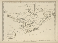
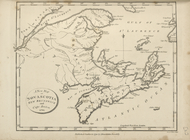
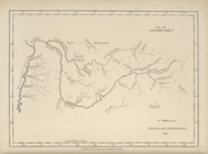
A new
map
of Upper and Lower Canada, 1794.
note:
… to Early
Maps
of the Middle
A new
map
of Nova Scotia, New Brunswick
note:
… to Early
Maps
of the Middle
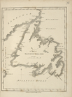
A
map
of Newfoundland.
note:
… to Early
Maps
of the Middle
A
map
of Vermont.
note:
… to Early
Maps
of the Middle
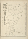
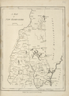
A
map
of New Hampshire.
note:
… to Early
Maps
of the Middle
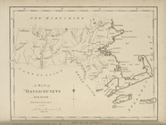
A
map
of Massachusets [sic] from
note:
… to Early
Maps
of the Middle
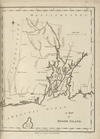
A
map
of Rhode Island.
note:
… to Early
Maps
of the Middle
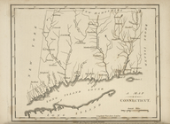
A
map
of Connecticut.
note:
… to Early
Maps
of the Middle
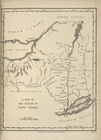
A
map
of the State of New York.
note:
… to Early
Maps
of the Middle
A
map
of Pennsylvania, from the best
note:
… to Early
Maps
of the Middle
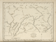
A
map
of the Back Settlements.
note:
… to Early
Maps
of the Middle
A
map
of Kentucky, drawn from actual
note:
… to Early
Maps
of the Middle
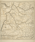
A
map
of North Carolina, from the best
note:
… to Early
Maps
of the Middle
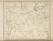
A
map
of the Tennessee Government, 1794.
note:
… to Early
Maps
of the Middle
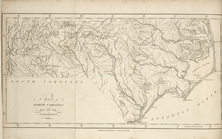
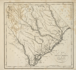
A
map
of South Carolina, from the best
note:
… to Early
Maps
of the Middle
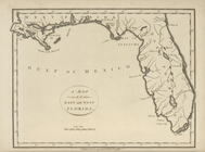
A
map
of the East and West Florida.
note:
… to Early
Maps
of the Middle
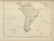
A
map
of South America and the adjacent
note:
… to Early
Maps
of the Middle
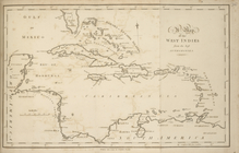
A
map
of the West Indies, from the best
note:
… to Early
Maps
of the Middle
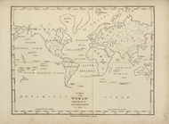
A
map
of the world, exhibiting all the new
note:
… to Early
Maps
of the Middle
1
2
3
4
Previous
Next
1
2
3
4
Previous
Next