Click to visit the main New York Public Library Homepage
The New York Public Library
Digital Collections
About Digital Collections
Browse
Search only public domain materials
Items
Collections
Divisions
Home
Search
Browse
About
Search only public domain materials
Items
Collections
Divisions
Digital Collections
Using Images
Using Data
Search
Filtered search
Show filters
Hide filters
Show Only Public Domain
topic
x
Real property
Landowners
22
African Americans
9
Cities and towns
7
Buildings
6
More
Less
name
Beers, F. W. (Frederick W.)
4
H.F. Walling's Map Establishment
4
Walling, Henry Francis, 1825-1888
4
Lee & Marsh
3
Prindle, A. B
3
More
Less
collection
Maps of North America
19
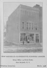
Prospectus of the New Rochelle Co-operative Business League, incorporated under laws of the State of New York, 1905
9
Maps of New York City and State
7
Atlases of New York City
5
Atlases of the United States
2
More
Less
place
New York (State)
11
New Rochelle (N.Y.)
9
Ohio
6
Maine
4
New York Metropolitan Area
4
More
Less
genre
Maps
27
Cadastral maps
20
Illustrations
15
Photographs
9
Pictorial works
4
More
Less
publisher
New Rochelle Pioneer Print
9
F. W. Beers, A. D. Ellis & others
3
Lee & Marsh
3
publisher not identified
2
A. Pomeroy
1
More
Less
division
Map Division
33
Schomburg Jean Blackwell Hutson Research and Reference Division
9
Manuscripts and Archives Division
1
type
x
still image
cartographic
25
text
4
Date Range
to
43 results found
Filtering on:
x
Rights
: Public Domain
x
Topic
: Real property
x
Type
: still image
Sort by:
Title
Date created
Date digitized
Sequence
m
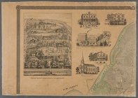
Map of property at Fairmount…
m
Topographical map of the coun…
m
Map of Clinton Co., New York:…
m
City of Toledo, Lucas Co., Oh…
Map of Cleveland and its envi…
Hyde Park : [Chicago, Illinoi…
m
Map of Dutchess Co., New York…
New Rochelle Co-operative Bus…
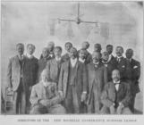
Directors of the New Rochelle…
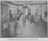
Interior of store - first flo…
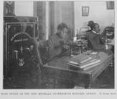
Main office of the New Rochel…
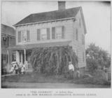
"The Douglass" ; 97 Horton Av…
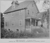
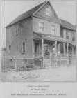
"The Washington" ; 24 Brook S…
"The Anderson" ; 21 DeWitt Pl…
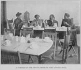
A corner of the dining room i…
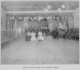
Main auditorium of League Hal…
m
Map of Multnomah County, Oreg…
m
Map number sixteen : [Berkele…
Map of Clinton County, Ohio
m
Map of Columbiana County, Ohi…
m
Map of Trumbull County, Ohio
Map of Perry County, Ohio
Map of the city of Davenport …
Allen's outline map of Ottumw…
m
Map of Clearfield Co., Pennsy…
Map of the State of Georgia
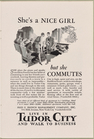
She's a NICE GIRL, but she CO…
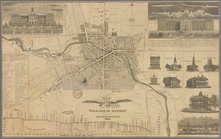
Map of the village of Auburn
Map of Waldo County, Maine: f…
m
A topographical map of Lincol…
m
Map of the county of Berkshir…
Town & village of Ovid, Senec…
m
A topographical map of Lincol…
Map of the village of Hermann…
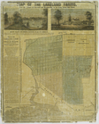
Map of the Lakeland farms, ne…
m
Map of Staten Island, or Rich…
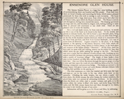
Ensenore Glenn House.; George…
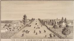
Farm residence of Jacob Hoste…
Plate 73: Residence of A.S. D…
Property of F.A. Halstead, Be…
Old Dutch Church, Sleepy Holl…
Reference Plate of Strips for…
Explanation
End of results
|
Top