Click to visit the main New York Public Library Homepage
The New York Public Library
Digital Collections
About Digital Collections
Browse
Search only public domain materials
Items
Collections
Divisions
Home
Search
Browse
About
Search only public domain materials
Items
Collections
Divisions
Digital Collections
Using Images
Using Data
Search
Filtered keyword search
Show filters
Hide filters
Show Only Public Domain
topic
x
Real property
Fire insurance
5198
Cities & towns
5007
Landowners
483
Business enterprises
468
More
Less
name
Sanborn Map Company
5103
G.W. Bromley & Co
2177
Ullitz, Hugo
606
E.B. Hyde & Co
545
E. Belcher Hyde Map Company
488
More
Less
collection
Atlases of New York City
8459
Atlases of the United States
1859
Maps of North America
359
Maps of New York City and State
299
Collection of broadside real estate maps announcing auctions of lots in early 19th century New York City
67
More
Less
place
New York (State)
10398
New York
3106
Manhattan (New York, N.Y.)
1969
New York (N.Y.)
822
Brooklyn (New York, N.Y.)
811
More
Less
genre
Maps
10738
Atlases
1856
Cadastral maps
567
Indexes
126
Title pages
80
More
Less
publisher
Sanborn Map Company
5009
G.W. Bromley & Co
1997
E. Belcher Hyde
425
E. Robinson Co
246
F. W. Beers & Co
148
More
Less
division
Map Division
10889
Milstein Division
29
No Division
1
type
cartographic
10811
text
331
still image
33
Date Range
to
Looking for one of these collections?
Atlases of New York City
11,722 items
Maps of North America
3,345 items
Maps of New York City and State
2,059 items
11,049 results found for:
x
map
Filtering on:
x
Rights
: Public Domain
x
Topic
: Real property
Sort by:
Relevance
Title
Date created
Date digitized
Sequence
Results 11001 - 11049
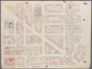
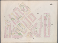
Map
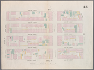
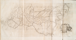
bounded by Spring Street, Clarke
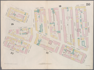
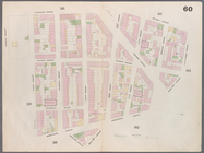
Map
bounded by Hamersley Street, Houston
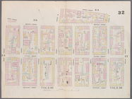
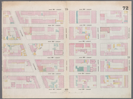
Map
bounded by Houston Street, Willett
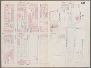
Map
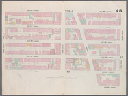
bounded by East 20th Street, East River
collection:
Map
bounded by East 20th Street, East
Map
bounded by West 18th Street, East 18th
collection:
Map
bounded by West 18th Street, East 18
Map
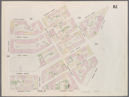
bounded by West 22nd Street, East 22nd
collection:
Map
bounded by West 22nd Street, East 22
Map
bounded by Bleeker Street, Cornelia
Map
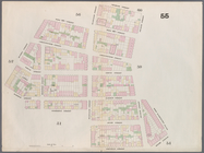
bounded by Charles Street, 4th Street
Map
bounded by 12th Street, Sixth Avenue
Map
bounded by West 13th Street, Greenwich
collection:
Map
bounded by West 13th Street
Map
bounded by West 32nd Street, East 32nd
collection:
Map
bounded by West 32nd Street, East 32
Outline and index.
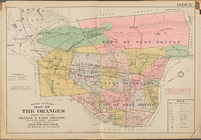
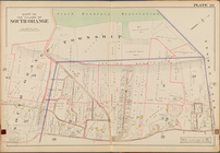
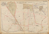
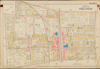
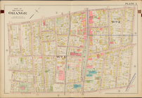
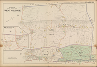
Map
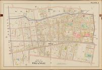
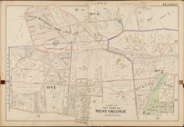
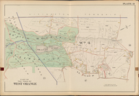
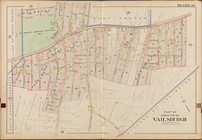
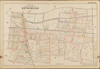
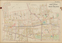
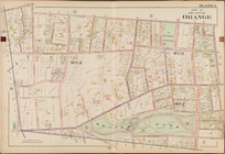
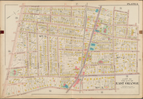
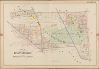
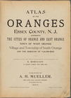
of the Oranges
… No. 5 [
Map
bounded
… Page Plate No. 7 [
Map
… Page Plate No. 9 [
Map
… Page Plate No. 10 [
Map
… Page Plate No. 11 [
Map
… Page Plate No. 12 [
Map
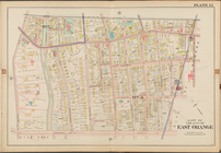
… Page Plate No. 14 [
Map
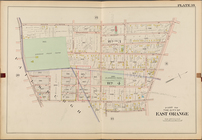
… Page Plate No. 15 [
Map
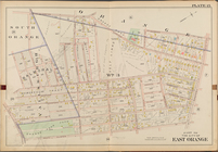
… Page Plate No. 16 [
Map
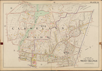
… Page Plate No. 17 [
Map
… Page Plate No. 19 [
Map
… No. 20 [
Map
bounded
… Page Plate No. 22 [
Map
… Page Plate No. 23 [
Map
… Plate No. 26 [
Map
… No. 1 [
Map
bounded
… No. 2 [
Map
bounded
… Page Plate No. 3 [
Map
… Page Plate No. 4 [
Map
… No. 6 [
Map
bounded
… Page Plate No. 8 [
Map
… No. 13 [
Map
bounded
… Page Plate No. 18 [
Map
… Page Plate No. 21 [
Map
… Page Plate No. 24 [
Map
… Page Plate No. 25 [
Map
Map
no. III : [to accompany A bill
note:
…, and
maps
coloured, three
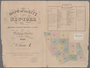
Maps
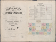
of the city of New -York
Maps
of the city of New York …
Maps
of the city of New-York
…
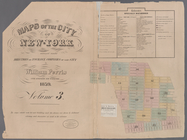
Maps
of the city of New-York
Maps
of the city of New-York
…
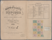
Maps
of the city of New-York
…
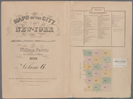
Maps
of the city of New-York
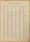
Index to street names
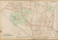
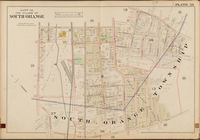
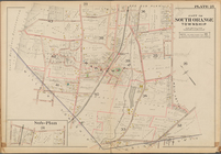
Atlas of the Oranges, Essex C…
m
Maps
of property in the city of New York
note:
… index,
map
of 277 Pearl Street),
map
leaves 1
1
2
…
36
37
38
39
40
41
42
43
44
45
Previous
Next
1
2
…
36
37
38
39
40
41
42
43
44
45
Previous
Next