Click to visit the main New York Public Library Homepage
The New York Public Library
Digital Collections
About Digital Collections
Browse
Search only public domain materials
Items
Collections
Divisions
Home
Search
Browse
About
Search only public domain materials
Items
Collections
Divisions
Digital Collections
Using Images
Using Data
Search
Filtered keyword search
Show filters
Hide filters
Show Only Public Domain
topic
Real property
1985
Parks
1243
Streets
615
Office buildings
318
Dwellings
298
More
Less
name
Federal Art Project (New York, N.Y.)
1912
Abbott, Berenice, 1898-1991
1911
G.W. Bromley & Co
1672
E. & H.T. Anthony (Firm)
495
Bromley, George Washington
405
More
Less
collection
Robert N. Dennis collection of stereoscopic views
2354
Atlases of New York City
1954
Changing New York
1866
Maps of New York City and State
451
Farm Security Administration Photographs
71
More
Less
place
Manhattan (New York, N.Y.)
6759
New York (State)
6460
New York
5897
New York (N.Y.)
5041
Central Park (New York, N.Y.)
1023
More
Less
genre
Photographs
4348
Maps
2447
Stereographs
2354
Cadastral maps
84
Index maps
49
More
Less
publisher
G.W. Bromley & Co
1624
Perris & Browne
124
William Perris
105
G.W. Bromley
49
E. & H.T. Anthony (Firm)
33
More
Less
division
Wallach Division: Photography Collection
4293
Map Division
2360
Milstein Division
62
Wallach Division: Print Collection
27
Wallach Division: Picture Collection
6
More
Less
type
still image
4395
cartographic
2491
text
93
notated music
5
Date Range
to
Looking for this collection?
Changing New York
2,194 items
6,900 results found for:
x
"Manhattan (New York, N.Y.)"
Filtering on:
x
Rights
: Public Domain
Sort by:
Relevance
Title
Date created
Date digitized
Sequence
Results 751 - 800
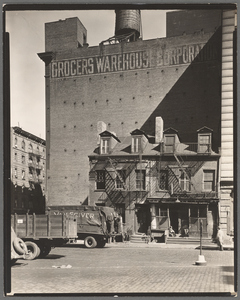
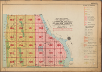
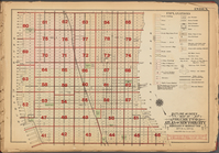
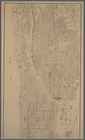
Outline and Index Map of Volu…
Outline and Index Map of Volu…
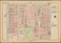
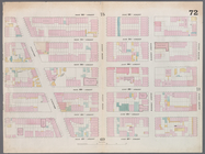
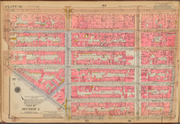
Plate 154, Part of Section 7:…
Plate 85, Part of Section 5: …
Plate 57, Part of Section 3: …
Survey of a "Certain neck of …
m
Manhattan: 2nd Avenue - 71st …
m
Manhattan: Christopher Street…
Map bounded by West 57th Stre…
Map bounded by Battery Place,…
Map bounded by Rector Street,…
Map bounded by Pearl Street, …
Map bounded by Laight Street,…
Map bounded by Spring Street,…
Map bounded by Hamersley Stre…
Map bounded by Houston Street…
Map bounded by East 20th Stre…
Map bounded by West 18th Stre…
Map bounded by West 22nd Stre…
Map bounded by Bleeker Street…
Map bounded by Charles Street…
Map bounded by 12th Street, S…
Map bounded by West 13th Stre…
Map bounded by West 32nd Stre…
m
The modern century girl
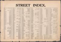
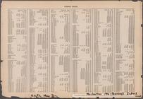
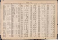
Street Index [Arlington Squar…
Street Index [Haven Avenue - …
Street Index [Water Street - …
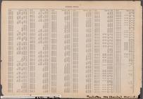
Street Index [80th Street - 2…
New York and environs
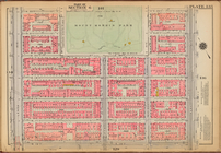
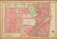
Plate 135: [Bounded by W. 122…
m
Map of Manhattan, City of New…
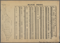
Block Index
Plate 94: [Bounded by W. 89th…
m
First aid class, American Red…
Plate 52, Part of Section 3: …
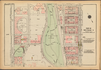
Plate 40: Plan of East River …
Plate 88, Part of Section 4: …
Plate 139: [Bounded by W. 126…
Street Index: [80th Street E.…
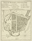
Ville de Manathe ou Nouvelle-…
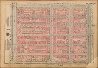
Plate 13, Part of Section 1: …
Plate 31, Part of Section 2: …
Plate 144: [Bounded by W. 133…
Plate 175, Part of Section 8:…
Plate 32: [Bounded by W. 14th…
Plate 8: [Bounded by Franklin…
Plate 150, Part of Section 7:…
Plate 129, Part of Section 6:…
Plate 96, Part of Section 4: …
1
2
3
4
5
6
7
8
9
10
…
27
28
Previous
Next
1
2
3
4
5
6
7
8
9
10
…
27
28
Previous
Next