Click to visit the main New York Public Library Homepage
The New York Public Library
Digital Collections
About Digital Collections
Browse
Search only public domain materials
Items
Collections
Divisions
Home
Search
Browse
About
Search only public domain materials
Items
Collections
Divisions
Digital Collections
Using Images
Using Data
Search
Filtered keyword search
Show filters
Hide filters
Show Only Public Domain
topic
Real property
65
Landowners
33
Post roads
14
Canals
3
Distances, etc
3
More
Less
name
Burr, David H., 1803-1875
145
Rawdon, Clark & Co
77
Rawdon, Wright & Co
77
De Witt, Simeon, 1756-1834
53
New York (State). Surveyor General
48
More
Less
collection
x
Atlases of the United States
place
New York (State)
148
New York (N.Y.)
92
New York Metropolitan Area
26
Clinton County (N.Y.)
23
United States
21
More
Less
genre
Maps
211
Atlases
185
publisher
For sale by the principal booksellers
67
Stone and Clark
27
D. H. Burr
26
Stone and Clark,
26
Beers, Ellis & Soule
24
More
Less
division
Map Division
212
type
cartographic
211
text
1
Date Range
to
212 results found for:
x
EARLY
Filtering on:
x
Collection
: Atlases of the United States
For more collection details, visit the
Atlases of the United States collection page
.
Sort by:
Relevance
Title
Date created
Date digitized
Sequence
Sketch of the
Early
History of Clinton County.
note:
Includes a sketch of the
early
history
Sketch of the
Early
History of Clinton County
note:
Includes a sketch of the
early
history
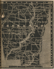
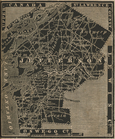
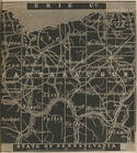
Chenango County.
note:
… to
Early
Maps of the Middle
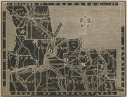
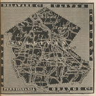
Clinton County.
note:
… to
Early
Maps of the Middle
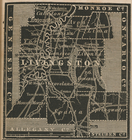
Livingston County.
note:
… to
Early
Maps of the Middle
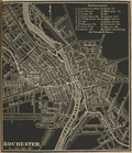
Rochester City.
note:
… to
Early
Maps of the Middle
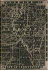
Jefferson County.
note:
… to
Early
Maps of the Middle
Allegany County.
note:
… to
Early
Maps of the Middle
Broome County.
note:
… to
Early
Maps of the Middle
Cattaraugus County.
note:
… to
Early
Maps of the Middle
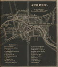
Auburn.
note:
… to
Early
Maps of the Middle
Chautauque County.
note:
… to
Early
Maps of the Middle
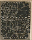
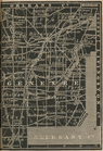
Cortland County.
note:
… to
Early
Maps of the Middle
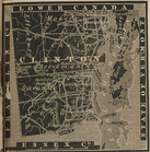
Essex County.
note:
… to
Early
Maps of the Middle
Franklin County.
note:
… to
Early
Maps of the Middle
Genesee County.
note:
… to
Early
Maps of the Middle
Lewis County.
note:
… to
Early
Maps of the Middle
Yates County.
note:
… to
Early
Maps of the Middle
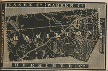
Hamilton County.
note:
… to
Early
Maps of the Middle
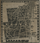
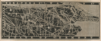
Warren County.
note:
… to
Early
Maps of the Middle
Sullivan County.
note:
… to
Early
Maps of the Middle
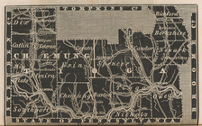
Chemung and Tioga Counties.
note:
… to
Early
Maps of the Middle
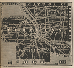
Washington County.
note:
… to
Early
Maps of the Middle
Tompkins County.
note:
… to
Early
Maps of the Middle
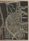
Ithaca Village.
note:
… to
Early
Maps of the Middle
Schoharie County.
note:
… to
Early
Maps of the Middle
Saint Lawrence County.
note:
… to
Early
Maps of the Middle
Otsego County.
note:
… to
Early
Maps of the Middle
Oswego County.
note:
… to
Early
Maps of the Middle
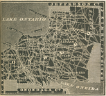
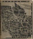
Onondaga County.
note:
… to
Early
Maps of the Middle
Delaware County.
note:
… to
Early
Maps of the Middle
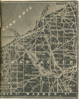
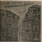
Oswego.
note:
… to
Early
Maps of the Middle
Steuben County.
note:
… to
Early
Maps of the Middle
verso title page
note:
… to
Early
Maps of the Middle
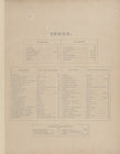
Index.
note:
Includes a sketch of the
early
history
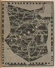
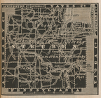
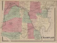
Champlain [Township]
note:
Includes a sketch of the
early
history
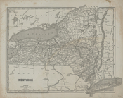
New York
note:
… to
Early
Maps of the Middle
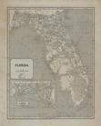
Florida.
note:
… to
Early
Maps of the Middle
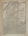
Maine.
note:
… to
Early
Maps of the Middle
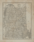
Vermont and New Hampshire.
note:
… to
Early
Maps of the Middle
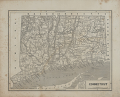
Connecticut.
note:
… to
Early
Maps of the Middle
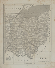
Ohio.
note:
… to
Early
Maps of the Middle
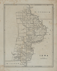
Iowa.
note:
… to
Early
Maps of the Middle
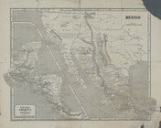
Central America and Yucatan (…
note:
… to
Early
Maps of the Middle
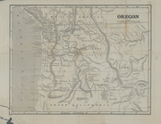
Oregon.
note:
… to
Early
Maps of the Middle
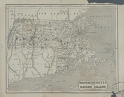
Massachusetts and Rhode Islan…
note:
… to
Early
Maps of the Middle
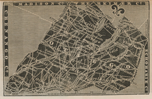
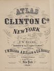
Atlas of Clinton Co., New Yor…
note:
Includes a sketch of the
early
history
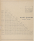
Table of Airline Distances fo…
note:
Includes a sketch of the
early
history
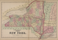
Plan of the State of New York.
note:
Includes a sketch of the
early
history
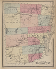
Plan of Clinton Co., N.Y."
note:
Includes a sketch of the
early
history