Click to visit the main New York Public Library Homepage
The New York Public Library
Digital Collections
About Digital Collections
Browse
Search only public domain materials
Items
Collections
Divisions
Home
Search
Browse
About
Search only public domain materials
Items
Collections
Divisions
Digital Collections
Using Images
Using Data
Search
Filtered keyword search
Show filters
Hide filters
Show Only Public Domain
topic
Nautical charts
106
Administrative and political divisions
31
Harbors
31
Real property
19
Navigation
16
More
Less
name
United States Coast Survey
98
Bache, A. D. (Alexander Dallas), 1806-1867
84
Carey, Mathew, 1760-1839
45
Manning, Thomas S
44
New York (N.Y.). Department of Parks. Topographical Division
29
More
Less
collection
Maps of North America
162
Atlases, gazetteers, guidebooks and other books
44
Maps of New York City and State
42
Atlases of New York City
33
Atlases of the United States
18
More
Less
place
New York (State)
63
New York (N.Y.)
32
Central Park (New York, N.Y.)
29
New Jersey
29
Massachusetts
17
More
Less
genre
Maps
326
Nautical charts
83
Topographic maps
40
Bathymetric maps
37
Atlases
18
More
Less
publisher
M. Carey
45
U.S. Coast Survey
39
The Division
29
U.S. Coast Survey Office
26
Published by A.T. Goodrich, 124 Broad Way
14
More
Less
division
Map Division
312
Rare Book Division
10
General Research Division
3
Pforzheimer Collection
2
Schomburg Jean Blackwell Hutson Research and Reference Division
1
More
Less
type
x
cartographic
text
15
still image
5
Date Range
to
329 results found for:
x
A. M. C
Filtering on:
x
Type
: cartographic
Sort by:
Relevance
Title
Date created
Date digitized
Sequence
Results 251 - 300
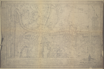
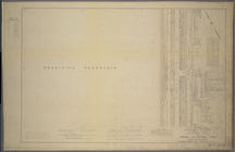
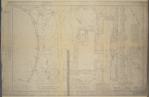
Map of Maryland: showing the …
parent:
4ae5
a
4
c
0-
c
52b-012f-967
a
-3
c
075448cc4b
A new map of Illinois and par…
parent:
b8e12
c
20-
c
52
a
-012f-11bb-3
c
075448cc4b
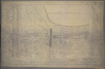
Reconnaissance of Canal de Ha…
parent:
b8e12
c
20-
c
52
a
-012f-11bb-3
c
075448cc4b
Map showing different routes …
parent:
7e65d320-7
c
54-0135-14
c
5-08b3e6
a
1db59
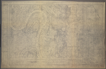
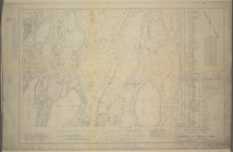
Bass River Harbor, Massachuse…
parent:
c
7805100-5296-0134-ff89-00505686
a
51
c
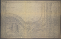
Preliminary chart of San Luis…
parent:
b8e12
c
20-
c
52
a
-012f-11bb-3
c
075448cc4b
….R. Pulling,
M
.D
parent:
a
1
a
9d830-
c
5
a
6-012f-00ec-58d385
a
7bc34
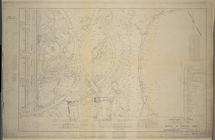
Survey of the mouth of Trail …
parent:
b8e12
c
20-
c
52
a
-012f-11bb-3
c
075448cc4b
A map, historical and biograp…
parent:
c
4375720-
c
52
a
-012f-43e6-3
c
075448cc4b
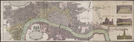
Vrbium Londini et West-Monast…
parent:
6e6
c
4
a
50-
c
6e7-012f-
a
322-58d385
a
7bc34
M
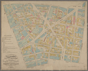
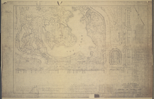
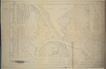
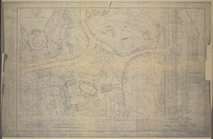
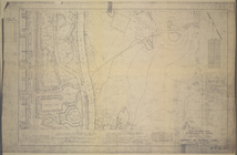
-T-10-100: Index Map of Central Park
parent:
01306760-
c
605-012f-2
c
7d-58d385
a
7bc34
M
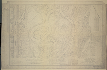
-T-10-101: [Bounded by West 108th
parent:
00
c
7dea0-
c
605-012f-00
c
8-58d385
a
7bc34
M
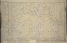
-T-10-117: [Bounded by Central Park
parent:
00
c
7dea0-
c
605-012f-00
c
8-58d385
a
7bc34
M
-T-10-102: [Bounded by East Drive
parent:
00
c
7dea0-
c
605-012f-00
c
8-58d385
a
7bc34
M
-T-10-104: [Bounded by East Drive
parent:
00
c
7dea0-
c
605-012f-00
c
8-58d385
a
7bc34
M
-T-10-110: [Bounded by Bridle Path
parent:
03
c
08d10-
c
605-012f-
c
05f-58d385
a
7bc34
M
-T-10-119: [Bounded by West 74th
parent:
00
c
7dea0-
c
605-012f-00
c
8-58d385
a
7bc34
M
-T-10-125: [Bounded by West 63rd
parent:
00
c
7dea0-
c
605-012f-00
c
8-58d385
a
7bc34
M
-T-10-126: [Bounded by (The Pond) East
parent:
00
c
7dea0-
c
605-012f-00
c
8-58d385
a
7bc34
M
-T-10-127: [Bounded by Columbus Circle
parent:
08501f40-
c
605-012f-9
c
0f-58d385
a
7bc34
M
-T-10-128: [Bounded by (The Pond) East
parent:
00
c
7dea0-
c
605-012f-00
c
8-58d385
a
7bc34
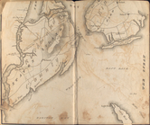
New Haven, Connecticut
parent:
dfaeac40-37cc-0134-f1ef-00505686
a
51
c
M
-T-10-103: [Bounded by West 104th
parent:
00
c
7dea0-
c
605-012f-00
c
8-58d385
a
7bc34
M
-T-10-105: [Bounded by West 100th
parent:
00
c
7dea0-
c
605-012f-00
c
8-58d385
a
7bc34
M
-T-10-106: [Bounded by North Meadow
parent:
00
c
7dea0-
c
605-012f-00
c
8-58d385
a
7bc34
M
-T-10-107: [Bounded by West 96th
parent:
00
c
7dea0-
c
605-012f-00
c
8-58d385
a
7bc34
M
-T-10-108: [Bounded by North Meadow
parent:
00
c
7dea0-
c
605-012f-00
c
8-58d385
a
7bc34
M
-T-10-109: [Bounded by West 93rd
parent:
00
c
7dea0-
c
605-012f-00
c
8-58d385
a
7bc34
M
-T-10-111: [Bounded by West 89th
parent:
00
c
7dea0-
c
605-012f-00
c
8-58d385
a
7bc34
M
-T-10-112: [Bounded by Bridle Path
parent:
00
c
7dea0-
c
605-012f-00
c
8-58d385
a
7bc34
M
-T-10-113: [Bounded by West 85th
parent:
04907470-
c
605-012f-5
c
63-58d385
a
7bc34
M
-T-10-114: [Bounded by Bridle Path
parent:
04db3080-
c
605-012f-9
c
02-58d385
a
7bc34
M
-T-10-115: [Bounded by West 81st
parent:
00
c
7dea0-
c
605-012f-00
c
8-58d385
a
7bc34
M
-T-10-116: [Bounded by East Drive
parent:
055dcd60-
c
605-012f-
c
8bc-58d385
a
7bc34
M
-T-10-118: [Bounded by East Drive
parent:
00
c
7dea0-
c
605-012f-00
c
8-58d385
a
7bc34
M
-T-10-120: [Bounded by (The Lake) East
parent:
00
c
7dea0-
c
605-012f-00
c
8-58d385
a
7bc34
M
-T-10-121: [Bounded by West 70th
parent:
06b23540-
c
605-012f-98
c
3-58d385
a
7bc34
M
-T-10-122: [Bounded by (The Lake) East
parent:
00
c
7dea0-
c
605-012f-00
c
8-58d385
a
7bc34
M
-T-10-123: [Bounded by West 66th
parent:
00
c
7dea0-
c
605-012f-00
c
8-58d385
a
7bc34
M
-T-10-124: [Bounded by (The Lake) East
parent:
00
c
7dea0-
c
605-012f-00
c
8-58d385
a
7bc34
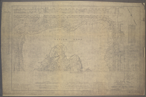
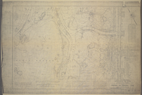
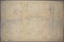
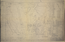
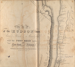
Post route map of the states …
parent:
f58affb0-
c
52
a
-012f-56dd-3
c
075448cc4b
Post route map of the state o…
parent:
28d4aaa0-b143-0132-
c
9cc-58d385
a
7bbd0
Montana Helena sheet
parent:
bda7e570-2931-0136-f63
c
-03
a
1d18e5
c
48
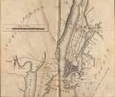
Map of the Hudson ... from Sa…
parent:
a
3ec1
a
00-
c
5ed-012f-88ee-58d385
a
7bc34
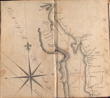
Map of the Hudson ... from Ne…
parent:
70
a
42620-
c
5f6-012f-29b9-58d385
a
7bc34
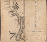
Map of the Hudson ... from Sp…
parent:
71044f00-
c
5f6-012f-9
c
1d-58d385
a
7bc34
Map of the Hudson ... from Ta…
parent:
a
3ec1
a
00-
c
5ed-012f-88ee-58d385
a
7bc34
Map of the Hudson ... from Pe…
parent:
71bae8
a
0-
c
5f6-012f-
a
358-58d385
a
7bc34
Map of the Hudson ... from Ne…
parent:
721ba250-
c
5f6-012f-1
c
98-58d385
a
7bc34
Map of the Hudson ... from Po…
parent:
a
3ec1
a
00-
c
5ed-012f-88ee-58d385
a
7bc34
1
2
Previous
Next
1
2
Previous
Next